- Mapandan, Pangasinan
-
Mapandan — Municipality — 
SealMap of Pangasinan showing the location of Mapandan. Location in the Philippines
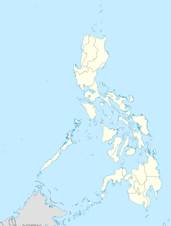
 Mapandan
Coordinates: 16°01′N 120°27′E / 16.017°N 120.45°ECoordinates: 16°01′N 120°27′E / 16.017°N 120.45°E Country  Philippines
Region Ilocos Region (Region I) Province Pangasinan District 3rd District, Pangasinan Founded Barangays 15 Government - Mayor General Maximo M. Calimlim, Jr. (Ret) Area - Total 30.00 km2 (11.6 sq mi) Population (2007) - Total 32,905 - Density 1,096.8/km2 (2,840.8/sq mi) Time zone PST (UTC+8) ZIP code 2429 Income class 3rd class; rural Population Census of Mapandan Census Pop. Rate 1995 27,439 — 2000 30,775 2.49% 2007 32,905 0.93% Mapandan is a 3rd class municipality in the province of Pangasinan, Philippines. According to the latest census, it has a population of 32,905 people in 5,751 households. Mapandan is also a Hall of Famer for having the Pangasinan's Cleanest, Safest and Greenest Municipality (Category B). Mapandan also bagged the Pangasinan's Healthiest Municipality for having the least number of malnourished children.
Barangays
Mapandan is politically subdivided into 15 barangays
- Amanoaoac
- Apaya
- Aserda
- Baloling
- Coral
- Golden
- Jimenez
- Lambayan
- Luyan (Luyan South)
- Nilombot
- Pias
- Poblacion
- Primicias
- Santa Maria
- Torres
External links
- Philippine Standard Geographic Code
- 2007 Philippine Census Information
- 2000 Philippine Census Information
- 1995 Philippine Census Information
Dagupan City • Binmaley • Calasiao • Lingayen • Manaoag • Mangaldan • Mapandan • San Fabian • San Jacinto • Santa BarbaraMunicipalities Agno • Aguilar • Alcala • Anda • Asingan • Balungao • Bani • Basista • Bautista • Bayambang • Binalonan • Binmaley • Bolinao • Bugallon • Burgos • Calasiao • Dasol • Infanta • Labrador • Laoac • Lingayen • Mabini • Malasiqui • Manaoag • Mangaldan • Mangatarem • Mapandan • Natividad • Pozorrubio • Rosales • San Fabian • San Jacinto • San Manuel • San Nicolas • San Quintin • Santa Barbara • Santa Maria • Santo Tomas • Sison • Sual • Tayug • Umingan • Urbiztondo • VillasisComponent cities Alaminos • San Carlos • UrdanetaIndependent component city (Administratively independent from the province, but grouped under Pangasinan by the National Statistics Office)Categories:- Municipalities of Pangasinan


Wikimedia Foundation. 2010.