- Iakora District
Infobox Settlement
official_name = Iakora District
other_name =
native_name =
nickname =
settlement_type = District
motto =
imagesize =
image_caption =
flag_size =
image_
seal_size =
image_shield =
shield_size =
image_blank_emblem =
blank_emblem_type =
blank_emblem_size =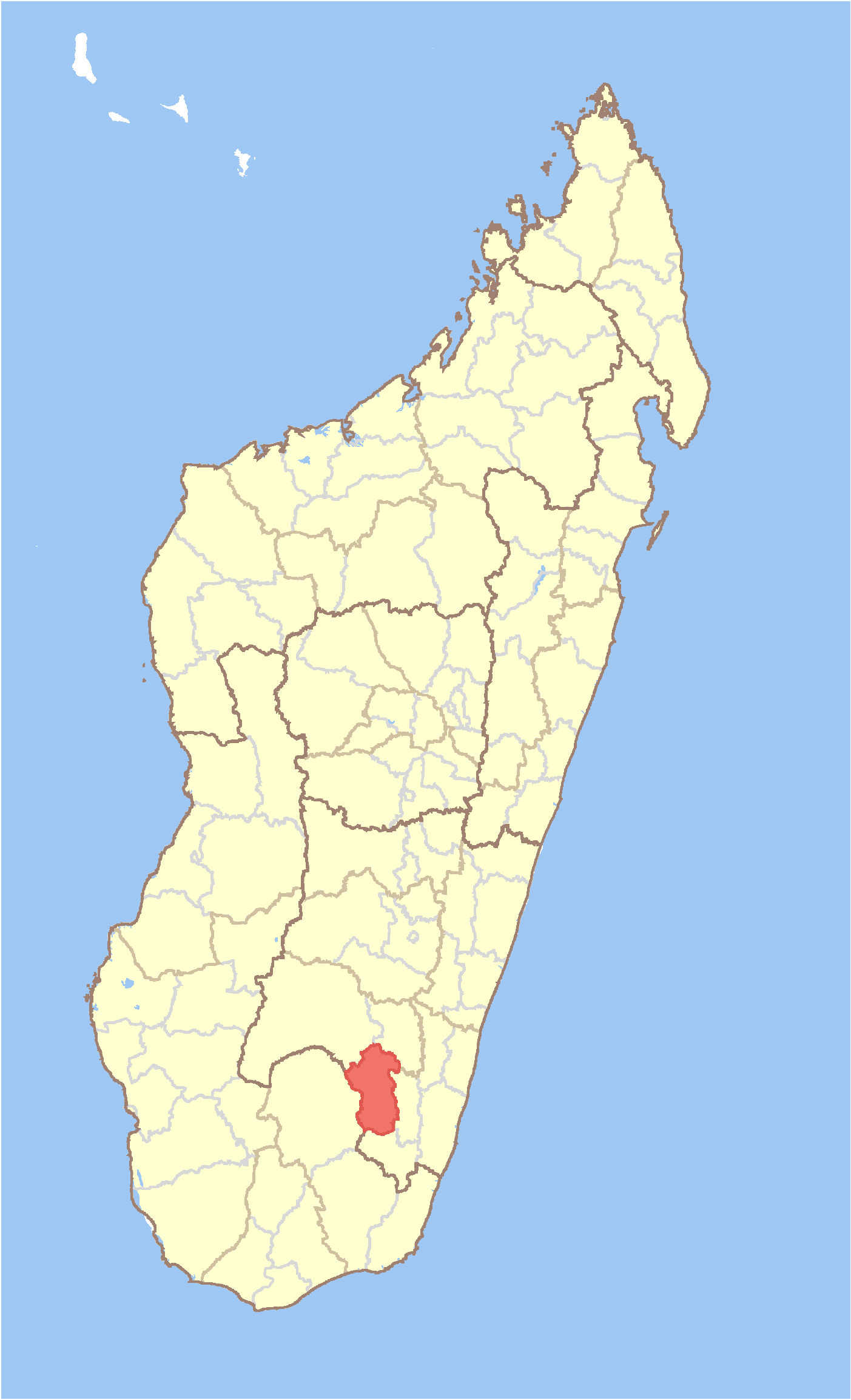
mapsize = 180px
map_caption = Location in Madagascar
mapsize1 =
map_caption1 =
image_dot_
dot_mapsize =
dot_map_caption =
dot_x = |dot_y =
pushpin_
pushpin_label_position =
pushpin_map_caption =
pushpin_mapsize =
subdivision_type = Country
subdivision_name = MAD
subdivision_type1 = Province
subdivision_name1 = Antsiranana
subdivision_type2 = Region
subdivision_name2 = Ihorombe
subdivision_type3 =
subdivision_name3 =
subdivision_type4 =
subdivision_name4 =
seat_type = Capital
seat =
government_footnotes =
government_type =
leader_title =
leader_name =
leader_title1 =
leader_name1 =
leader_title2 =
leader_name2 =
leader_title3 =
leader_name3 =
leader_title4 =
leader_name4 =
established_title =
established_date =
established_title2 =
established_date2 =
established_title3 =
established_date3 =
area_magnitude =
unit_pref =
area_footnotes =
area_total_km2 = 4633
area_land_km2 =
area_water_km2 =
area_total_sq_mi =
area_land_sq_mi =
area_water_sq_mi =
area_water_percent =
area_urban_km2 =
area_urban_sq_mi =
area_metro_km2 =
area_metro_sq_mi =
area_blank1_title =
area_blank1_km2 =
area_blank1_sq_mi =
population_as_of =2001
population_footnotes =
population_note =
population_total =29987
population_density_km2 =6.5
population_density_sq_mi =
population_blank1_title =Ethnicities
population_blank1 =
population_blank2_title =Religions
population_blank2 =
timezone = EAT
utc_offset = 3
timezone_DST =
utc_offset_DST =
latd=23 |latm=06 |lats= |latNS=S
longd=46|longm=39 |longs= |longEW=E
elevation_footnotes =
elevation_m =
elevation_ft =
postal_code_type =
postal_code =
area_code =
blank_name =
blank_info =
blank1_name =
blank1_info =
website =
footnotes =Iakora is a district in south-eastern
Madagascar . It's a part ofIhorombe Region ofFianarantsoa Province , and borders the districts of Ihosy in northwest, Ivohibe in northeast, Midongy Sud in east, Befotaka in south and Betroka in west. The area is convert|4633|km2|sqmi|0|lk=on|abbr=on and the population was 29,987 in 2001.cite web
url=http://www.xist.org/cntry/madagascar.aspx
title=Madagascar Administrative units
publisher=GeoHive
accessdate=2008-04-28] The district is further divided into 3 communes.References and notes
Wikimedia Foundation. 2010.