- Bowman, North Dakota
Infobox Settlement
official_name = Bowman, North Dakota
settlement_type =City
nickname =
motto =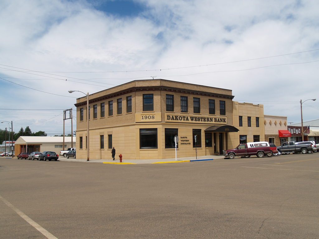
imagesize =
image_caption = Dakota Western Bank, Bowman, North Dakota
image_
mapsize = 250px
map_caption = Location of Bowman, North Dakota
mapsize1 =
map_caption1 =subdivision_type = Country
subdivision_name =United States
subdivision_type1 = State
subdivision_name1 =North Dakota
subdivision_type2 = County
subdivision_name2 = Bowmangovernment_footnotes =
government_type =
leader_title =
leader_name =
leader_title1 =
leader_name1 =
established_title = Founded
established_date = 1907unit_pref = Imperial
area_footnotes =area_magnitude =
area_total_km2 = 3.4
area_land_km2 = 3.4
area_water_km2 = 0.0
area_total_sq_mi = 1.3
area_land_sq_mi = 1.3
area_water_sq_mi = 0.0population_as_of = 2000
population_footnotes =
population_total = 1600
population_density_km2 = 474.1
population_density_sq_mi = 1227.8timezone = Mountain (MST)
utc_offset = -7
timezone_DST = MDT
utc_offset_DST = -6
elevation_footnotes =
elevation_m = 903
elevation_ft = 2963
latd = 46 |latm = 10 |lats = 54 |latNS = N
longd = 103 |longm = 24 |longs = 1 |longEW = Wpostal_code_type =
ZIP code
postal_code = 58623
area_code = 701
blank_name = FIPS code
blank_info = 38-08700GR|2
blank1_name = GNIS feature ID
blank1_info = 1028099GR|3
website =
footnotes =Bowman is a city in Bowman County,
North Dakota in theUnited States . It is thecounty seat of Bowman County.GR|6 The city is home toBowman County High School . The population was 1,600 at the 2000 census. Bowman was founded in 1907.Geography
Bowman is located at coor dms|46|10|54|N|103|24|1|W|city (46.181791, -103.400211).GR|1
According to the
United States Census Bureau , the city has a total area of 1.3square mile s (3.4km² ), all of it land.Demographics
As of the
census GR|2 of 2000, there were 1,600 people, 702 households, and 419 families residing in the city. Thepopulation density was 1,227.8 people per square mile (475.2/km²). There were 799 housing units at an average density of 613.2/sq mi (237.3/km²). The racial makeup of the city was 99.12% White, 0.12% Native American, 0.12% from other races, and 0.62% from two or more races. Hispanic or Latino of any race were 0.75% of the population.There were 702 households out of which 25.9% had children under the age of 18 living with them, 51.3% were married couples living together, 6.1% had a female householder with no husband present, and 40.3% were non-families. 37.5% of all households were made up of individuals and 21.1% had someone living alone who was 65 years of age or older. The average household size was 2.15 and the average family size was 2.84.
In the city the population was spread out with 21.7% under the age of 18, 5.2% from 18 to 24, 23.8% from 25 to 44, 22.5% from 45 to 64, and 26.9% who were 65 years of age or older. The median age was 45 years. For every 100 females there were 91.2 males. For every 100 females age 18 and over, there were 89.6 males.
The median income for a household in the city was $31,645, and the median income for a family was $41,131. Males had a median income of $28,824 versus $19,688 for females. The
per capita income for the city was $18,851. About 5.4% of families and 7.5% of the population were below thepoverty line , including 8.2% of those under age 18 and 9.6% of those age 65 or over.USCensusPop
1920= 767
1930= 888
1940= 967
1950= 1382
1960= 1730
1970= 1762
1980= 2071
1990= 1741
2000= 1600
estimate= 1487
estyear= 2006
estref=Fact|date=June 2008References
External links
* [http://www.bowmannd.com/ City of Bowman official website]
Wikimedia Foundation. 2010.