- Germencik
Infobox Settlement
settlement_type = District
subdivision_type = Country
subdivision_name = TUR
timezone=EET
utc_offset=+2
map_caption =Location of PAGENAME within Turkey.
timezone_DST=EEST
utc_offset_DST=+3official_name = Germencik
image_caption =
image_blank_emblem =
blank_emblem_type =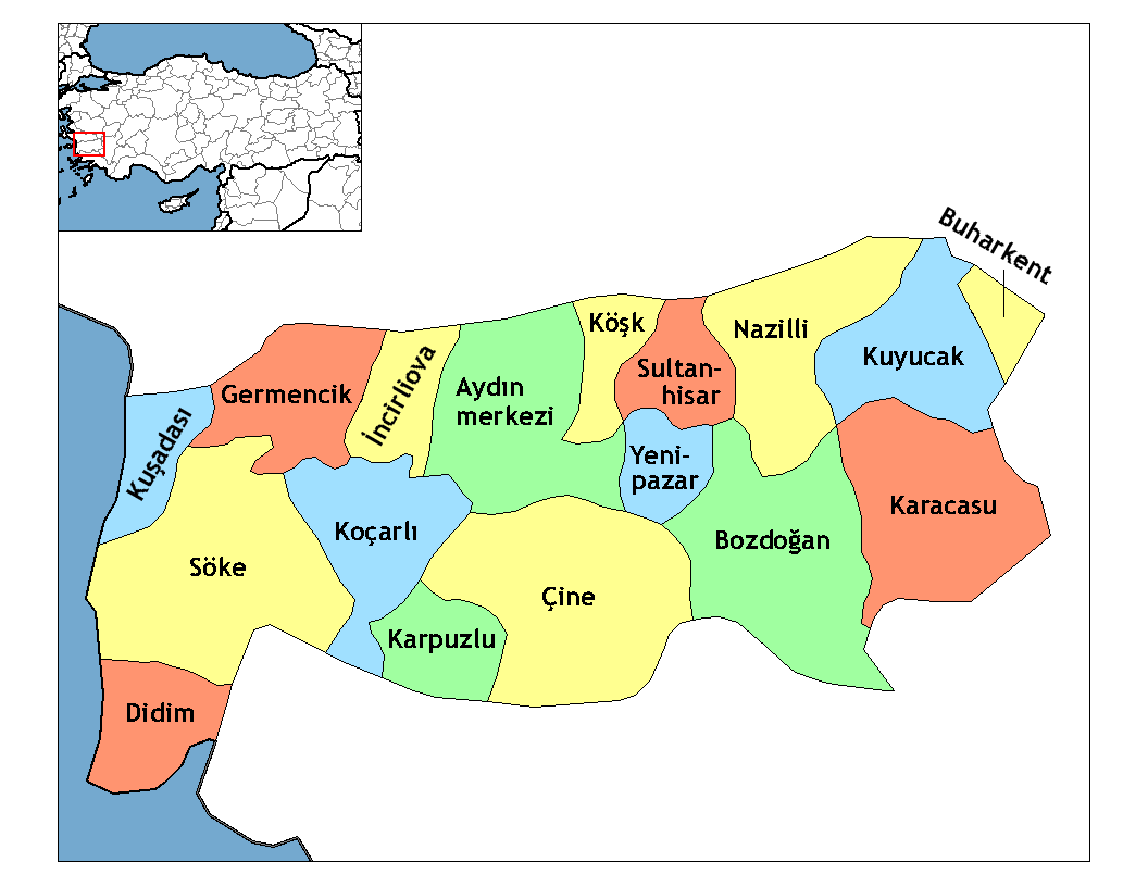
subdivision_type1=Region
subdivision_name1 = Aegean
subdivision_type2=Province
subdivision_name2 = Aydın| population_total = 45821|population_footnotes=
urban population| = 11,596
population_as_of = 2000
population_footnotes =
population_density_km2 =
area_total_km2 = 374|elevation_m = 61|postal_code_type=Postal code
postal_code = 09
area_code = 256
blank_info = 09|blank_name=Licence plate
leader_name =
website =
leader_name1=
gwebsite =Germencik is a town and a district of
Aydın Province in the Aegean region ofTurkey .Geography
Germencik is located in the middle of the fertile
Büyük Menderes (Meander) plain, inland from the Aegean coastal town ofKuşadası , on the Aydın-İzmir highway convert|25|km|mi|0|abbr=on from the city ofAydın . It is also the junction of the İzmir-Aydın-Afyonkarahisar andOrtaklar -Söke railway lines.Until the 1950s the plain was a swampy area subject to regular flooding and Germencik grew as people moved from the wet lands into the town. Today Germencik itself is a small town of 12,000 people, astride the Izmir-Aydın highway, providing high schools, a hospital, a library and other services for the surrounding district. There are more health centres and primary schools in the villages of the district.
The economy of Germencik depends on agriculture, the main crops are figs and olives but cotton, sesame and other crops are also grown here. Of the 374.39 km² total area of Germencik 255.8 km² is planted and of the remainder 106.23 km² is forest, 6.65 km² is meadow/pasture, 5.19 km² is unused and 0.52 km² is lake or swamp. In 1998 16,950 tons of cotton were produced from 56.5 km², 7,500 tons of figs from 87.22 km² and 44,170 tons of olives from 92.92 km². Sheep and cattle are raised too and there is a small dairy industry as well as bee-keeping and some poultry farming.
Industry in the area is mainly the processing of the local produce to make
tahini ,helva , olive oil etc.The people live the traditional Turkish rural lifestyle with strong family ties etc. The women generally have their heads covered and wear long skirts.
History
Germencik is an old settlement, first founded by 'Hıdır Bey' of the Beylik of
Aydınoğlu Principality under the name "Değirmencik" (little mill). Later, it has also been called "İğneabad". The town obtained district's status in 1948.Places of interest
* The remains of the antique city of
Magnesia on the Maeander are located in Germencik district, on the road from Ortaklar toSöke , near the village of Tekin. SeeMagnesia on the Maeander for more details of this city, founded byAncient Greeks from Thessaly and in its day a key trading partner ofPriene ,Ephesus ,Tralles and other major Aegean cities. The ruins have been excavated and include a theatre, temples and anAncient Roman gymnasium, and baths.
* The hot springs in the villages of Alangüllü, Çamur, and Gümüşlü, all 10-12 km north of Germencik.External links
Wikimedia Foundation. 2010.