Reedy Creek, Queensland

Reedy Creek, Queensland

Infobox Australian Place | type = suburb
name = Reedy Creek
city = Gold Coast
state = Queensland


caption =
lga = Gold Coast City
postcode = 4227
est =
pop =
area =
propval =
stategov = Mudgeeraba, Burleigh
fedgov = McPherson
dist2 =
location2=
dist1 =
location1=
near-nw = Mudgeeraba and Robina
near-n = Varsity Lakes
near-ne = Andrews
near-w = Bonogin
near-e = Andrews
near-sw = Bonogin
near-s = Tallebudgera Valley
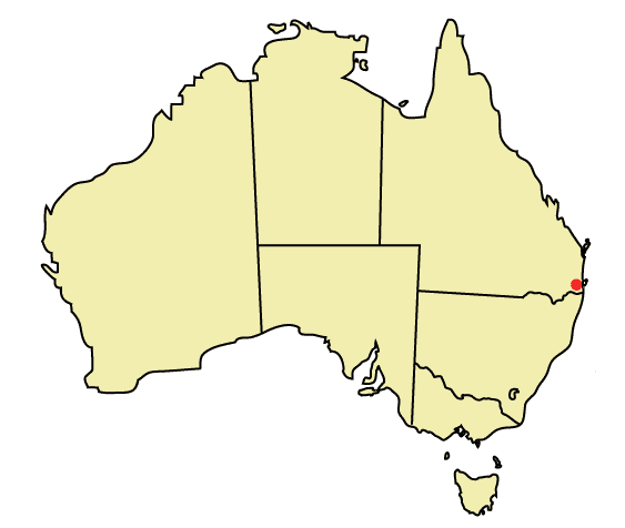
near-se = Tallebudgera

Reedy Creek is a suburb of the Gold Coast in Queensland, Australia. The suburb is adjacent to the Pacific Motorway (M1). Located in the hinterland towards the southern end of the city, Reedy Creek is a developing residential area. Three schools are located in the suburb: Hillcrest Christian College, Kings Christian College and Gold Coast Seventh-Day Adventist Primary School. Other major facilities are located in adjacent suburbs, including Robina Town Centre and Robina railway station in Robina. A proposed extension of the Gold Coast railway line will see a new train station on the Varsity Lakes side of the Pacific Motorway, [cite web | title = State Government Makes Tracks From Robina to Varsity Lakes | publisher = Queensland Government | url = http://statements.cabinet.qld.gov.au/MMS/StatementDisplaySingle.aspx?id=52854 | date = 2007-07-10 | accessdate = 2007-07-18] but with a pedestrian overpass linking it with Reedy Creek.

ee also

* List of Gold Coast suburbs
* Reedy Creek Observatory

References


Wikimedia Foundation. 2010.

Игры ⚽ Поможем написать курсовую

Look at other dictionaries:

  • Reedy Creek — may refer to places in:Australia * Reedy Creek, Queensland ** Reedy Creek Observatory, observatory * Reedy Creek Reserve, QueenslandUSA * Reedy Creek Improvement District, Florida …   Wikipedia

  • Reedy Creek Observatory — is the location for observations of Near Earth objects by John Broughton, an Australian astronomer.The International Astronomical Union (IAU) Observatory Code for Reedy Creek is 428 [http://cfa www.harvard.edu/iau/lists/ObsCodes.html] .The… …   Wikipedia

  • Reedy Creek Reserve — is a 250 ha nature reserve on the coast of south eastern Queensland, Australia, 3 km south of the expanding tourist township of Agnes Water and borders the Deepwater National Park. It is located 134 km north of Bundaberg and 495 km north of… …   Wikipedia

  • McLeod River (Queensland) — McLeod RiverVorlage:Infobox Fluss/GKZ fehlt Lage Queensland (Australien) Flusssystem Mitchell River Abfluss über Mitchell River → …   Deutsch Wikipedia

  • Currumbin, Queensland — Currumbin redirects here. For the Queensland electoral division, see Electoral district of Currumbin. Currumbin Gold Coast, Queensland Population: 2,647 (2006)[1] …   Wikipedia

  • Gilbert River (Queensland) — Gilbert River Furt der Burke Developmental Road am Gilbert RiverVorlage:Infobox Fluss/KARTE fehlt …   Deutsch Wikipedia

  • Road routes in Gold Coast, Queensland — This is a list of marked road routes on the Gold Coast.Road routes on the Gold Coast are mostly numbered separately from those of Brisbane. This came into effect in the mid to late 1990s, and some remnants of the old system still remain. All… …   Wikipedia

  • Coolangatta, Queensland — Coolangatta redirects here. For the New South Wales settlement, see Coolangatta, New South Wales. Coordinates: 28°10′0″S 153°32′0″E / 28.166667°S 153.533333°E …   Wikipedia

  • Andrews, Queensland — Infobox Australian Place | type = suburb name = Andrews city = Gold Coast state = Queensland caption = lga = Gold Coast City postcode = 4220 est = pop = area = propval = stategov = fedgov = Moncrieff near nw = Varsity Lakes near n = Burleigh… …   Wikipedia

  • Clear Island Waters, Queensland — Clear Island Waters Gold Coast, Queensland Population: 4,091 (2006)[1] Postcode: 4226 …   Wikipedia

Share the article and excerpts

Direct link
Do a right-click on the link above
and select “Copy Link”