- M-59 (Michigan highway)
-
M-59

M-59 highlighted in redRoute information Maintained by MDOT Length: 60.514 mi[2] (97.39 km) Existed: ca. July 1, 1919[1] – present Major junctions West end:  I-96 in Howell
 US 23 near Howell
 US 24 in Pontiac


 BL I-75 / BUS US 24 in Pontiac
 I-75 in Auburn Hills
 M-150 in Rochester Hills
 M-53 in Utica
 M-97 near Mount Clemens
 M-3 near Mount Clemens
East end:  I-94 near Mount Clemens
Location Counties: Livingston, Oakland, Macomb Highway system Michigan State Trunkline Highway System
Interstate • US • State←  M-58
M-58M-60  →
→M-59 is an east–west state trunkline highway that crosses the northern part of Metropolitan Detroit in the US state of Michigan. It runs between Howell at Interstate 96 (I-96) and I-94 on the Chesterfield Township – Harrison Township line near the Selfridge Air National Guard Base. While primarily a multi-lane surface highway, it is a full freeway from just east of the Pontiac downtown near Opdyke Road to just east of the Mound Road/Merrill Road exit in Utica. The various surface highway segments are named either Highland Road, Huron Street or Hall Road, with the latter known as an area for shopping and dining. The rural sections west of Pontiac pass through Oakland County lake country crossing through two state recreational areas.
M-59 was first designated with the rest of the original state trunkline highway system by July 1, 1919 between Pontiac and Mt. Clemens. Extensions on both ends brought the termini as far as Howell and New Baltimore before the current termini were established in the 1960s. M-59 was expanded into a freeway in the late 1960s and early 1970s, with additional expansions in the 1980s and 1990s to create the divided highway sections.
Contents
Route description
M-59 starts at I-96 in Howell Township as Highland Road near a large outlet mall. Highland Road carries M-59 concurrently with the westernmost section of Business Loop I-96 (BL I-96). Highland Road widens out into a boulevard south of the county airport before the roadway reaches Grand River Avenue. At this intersection, BL I-96 departs to the southwest. This section of Howell is mostly residential with tree-lined streets. The boulevard section ends near Thompson Lake and M-59 continues east through rural Livingston County as a two-lane highway crossing forested and residential areas. Halfway across Hartland Township, M-59 meets the US Highway 23 (US 23) freeway near the Hartland Plaza Shopping Center, and Highland Road widens out to a boulevard divided highway again. The route passes several small lakes and continues east into Oakland County. Running through the Highland State Recreational Area, M-59 swings to the north through rural Oakland County's lake country which comprises several lakes in dense forest lands and residential subdivisions that form the northern edge of the Metropolitan Detroit area. There is a brief gap in the Highland SRA where M-59 narrows back to two-lane road. Near Brendel Lake and the Alpine Valley Ski Area, Highland Road narrows back to two lanes for the final time. The narrowed roadway continues east, crossing the southern edge of Pontiac Lake in the state recreational area of the same name.[3][4]
 M-59 (Highland Road) east of Duck Lake Road in Highland
The next major landmark along M-59 is the Oakland County International Airport in Waterford Township. Highland Road begins to curve back to the south through denser suburbs as it approaches the outskirts of Pontiac. The Highland Road name gives way to Huron Street near Sylvan Lake, and M-59 crosses Telegraph Road, which carries US 24 and marks the boundary with Pontiac. Huron Street continues east into downtown Pontiac where it crosses the northern end of Woodward Avenue, which is part of the two business loops that encircle the central business district. East of downtown Pontiac, M-59 widens out into a full freeway. This freeway provides access to the south side of the Pontiac Silverdome, former home of the Detroit Lions. To the east of the stadium in Auburn Hills is the cloverleaf interchange with I-75 and the North American corporate headquarters of car maker Chrysler. Continuing east through the northern Detroit suburbs, the M-59 freeway curves back to the south and crosses into Macomb County at the Dequindre Road interchange.[3][4]
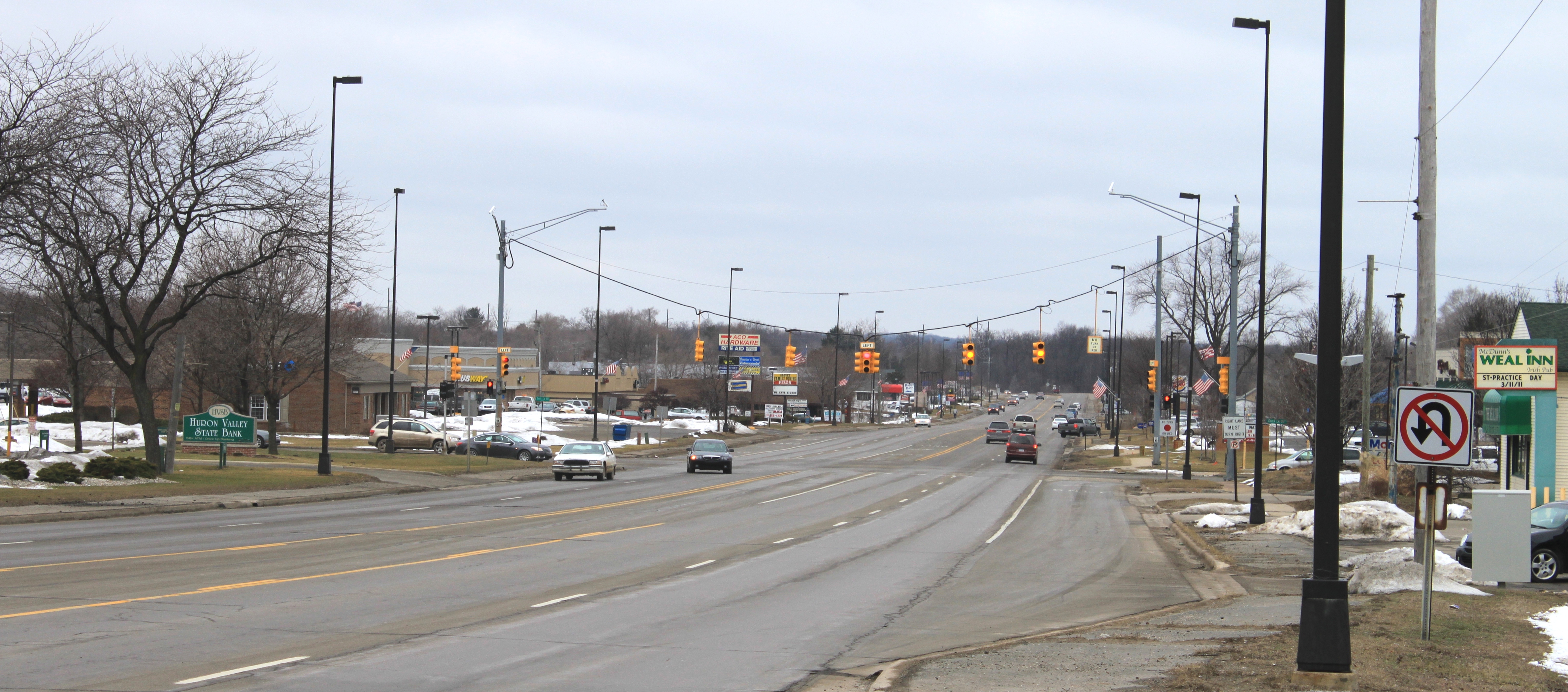
The M-59 freeway crosses the border between Sterling Heights and Shelby Township and ends at Van Dyke Avenue in Utica, where M-59 becomes a boulevard called Hall Road. The highway crosses the Clinton River and the southern end of the M-53 freeway.[3] This section of the highway is somewhat of a "main street" in Macomb County, as it is home to a wide variety of shopping and dining including Lakeside Mall in Sterling Heights and The Mall at Partridge Creek in Clinton Township.[5] Although it is neither officially designated nor commonly referred to as such, the Hall Road portion of M-59 is coextensive with "20 Mile Road" in the Detroit Mile Road system. Near its eastern terminus, M-59 crosses both M-97 (Groesbeck Highway) and M-3 (Gratiot Avenue). East of Gratiot, Hall Road is called the William P. Rosso Highway. M-59 ends at the freeway interchange with I-94 while Rosso Highway continues along the northern edge of Selfridge Air National Guard Base to Lake St. Clair.[4]
History
M-59 was first designated by July 1, 1919 between M-10 (now BUS US 24) in Pontiac and M-19 (later US 25 and now M-3) in Mt. Clemens.[1] It would be moved to follow Hall Road exclusively on the east end in 1932.[6][7] The west end was extended in 1936 to end at the Livingston–Oakland county line.[8][9] The extension to US 23 in Hartland was finished by 1938.[10] The east end was extended again in 1939 along US 25 and over to M-29 in New Baltimore.[11] The east end was rerouted again between Mt. Clemens and New Baltimore over another former alignment of M-29 in late 1947 or early 1948.[12][13] The eastern terminus was truncated to M-29 east of US 25/Gratiot Avenue in 1961.[14][15]
Another extension on the west end moved M-59 to end at US 16 in Howell by 1960.[16][17] The west end was extended with the new BL I-96 in Howell to end at the newly opened I-96 freeway in 1963.[18][19] The east end was rerouted to end at I-94 in 1964.[19][20]
M-59 was converted into a freeway starting in 1966 with the first segment between Pontiac and Rochester.[21][22] A second segment opened in 1972 east to Utica.[23][24] Segments were converted to divided highway in Oakland County in 1984 through 1986.[25][26] The east end was reconstructed in 1995–97 and converted to a six- to eight-lane divided highway.[27][28] The freeway was extended east in 1998 to Van Dyke Avenue in Utica.[29][30]
Future
MDOT is currently in the process of expanding M-59 from two lanes to three in each direction between Crooks Road and Ryan Road, using funding from the Federal stimulus bill of 2009. With this improvement, M-59 will be at least 3 lanes each way from I-75 to I-94.[31]
Major intersections
County Location Mile[2] Exit Destinations Notes Livingston Howell Township 0.000  I-96 / BL I-96 ends – Lansing, Detroit
Western end of BL I-96 concurrency; exit 133 on I-96 1.004 BL I-96 east (Grand River Avenue) – Downtown HowellEastern end of BL I-96 concurrency Hartland Township 12.719 US 23 – Ann Arbor, FlintExit 67 on US 23 Oakland Waterford Township –
Pontiac35.577 US 24 (Telegraph Road) – Clarkston, SouthfieldPontiac 37.311
 BL I-75 / BUS US 24 (Woodward Avenue) to M-1 – Birmingham
37.874 Freeway begins 38.557 38 Martin Luthur King Jr. Boulevard Pontiac –
Auburn Hills39.582 39 Opdyke Road – Pontiac Silverdome Auburn Hills 40.153–
40.22940 I-75 – Detroit, FlintSigned as exit 40A (south) and 40B (north); exit 77 on I-75 41.108 41 Squirrel Road Signed as exit 41A (south) and 41B (north) eastbound Rochester Hills 42.472 42 Adams Road 43.640 44 Crooks Road 46.83 46 M-150 (Rochester Road) – Rochester Hills, TroyOakland–Macomb Rochester Hills –
Sterling Heights48.157 48 Dequindre Road Macomb Sterling Heights 50.161 — Mound Road, Merrill Road 51.080 Freeway ends Utica 52.176 M-53 – Detroit, Imlay CityExit 17 on M-53 Clinton Charter Township 59.168 M-97 south (Groesbeck Highway) / North AvenueNorthern terminus of M-97 59.942 M-3 (Gratiot Avenue) – Mt. ClemensKnown as "William P. Rosso Highway" east of M-3 Chesterfield Township 60.496–
60.514 I-94 – Detroit, Port HuronExit 240 on I-94 1.000 mi = 1.609 km; 1.000 km = 0.621 mi
Concurrency terminus • Closed/Former • Incomplete access • UnopenedReferences
- ^ a b Michigan State Highway Department (1919). State of Michigan: Lower Peninsula (Map). Cartography by MSHD. http://maps.lib.msu.edu/miroadmaps/1919-lp.htm. Retrieved March 2, 2008.
- ^ a b "MDOT Physical Reference Finder Application". Michigan Department of Transportation. 2009. http://www.mcgi.state.mi.us/prfinder/. Retrieved August 22, 2010.
- ^ a b c Google, Inc. Google Maps – Overview Map of M-59 (Map). Cartography by Google, Inc. http://maps.google.com/maps?f=d&source=s_d&saddr=I-96+E&daddr=42.63018,-83.85596+to:42.64852,-83.53743+to:William+P+Rosso+Hwy&hl=en&geocode=FTREigId2F_--g%3BFSR8igIdqHUA-yl5XOKUT0EjiDFT3LxNhzn7UQ%3BFcjDigId6lEF-ykJdDrypaEkiDFPX-xM0ZtzGA%3BFYN7igIdwcwP-w&mra=dme&mrcr=0&mrsp=3&sz=13&via=1,2&sll=42.592269,-82.892704&sspn=0.119424,0.128231&ie=UTF8&ll=42.583422,-83.345032&spn=1.911018,2.051697&t=h&z=9. Retrieved August 30, 2010.
- ^ a b c Michigan Department of Transportation (2010). Official Department of Transportation Map (Map). Detroit inset.
- ^ "Malls & Boutiques". Detroit Metro Convention & Visitors Bureau. 2010. http://www.visitdetroit.com/index.php/shop-metro-detroit/malls-boutiques. Retrieved August 22, 2010.
- ^ Michigan State Highway Department (July 1, 1932). Official Highway Service Map (Map). Cartography by H.M. Gousha.
- ^ Michigan State Highway Department (October 1, 1932). Official Highway Service Map (Map). Cartography by H.M. Gousha.
- ^ Michigan State Highway Department (June 1, 1936). 1936 Official Michigan Highway Map (Map). Cartography by Rand McNally. Section L12.
- ^ Michigan State Highway Department (December 15, 1936). 1936/7 Official Michigan Highway Map (Map). Cartography by Rand McNally (Winter ed.). Section L12.
- ^ Michigan State Highway Department (May 1, 1938). 1938 Official Michigan Highway Map (Map). Cartography by Rand McNally (Spring ed.). Section L12.
- ^ Michigan State Highway Department (April 15, 1939). 1939 Official Michigan Highway Map (Map). Cartography by Rand McNally (Summer ed.). Section L14.
- ^ Michigan State Highway Department (May 1, 1947). 1947 Official Highway Map (Map). Section L14.
- ^ Michigan State Highway Department (April 15, 1948). Michigan Official Highway Map (Map). Section L14.
- ^ Michigan State Highway Department (1961). Official Highway Map (Map). Section L14. (Includes all changes through July 1, 1961)
- ^ Michigan State Highway Department (1962). Official Highway Map (Map). Section L14.
- ^ Michigan State Highway Department (1958). Official Highway Map (Map). (Includes all changes through July 1, 1958)
- ^ Michigan State Highway Department (1960). Official Highway Map (Map). (Includes all changes through July 1, 1960)
- ^ Michigan State Highway Department (1963). Official Highway Map (Map). Section L12.
- ^ a b Michigan State Highway Department (1964). Official Highway Map (Map). Section L12–L14.
- ^ Michigan State Highway Department (1965). Official Highway Map (Map). Section L14.
- ^ Michigan Department of State Highways (1966). Official Highway Map (Map). Section L13.
- ^ Michigan Department of State Highways (1967). Official Highway Map (Map). Section L13.
- ^ Michigan Department of State Highways (1972). Official Highway Map (Map). 1 in.:14.5 mi.. Section L13.
- ^ Michigan Department of State Highways (1973). Official Highway Map (Map). 1 in.:14.5 mi.. Section L13.
- ^ Michigan Department of Transportation (1984). Official Transportation Map (Map). Detroit inset.
- ^ Michigan Department of Transportation (1987). Official Transportation Map (Map). Detroit inset.
- ^ Michigan Department of Transportation (1995). Michigan Department of Transportation Map (Map). Detroit inset.
- ^ Michigan Department of Transportation (1997). Michigan Department of Transportation Map (Map). Detroit inset.
- ^ Michigan Department of Transportation (1998). Michigan Department of Transportation Map (Map). Detroit inset.
- ^ Michigan Department of Transportation (1999). Michigan Department of Transportation Map (Map). Detroit inset.
- ^ Fealk, Bruce (June 30. 2010). "Stimulus Funded Construction Project Hits Halfway Mark". Rochester Citizen. http://www.therochestercitizen.com/viewnews.php?newsid=368&id=1. Retrieved August 22, 2010.
External links
Freeways in metropolitan Detroit  Categories:
- State highways in Michigan
- Freeways and expressways in Michigan


Wikimedia Foundation. 2010.