- Court Street–Borough Hall (New York City Subway)
Infobox NYCS
name=Court Street–Borough Hall
bg_color=black
service=Court-Borough
passengers=9.476 million
pass_year=2006
pass_percent=-1
accessible=yes
acc_note = 2, 3, and northbound 4 and 5 services onlyCourt Street–Borough Hall is a
New York City Subway station complex shared by theIRT Broadway–Seventh Avenue Line , theIRT Eastern Parkway Line , and theBMT Fourth Avenue Line . The station is named Borough Hall on the IRT lines and Court Street on the BMT. Located at the intersection of Court, Joralemon and Montague Streets inDowntown Brooklyn , it is served by:* and NYCS|4 trains at all times
* and NYCS|M trains during rush hours
* and NYCS|R trains at all times except late nights
* trains late nights.IRT Broadway–Seventh Avenue Line platforms
Infobox NYCS
bg_color = #E20F00

accessible=yes
line = IRT Broadway–Seventh Avenue Line
service = Broadway-Seventh Brooklyn
platforms = 2side platform s (one on each of two levels)
tracks = 2
open_date =April 15 ,1919
north_station = Clark Street
north_line = IRT Broadway–Seventh Avenue Line
north_service = Broadway-Seventh Brooklyn
south_station = Hoyt Street–Fulton Mall
south_line = IRT Eastern Parkway Line
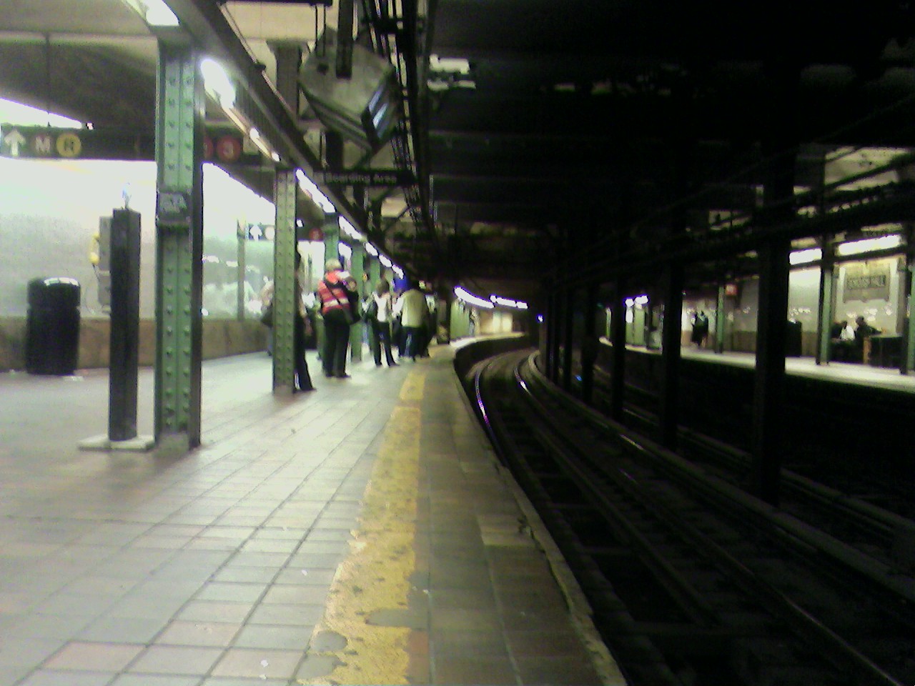
south_service = Eastern far west localBorough Hall on the IRT Broadway–Seventh Avenue Line has two platforms, each on the south (railroad west) side of the tracks. Northbound trains use the upper level and southbound trains the lower, with a
handicapped accessible passageway from both to the northbound side station on theIRT Eastern Parkway Line . On the wall is a largemosaic showing an image of Borough Hall and the words "Borough Hall".IRT Eastern Parkway Line platforms
Infobox NYCS
bg_color = #007527
line = IRT Eastern Parkway Line
accessible=northbound
acc_note= northbound only through IRT Broadway–Seventh Avenue Line platforms
service = Lexington far south
platforms = 2side platform s
tracks = 2
open_date =May 1 ,1908
north_line = IRT Lexington Avenue Line
north_station = Bowling Green
north_service = Lexington far south
south_line = IRT Eastern Parkway Line
south_station = Nevins Street
south_service = Eastern far west expressBorough Hall on the IRT Eastern Parkway Line has two tracks and two side platforms. This was the first underground subway station in
Brooklyn , opened in 1908 as the terminal for the extension of the IRT subway into Brooklyn. It provided easy access to the BRT
The station consists of two platforms, one on each side of the two-track line, and offset by about one-third of their length. Only the northbound side is ADA-compliant, as is the connection to the Borough Hall station on the
In the southeast corner of the mezzanine, a plaque commemorating the subway's arrival in
BMT Fourth Avenue Line platform
Infobox NYCS
bg_color = #FFC800
bg_color_2 = #874F17
line = BMT Fourth Avenue Line
service = Montague
platforms = 1
tracks = 2
open_date =
north_custom_station = NYCS next|type=Broadway|station=Whitehall Street–South Ferry|line=BMT Broadway Line|service=Fourth Broadway
north_custom_station_2 = NYCS next|type=Nassau Street|station=Broad Street|line=BMT Nassau Street Line|service=Fourth Nassau
south_line = BMT Fourth Avenue Line
south_station = Lawrence Street–MetroTech
south_service = Montague
Court Street on the BMT Fourth Avenue Line is a very deep station with two tracks and a single island platform. There is a crossover above the platform level. The western end of this area is serviced by two elevators leading to Clinton Street. At the eastern end, there are banks of escalators leading to Court Street entry, where there is a transfer to the Broadway–Seventh Avenue Line and Eastern Parkway Line platforms.
A close look at the steel I-beams on the platform shows the name "Carnegie", from
urface connections
By 1916, a single-track counterclockwise trolley loop was built around Borough Hall, with both ends at Joralemon Street , and access from westbound Fulton Street to the loop and from the loop to southbound Court Street.Fact|date=March 2007 Passengers on lines that used the loop or lines that used Court Street or Fulton Street could transfer to the subway entrance in the triangle bounded by those two streets and the loop, north of Borough Hall. The lines that used this loop included: [
*
*
*
*
*
*Third Avenue Line to Fort Hamilton
*
Other lines that passed Borough Hall and thus served the station included:;On Court Street
*
*Flatbush Avenue Line to Bergen Beach
*
*
*
*
*Fulton Street Line to Cypress Hills
*
*Myrtle Avenue Line to Ridgewood
*
*Crosstown Line to Erie Basin and Long Island City
*
Effective
The following
*B25 to Fulton Ferry and East New York via Fulton Street
*B37 to Fort Hamilton via Third Avenue
*B38 to Ridgewood via Lafayette Avenue and DeKalb Avenue
*B41 to Marine Park and Bergen Beach via
*B45 to Ocean Hill via Atlantic Avenue and St. Johns Place
*B51 to
*B52 to Ridgewood via Greene Avenue and Gates Avenue
*B57 to Maspeth via Flushing Avenue
*B65 to Ocean Hill via Dean Street and Bergen Street
*B103 to Canarsie via the
References
External links
*nycsubway.org:
** [http://www.nycsubway.org/perl/stations?215:698 Brooklyn IRT: Borough Hall (West Side Branch)]
** [http://www.nycsubway.org/perl/stations?215:3408 Borough Hall (East Side Branch) (Brooklyn IRT)]
*NYCS ref|http://www.nycsubway.org/perl/stations?202:1068|BMT Broadway Subway|Court Street
** [http://nycsubway.org/irt/brookirt/irt-brooklyn-map1.html Brooklyn IRT Contract 2 map] (includes current and former track configurations, and provisions for future connections)
** [http://www.nycsubway.org/lines/irt-brooklyn-map1.html Brooklyn IRT: Map 1, Brooklyn IRT Contract 2 map] (includes current and former track configurations, and provisions for future connections)
*Station Reporter — [http://www.stationreporter.net/borohall.htm Court Street–Borough Hall Complex]
Wikimedia Foundation. 2010.