- Errinundra National Park
Infobox_protected_area_of_Australia | name = Errinundra National Park
iucn_category = II
caption =
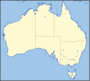
locator_x = 242
locator_y = 196
nearest_town_or_city = Cann River
coordinates = coord|37|17|09|S|148|53|41|E|type:landmark_region:AU
area = 268.75 km²
established = 1988
visitation_num =
visitation_year =
managing_authorities = Parks Victoria
official_site = [http://www.parkweb.vic.gov.au/1park_display.cfm?park=104 Errinundra National Park]Errinundra is a national park in Victoria,
Australia , 352 km east of Melbourne. Errinundra National Park is centred on theErrinundra Plateau , a southwards extension of the Monaro Tablelands of New South Wales. The Errinundra National Park preserves the largest remaining cool temperaterainforest in Victoria and supports some of South Eastern Australia's most spectacularold growth forest s. There are also many rare and threatened species of flora and fauna, includingPowerful Owl s,Tiger Quoll s andLong-footed Potoroo s.Cool and Warm Temperate Rainforest, Wet Open Forest, Montane Forests and Woodlands are the dominant vegetation communities. There is also a sub-alpine wetland.
The majority of the park is accessible only in the drier months. In winter, rain and snow generally make the unsealed roads impassable.
There has been extensive logging of all forest types surrounding the park and there have been some instances of logging within the National Park's boundaries due to administrative errors. In addition logging occurred in many areas before the National Park was established.
ee also
*
Protected areas of Victoria External links
* [http://www.parkweb.vic.gov.au/1park_display.cfm?park=104 Parks Victoria - Errinundra National Park]
* [http://www.geco.org.au Goongerah Environment Centre]

Wikimedia Foundation. 2010.