- Cunnawarra National Park
-
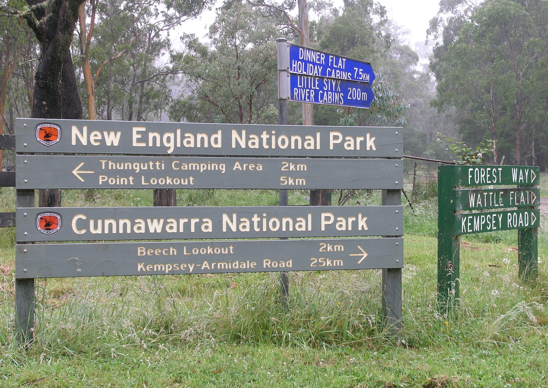
Cunnawarra National Park IUCN Category II (National Park)Cunnawarra National Park entrance
Coordinates 30°37′29″S 152°13′02″E / 30.62472°S 152.21722°ECoordinates: 30°37′29″S 152°13′02″E / 30.62472°S 152.21722°E Area 158 km2 (61.0 sq mi) Established 1 January 1999 Managing authorities National Parks and Wildlife Service NSW Cunnawarra is a national park in New South Wales, Australia, 80 km east of Armidale, 10 km off the Waterfall Way and 565 km north of Sydney. The 25 kilometre Styx River Forest Way runs from the Point Lookout Road through Cunnawarra National Park to the Kempsey Road. The New England National Park adjoins the Cunnawarra National Park on the north-eastern boundary and the Oxley Wild Rivers National Park joins it on the southern corner.[1]
The Park is part of the New England Group of the World Heritage Site Gondwana Rainforests of Australia inscribed in 1986 and added to the Australian National Heritage List in 2007.
See also
References
- ^ National Parks of the Waterfall Way, NSW NPWS, 2002
Categories:- IUCN Category II
- National parks of New South Wales
- Northern Tablelands, New South Wales
- Protected areas established in 1999
- Gondwana Rainforests of Australia
- 1999 establishments in Australia
- New South Wales protected area stubs
Wikimedia Foundation. 2010.