- New Jersey Route 32
-
This article is about the current New Jersey Route 32. For the former Route 32, see New Jersey Route 32 (pre-1953).
Route 32
Forsgate Drive 
Route information Maintained by NJDOT Length: 1.18 mi[1] (1.90 km) Existed: 1964 (on current routing) – present Major junctions West end:  US 130 in South Brunswick Township
 CR 535 in South Brunswick Township
East end: 

 I-95 / CR 612 / NJ Turnpike in Monroe Township
Highway system New Jersey State Highway Routes
Interstate and US←  Route 31
Route 33  →
→Route 32 is an arterial state highway in Middlesex County, New Jersey, United States. The route is an 1.18 miles (1.90 km) long highway along Forsgate Drive that connects U.S. Route 130 in South Brunswick Township and the New Jersey Turnpike (Interstate 95) at Exit 8A in Monroe Township. Despite the short length, it is an important arterary that connects not only traffic between the Turnpike and Route 130, but traffic to County Route 535. The right-of-way on Forsgate continues eastward as Middlesex County Route 612. Route 32 was first designated in 1964 along Forsgate Drive and was proposed to become part of New Jersey Route 92 along its entire alignment.
Contents
Route description
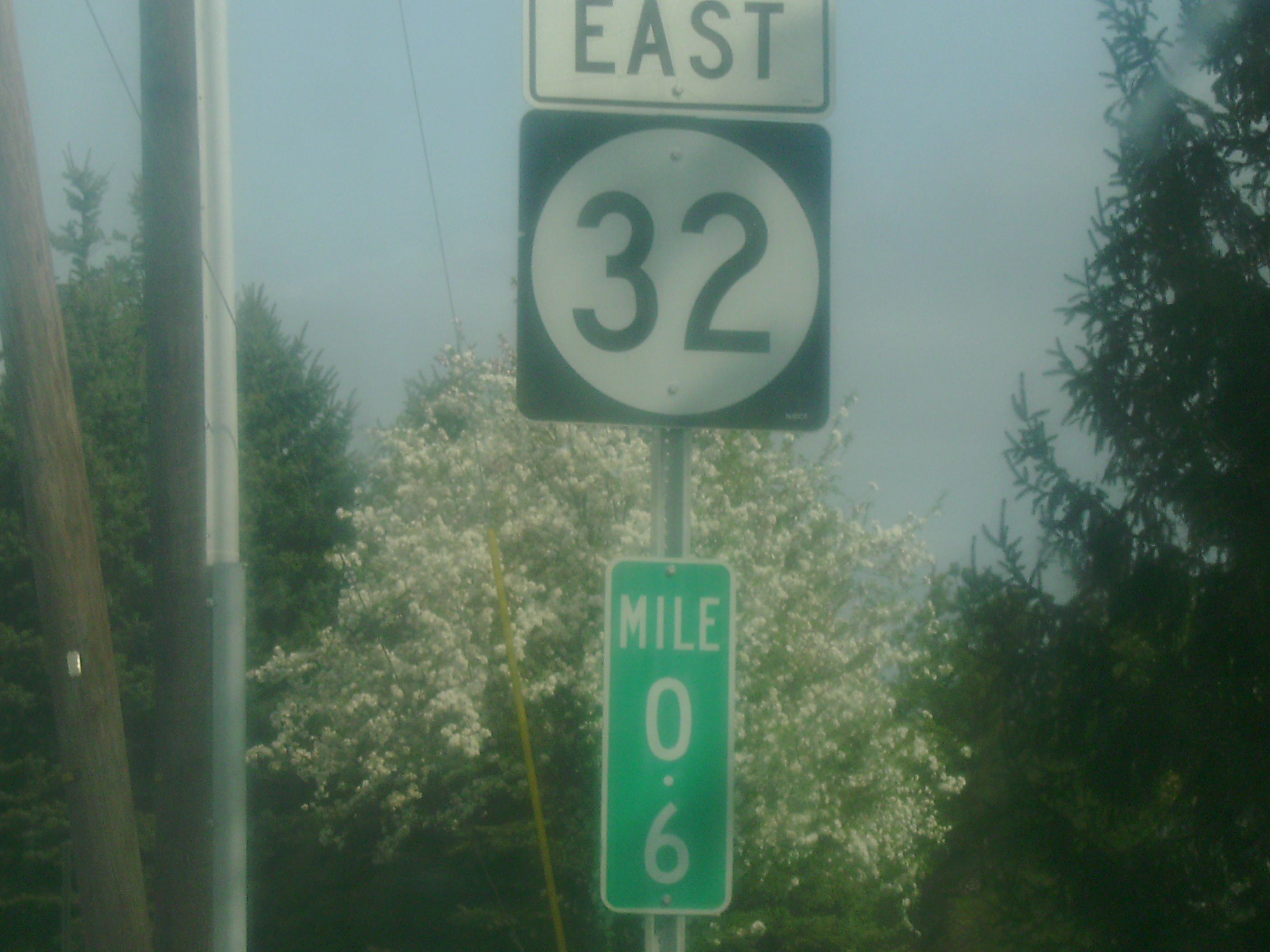
 Shield on NJ 32 with a rare 1/10 mile marker depicting .6 of a mile
Route 32 begins at a partial interchange with U.S. Route 130 in South Brunswick Township. The route heads eastward, running along access ramps from Route 130 and the local park and ride. Heading onto the mainline Route 32, the highway receives the moniker of Forsgate Drive. Intersecting with a U-turn ramp from the westbound lanes, the highway serves the area as a four-lane industrial arterial. Route 32 heads further east, passing through industrial areas and local commercial headquarters. A short distance later, the highway intersects with Herrod Drive and Commerce Drive, both of which serve the local industry. Forsgate Drive continues eastward as the arterial, intersecting with County Route 535 (Cranbury-South River Road). From here, Route 32 enters Monroe Township and begins serving Interchange 8A on the New Jersey Turnpike. A partial trumpet interchange, Interchange 8A serves access to County Route 535 (for drivers heading to Route 32 westbound) and Route 32 eastbound.[2] After serving another local industry, Route 32 crosses over the four-sectioned mainline of the Turnpike, where the designation ends.[1]
History
 Route 92's proposed alignment and Route 32 is the easternmost portion
The alignment of Route 32 was first designated in 1964, when the state took over jurisdiction of a highway from U.S. Route 130 in South Brunswick, eastward along Forsgate Drive to the intersection with County Route 522 and County Route 535 in Monroe Township.[3] Exit 8A originally had an exit ramp from the tollgate to Route 32 west. However, this was changed due to heavy congestion at the ramp. The turnpike ramp to Route 32 westbound was destroyed. In its place, a new, two-lane ramp to County Route 535 was built. Motorists must now take CR 535 south to access NJ 32 westbound.[4]
Route 32's alignment from Route 130 to the Turnpike was also designated to become an alignment of New Jersey Route 92, a tolled extension of the New Jersey Turnpike. Route 32 and nearby Friendship Road were to be supplanted by Route 92, using Exit 8A on the turnpike for the eastern terminus.[5] However, after years of struggle to get the toll route built, the New Jersey Turnpike Authority canceled the Route 92 project on December 1, 2006.[6]
Future
Due to congestion from Interchange 8A of the turnpike, the Turnpike Authority is proposing a project to improve traffic congestion along Route 32 called the "Interchange 8A to Route 130 Connection." The project would start from US 130 in South Brunswick and end at Interchange 8A in Monroe. Plans and dates have yet to be determined.[7]
Major intersections
The entire route is in Middlesex County.
Location Mile[1] Destinations Notes South Brunswick Township 0.00 US 130Western terminus of Route 32. 0.90 CR 535 (Cranbury-South River Road)Monroe Township 1.07 I-95 / NJ TurnpikeInterchange 8A of NJTP 1.18 CR 612Eastern terminus of Route 32. Western terminus of County Route 612 1.000 mi = 1.609 km; 1.000 km = 0.621 mi See also
 U.S. Roads portal
 New Jersey portal
References
- ^ a b c "Route 32 Straight Line Diagrams". Ewing, New Jersey: New Jersey Department of Transportation. 2009. pp. 1. http://www.state.nj.us/transportation/refdata/sldiag/00000032__-.pdf. Retrieved 30 December 2009.
- ^ Bing Maps (2009). Overview map of New Jersey Route 32 (Map). Cartography by NAVTEQ. http://www.maps.bing.com/maps/?FORM=Z9LH4#JmNwPTQwLjM0NjQ1MTE3ODE5MzF+LTc0LjQ4NjkzOTkwNzA3Mzk3Jmx2bD0xNSZzdHk9ciZydHA9cG9zLjQwLjM0NTk1MzYyODQyMDgzXy03NC40OTgxOTA0MzI3ODY5NF9uZWFyJTIwU3RyZWV0JTJDJTIwQ3JhbmJ1cnklMkMlMjBOZXclMjBKZXJzZXklMjAwODUxMiUyQyUyMFVuaXRlZCUyMFN0YXRlc19fX2FffnBvcy40MC4zNDQ2MTE4NTMzNjExM18tNzQuNDc1Njg5MzgxMzYxMDFfX19fYV8mcnRvcD0wfjB+MH4=. Retrieved November 21, 2009.
- ^ ROUTE NO. . Beginning in the township of South Brunswick, in the county of Middlesex, at a point on Route 130 and extending in a general northeasterly direction to a point in the township of Monroe in the county aforesaid, near the intersection of Middlesex County Routes 522 and 535. L.1964, c. 121, s. 1.
- ^ "Interstate 95 Straight Line Diagrams". Ewing, New Jersey: New Jersey Department of Transportation. 2009. pp. 11. http://www.state.nj.us/transportation/refdata/sldiag/00000095__-.pdf. Retrieved 30 December 2009.
- ^ Public Hearing for Proposed Route 92 Freeway. New Jersey State Legislature. December 17, 1991.
- ^ "Route 92-turnpike connection project off the table -- for now: Official says expansion of turnpike between Exits 6 and 9 is the top priority". Daily Record (Morristown, New Jersey: Gannett Newspapers). December 2, 2006.
- ^ "Local CMAQ Mobility Initiatives – Shared Ride Program". Woodbridge, New Jersey: New Jersey Turnpike Authority. January 8, 2009. http://www.njtpa.org/Project/Mobility/CMAQ/documents/LocalCMAQMobilityInitiatives.pdf. Retrieved 26 September 2010.
External links
Categories:- Transportation in Middlesex County, New Jersey
- State highways in New Jersey


Wikimedia Foundation. 2010.