Nullarbor, South Australia

Nullarbor, South Australia
Nullarbor
South Australia
Nullabor sign wp.JPG
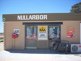
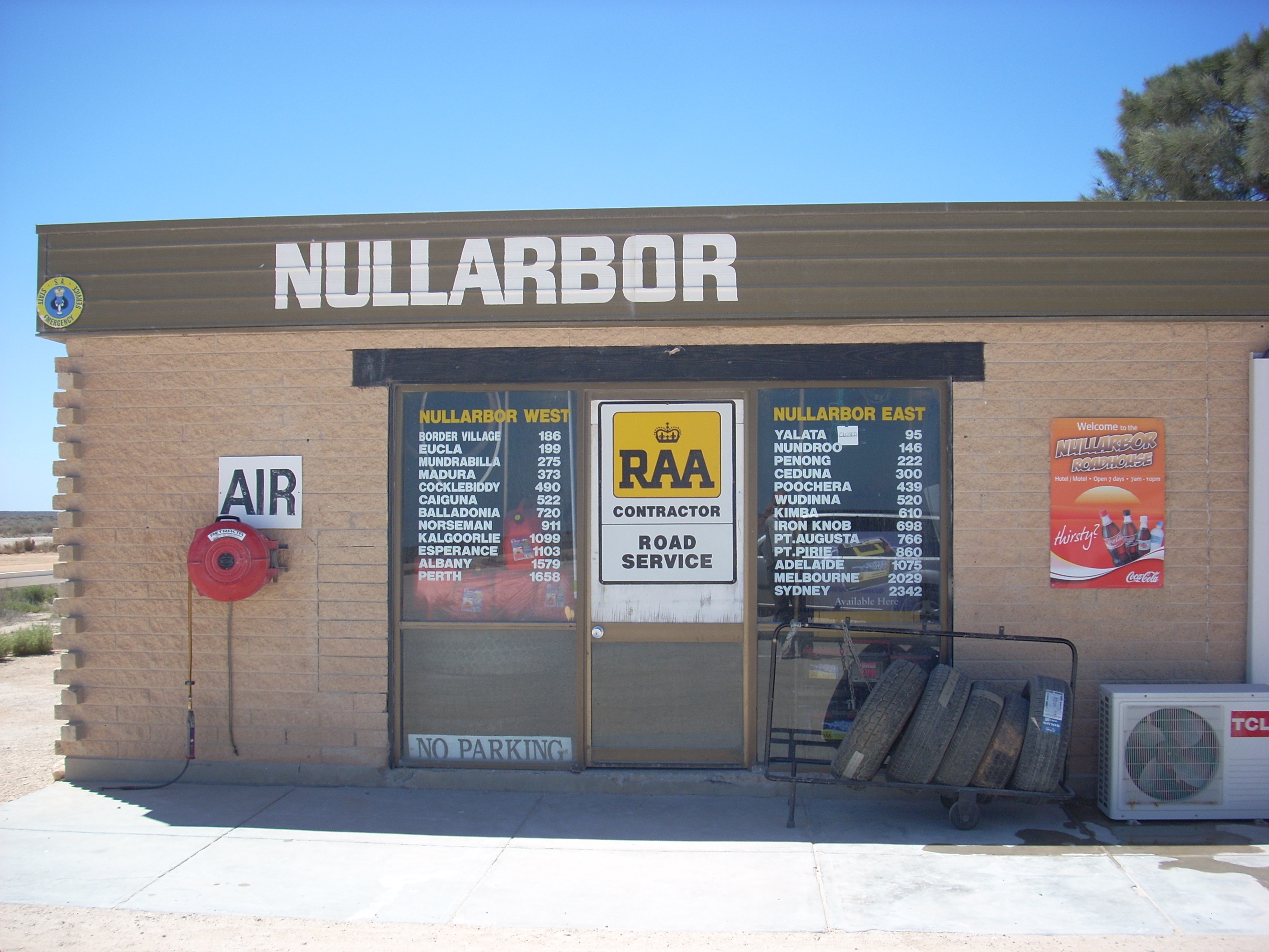
The Nullarbor Roadhouse
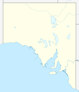
Nullarbor is located in South Australia
{{{alt}}}
Nullarbor
Postcode: 5690
Coordinates: 31°26′57″S 130°53′51″E / 31.44917°S 130.8975°E / -31.44917; 130.8975Coordinates: 31°26′57″S 130°53′51″E / 31.44917°S 130.8975°E / -31.44917; 130.8975
Time zone:

 • Summer (DST)

ACST (UTC+9:30)

ACDT (UTC+10:30)

Location:
  • 764 km (475 mi) W of Adelaide
  • 1617 km (1,005 mi) E of Perth
LGA: District Council of Ceduna
State District: Flinders
Federal Division: Grey

Nullarbor (also known as Nullarbor Roadhouse) is a locality and roadhouse along the Eyre Highway in South Australia. Its name is taken from the surrounding Nullarbor Plain.[1]

Notes

  1. ^ "Nullarbor". Sydney Morning Herald. 2004-02-08. http://www.smh.com.au/news/South-Australia/Nullarbor/2005/02/17/1108500204526.html. Retrieved 2010-07-14. 


Wikimedia Foundation. 2010.

Игры ⚽ Нужно решить контрольную?

Look at other dictionaries:

  • South Australia — South Australian. a state in S Australia. 1,285,033; 380,070 sq. mi. (984,380 sq. km). Cap.: Adelaide. * * * State (pop., 2001: 1,514,854), south central Australia. It covers an area of 379,720 sq mi (983,470 sq km), and its capital is Adelaide.… …   Universalium

  • South Australia — For the song, see South Australia (song). Coordinates: 30°0′S 135°0′E / 30°S 135°E / 30; 135 …   Wikipedia

  • Nundroo, South Australia — Nundroo South Australia …   Wikipedia

  • Cook, South Australia — Cook South Australia A disused building in Cook …   Wikipedia

  • Ooldea, South Australia — Coordinates: 30°27′S 131°50′E / 30.45°S 131.833°E / 30.45; 131.833 …   Wikipedia

  • Penong, South Australia — Infobox Australian Place | type = town name = Penong state = sa caption = Windmills around Penong Photographed by [http://www.flickr.com/people/ccdoh1/ Cain Doherty] lga = Outback Areas Community Development Trust postcode = 5690 pop = 215 pop… …   Wikipedia

  • Portal:South Australia — Wikipedia portals: Culture Geography Health History Mathematics Natural sciences People Philosophy Religion Society Technology …   Wikipedia

  • Ooldea (South Australia) — DMS …   Deutsch Wikipedia

  • Yalata, South Australia — Infobox Australian Place | type = town name = Yalata state = sa caption = Location of Yalata (red) on the Eyre Highway in South Australia lga = Aboriginal Council of Yalata, Ceduna DC postcode = pop = 100 [… …   Wikipedia

  • Haslam, South Australia — Infobox Australian Place | type = town name = Haslam state = sa caption = lga = District Council of Streaky Bay postcode = 5680 est = 1893 pop = 50 elevation= 1 maxtemp = mintemp = rainfall = stategov = Flinders fedgov = Grey dist1 = 45 dir1 =… …   Wikipedia

Share the article and excerpts

Direct link
Do a right-click on the link above
and select “Copy Link”