- East Hempfield Township, Pennsylvania
Infobox Settlement
official_name = East Hempfield Township,
Lancaster County, Pennsylvania
other_name =
native_name =
nickname =
settlement_type = Township
motto =
imagesize =
image_caption =
flag_size =
image_
seal_size =
image_shield =
shield_size =
image_blank_emblem =
blank_emblem_size =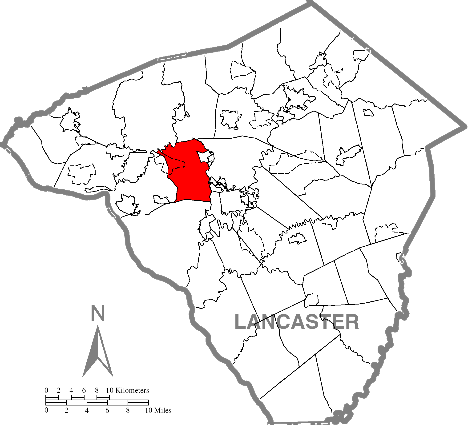
mapsize =
map_caption = Map of Lancaster County highlighting East Hempfield Township
mapsize1 =
map_caption1 =
image_dot_
dot_mapsize =
dot_map_caption =
dot_x =
dot_y =
pushpin_
pushpin_label_position =
pushpin_map_caption =
pushpin_mapsize =
subdivision_type = Country
subdivision_name =
subdivision_type1 = State
subdivision_name1 =
subdivision_type2 = County
subdivision_name2 = Lancaster
subdivision_type3 =
subdivision_name3 =
subdivision_type4 =
subdivision_name4 =
government_footnotes =
government_type =
leader_title =
leader_name =
leader_title1 =
leader_name1 =
leader_title2 =
leader_name2 =
leader_title3 =
leader_name3 =
leader_title4 =
leader_name4 =
established_title = Settled
established_date = 1717
established_title2 = Incorporated
established_date2 = 1818
area_magnitude =
unit_pref =
unit_pref = Imperial
area_footnotes =area_total_km2 =
area_land_km2 =
area_water_km2 =
area_total_sq_mi =
area_land_sq_mi =
area_water_sq_mi =
area_water_percent =
area_urban_km2 =
area_urban_sq_mi =
area_metro_km2 =
area_metro_sq_mi =
area_blank1_title =
area_blank1_km2 =
area_blank1_sq_mi =
population_as_of = 2000
population_footnotes =
population_note =
population_total = 21,399
population_density_km2 =
population_density_sq_mi =
population_metro =
population_density_metro_km2 =
population_density_metro_sq_mi =
population_urban =
population_density_urban_km2 =
population_density_urban_sq_mi =
population_blank1_title =
population_blank1 =
population_density_blank1_km2 =
population_density_blank1_sq_mi =
timezone = Eastern (EST)
utc_offset = -5
timezone_DST = EDT
utc_offset_DST = -4
latd = |latm = |lats = |latNS = N
longd = |longm = |longs = |longEW = W
elevation_footnotes =
elevation_m =
elevation_ft =
postal_code_type =
postal_code =
area_code = 717
blank_name =
blank_info =
blank1_name =
blank1_info =
website = [http://www.easthempfield.org easthempfield.org]
footnotes =East Hempfield Township is a township in west-central Lancaster County,
Pennsylvania ,United States . At the 2000 census the population was 21,399.East Hempfield is one of the six immediate
suburb s of the city of Lancaster, all sharing the same official designation as Lancaster, Pennsylvania by theUnited States Postal Service . [cite web | title=Lancaster's suburbs | work=Google | url= http://books.google.com/books?id=f891HxR6y9MC&pg=PA225&lpg=PA225&dq=east+hempfield+township+suburb+of+lancaster&source=web&ots=9d7xV6ASFc&sig=radVQZ8hHgzU3qf4xbuzZOTkIog&hl=en | accessmonthday=March 18 | accessyear=2008]Geography
According to the
U.S. Census Bureau , the township has a total area of 21.1square mile s (54.8km² ), all of it land.Demographics
As of the
census GR|2 of 2000, there were 21,399 people, 8,552 households, and 6,054 families residing in the township. Thepopulation density was 1,011.6 people per square mile (390.6/km²). There were 8,761 housing units at an average density of 414.2/sq mi (159.9/km²). The racial makeup of the township was 93.45% White, 1.51% Black or African American, 0.11% Native American, 2.56% Asian, 1.51% from other races, and 0.86% from two or more races. 2.78% of the population were Hispanic or Latino of any race.There were 8,552 households out of which 30.9% had children under the age of 18 living with them, 62.0% were married couples living together, 6.3% had a female householder with no husband present, and 29.2% were non-families. 24.1% of all households were made up of individuals and 9.5% had someone living alone who was 65 years of age or older. The average household size was 2.47 and the average family size was 2.96.
In the township the population was spread out with 23.9% under the age of 18, 6.7% from 18 to 24, 27.4% from 25 to 44, 26.7% from 45 to 64, and 15.4% who were 65 years of age or older. The median age was 41 years. For every 100 females there were 96.2 males. For every 100 females age 18 and over, there were 93.6 males.
The median income for a household in the township was $54,431, and the median income for a family was $68,965. Males had a median income of $43,958 versus $29,496 for females. The
per capita income for the township was $28,192. About 1.8% of families and 3.9% of the population were below thepoverty line , including 4.1% of those under age 18 and 5.1% of those age 65 or over.Notable residents
*
Tom Herr , a formerMajor League Baseball player and former manager of the localLancaster Barnstormers . Herr is currently employed with theWashington Nationals single A affiliateHagerstown Suns .*
Aaron Herr , the oldest son of Tom Herr, currently signed with theLouisville Bats of theInternational League . Aaron played briefly with the Lancaster Barnstormers in 2005, and later joined theSpringfield Cardinals of theTexas League .* Jordan Herr, the youngest son of Tom Herr, signed with the Barnstormers in lieu of finishing his senior year at the
University of Pittsburgh .Points of interest
* Amos Herr House & Park, an old farmhouse built in 1852 and donated by Amos Herr upon death. The house now serves as the East Hempfield Township municipal building.
* Dutch Apple Dinner Theater, an amateur dinner theater.
*
Park City Center , largest enclosedshopping mall inSouth Central Pennsylvania .Local Businesses
References
External links
* [http://www.easthempfield.org East Hempfield Township]
* [http://www.hempfieldsd.org Hempfield School District]
Wikimedia Foundation. 2010.