- Moulton, Northamptonshire
-
Coordinates: 52°17′21″N 0°50′57″W / 52.28922°N 0.84907°W
Moulton 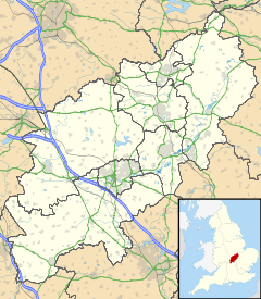
 Moulton
Moulton shown within NorthamptonshirePopulation 3,388 (2001 Census) OS grid reference SP784663 Parish Moulton District Daventry district Shire county Northamptonshire Region East Midlands Country England Sovereign state United Kingdom Post town NORTHAMPTON Postcode district NN3 Dialling code 01604 Police Northamptonshire Fire Northamptonshire Ambulance East Midlands EU Parliament East Midlands UK Parliament Daventry List of places: UK • England • Northamptonshire Moulton is a large village in the Daventry district of the county of Northamptonshire in England.
Contents
Education
There is one major school in Moulton which serves other surrounding small villages in the area.
Moulton is home to Moulton College, an agricultural and trade orientated college.
Notable residents
James Doxie (Docsey), aged 39 in 1576, was Vicar of Moulton, inducted 11/25/1565 to 1597. He married on 7/4/1568 at Moulton to Isabell Coles, and they had three children: Francis Doxie, James Doxie of Moulton (Church Warden in 1615), and Alice. Church Warden James Doxie of Moulton's first son with Margaret, Thomas Doxie,(christened 10/12/1611 at Moulton, Northampton), was a shipmaster/sailor and immigrated to New England in 1650.
The village was the 18th-century home of William Carey. The church where he ministered, and the cottage in which he lived, are located at the west end of West Street. The village also has links with John Jeyes (of Jeyes Fluid fame) as Holly Lodge is found on the road from Moulton to Boughton (a building associated with the family). Holly Lodge has the 'Implement gate' (c 1955), which is iconic of the rural beginnings of Moulton.
Amenities
The stone-built Gothicky Methodist Chapel of 1835 with arched windows is next to the old school of 1878, now used by the Moulton Theatre.
Moulton hosts an annual village festival (held in May) and is home to the Moulton Morris Dancers. The Moulton Sports Complex is also home to the Village Hall and is the current site of the Northampton Saints Hockey Club,
The centre of Moulton houses the parish church and some shops and a post office. The local Co-op store was run by the Moulton Co-operative Society, an independent society and one of Britain's smallest until its merger with Midlands Co-operative Society in 2009.
Moulton is home to a number of pubs including The White Lion, The Cardigan Arms, The Telegraph, The Artichoke, a working men's club, and just past Moulton Leys heading towards town there is the Lumbertubs pub. Moulton also contains, on its fringe, the Northampton Fire and Rescue Service Headquarters.
Geology
The geology of Moulton is based on sedimentary rocks known as Oolite. Cornbrash, Inferior and Great Oolite rocks have dictated that the soils of Moulton are predominantly sands and clays, but small quantities of ironstone may be found.[1] This ironstone was used extensively for construction of buildings in and outside of Moulton. Moulton's elevation lies at 400-600ft above sea level and the nature of the soil means that it is relatively free of flooding and drains well without becoming too dry. The alluvial nature of the soil means that it is fertile and can be used to grow a wide range of plants.
Geography
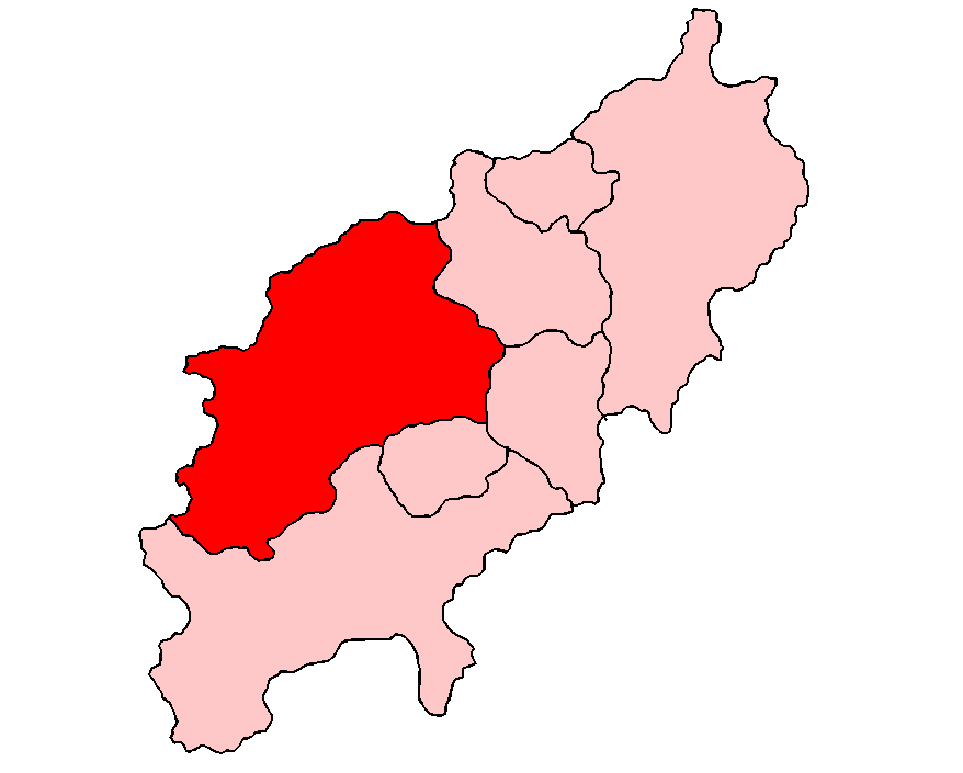
Moulton has a population of over 3,000. It is situated about 4 miles (6 km) north of central Northampton. Moulton has been affected by the expansion of Northampton yet retains a village identity. It is thought that the village has its origins in Saxon times, although the main features of the present church are Norman or later. Moulton is a village of narrow winding lanes, lined by stone-built cottages and houses, nowadays with traffic calming and one-way systems. In the area of Moulton Leys in the south, Kettering Road (A43) takes residents from Moulton to Northampton town centre.
The boundaries of Moulton extend from Pitsford reservoir in the north to Moulton Lane in the south. In the east, the A43 (Kettering Road) is the border, with a small quantity of land that adjoins the east side of the A43 near Ashley Lane. The western fringe corresponds with all land east of Spectacle Lane.
The topography of Moulton is generally flat, but the gradient of land runs from a higher southern elevation in towards lower parts, in the village centre, and then elevates again in a northern direction. At the northern boundary the lower elevations of the reservoir are separated from the village by a strip of high ground.
In the village centre, a tributary of the Nene river flows from the east of the village in a westerly direction where it joins the Nene near Chapel Brampton. Medieval fish ponds in the village were fed from this tributary.
Crowfields Meadow is part of Moulton village and boasts a range of wildlife and plants. Boughton Lane Pocket Park on the Southern end of Moulton is another source of animal and plant biodiversity.
References
- ^ Martin, R.A. & Osborn, G. 1976. An Outline of the Geology of Northamptonshire, Northamptonshire Natural History Society and Field Club.
External links
- Parish Council
- Moulton Focus
- Moulton High School
- Moulton Primary School
- King's Meadow School
- Moulton Sports Complex
- Moulton 77 Brass Band
- J Gallery
- Moulton Magpies
- Northampton Saints Hockey
- Childfirst Nursery School
- Northampton Fire and Rescue
- Moulton Parish Church
- Carey Baptist Church, Moulton
Categories:- Villages in Northamptonshire

Wikimedia Foundation. 2010.