- Kangaroo Island Council
Infobox Australian Place | type = lga
name = Kangaroo Island Council
state = sa
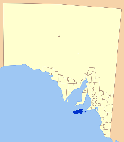
caption = Location of Kangaroo Island Council
pop = 4,384 (2001 census)
density =
area = 4400.1
est = 1996
seat = Kingscote
mayor = Jayne Bates
region =Kangaroo Island

url = http://www.kangarooisland.sa.gov.au
stategov = Finniss
fedgov = Barker
near-nw =
near-n =
near-ne =
near-e =
near-w =
near-sw =
near-s =
near-se = The Kangaroo Island Council is a local government area ofSouth Australia that covers the entirety ofKangaroo Island , 13 km off thecoast of the mainland. Thecouncil was formed in 1996 by the amalgamation of two previous councils - the District Council of Kingscote and the District Council of Dudley. [Citation
last = Kangaroo Island council
first =
author-link =
last2 =
first2 =
author2-link =
title = Council formation
date =
year =
url = http://www.kangarooisland.sa.gov.au/site/page.cfm?u=279
access date = 2007-04-27 ]The seat of the council is located in the island's largest town, Kingscote. The
population of the entire district was 4384 at the time of the2001 census . [Census 2001 AUS|id=LGA42750|name=Kangaroo Island (DC) (Local Government Area)|accessdate=2007-06-30]Localities
The largest town on Kangaroo Island is Kingscote, with Penneshaw, American River and Parndana being the other recognised townships. There are settlements at
Baudin Beach, South Australia , Island Beach, Nepean Bay and Vivonne Bay.Economy
The district's
economy is based aroundagriculture , withgrazing ,crops ,viticulture andforestry prevalent.Fishing , and more recently,aquaculture has been established as an economic viability on the island.Tourism is also a major part of the economy, with tourists coming to the island for the unspoilt natural beauty and its history.Elected members
Mayor : Jayne BatesCEO : Carmel NoonCouncillors :
*Malcolm Boxall
*Graeme Connell
*Rebecca Davis
*Susan de Rohan
*Trevor Draysey
*Mark Morris
*Milton Turner
*Craig Wickham (Deputy Mayor)
*Joy WillsonReferences
External links
* [http://www.kangarooisland.sa.gov.au Council Website]
* [http://www.tourkangarooisland.com.au Tourism Site]
Wikimedia Foundation. 2010.