- Grainger County, Tennessee
Infobox U.S. County
county = Grainger County
state = Tennessee
seallink =
founded = 1796
seat = Rutledge
largest city = Bean Station
area_total_sq_mi = 302
area_total_km2 = 783
area_land_sq_mi = 280
area_land_km2 = 726
area_water_sq_mi = 22
area_water_km2 = 57
area percentage = 7.31%
census yr = 2000
pop = 20659
density_sq_mi = 74
density_km2 = 28
time zone = Eastern
UTC offset = -5
DST offset= -4
footnotes =
web =
ex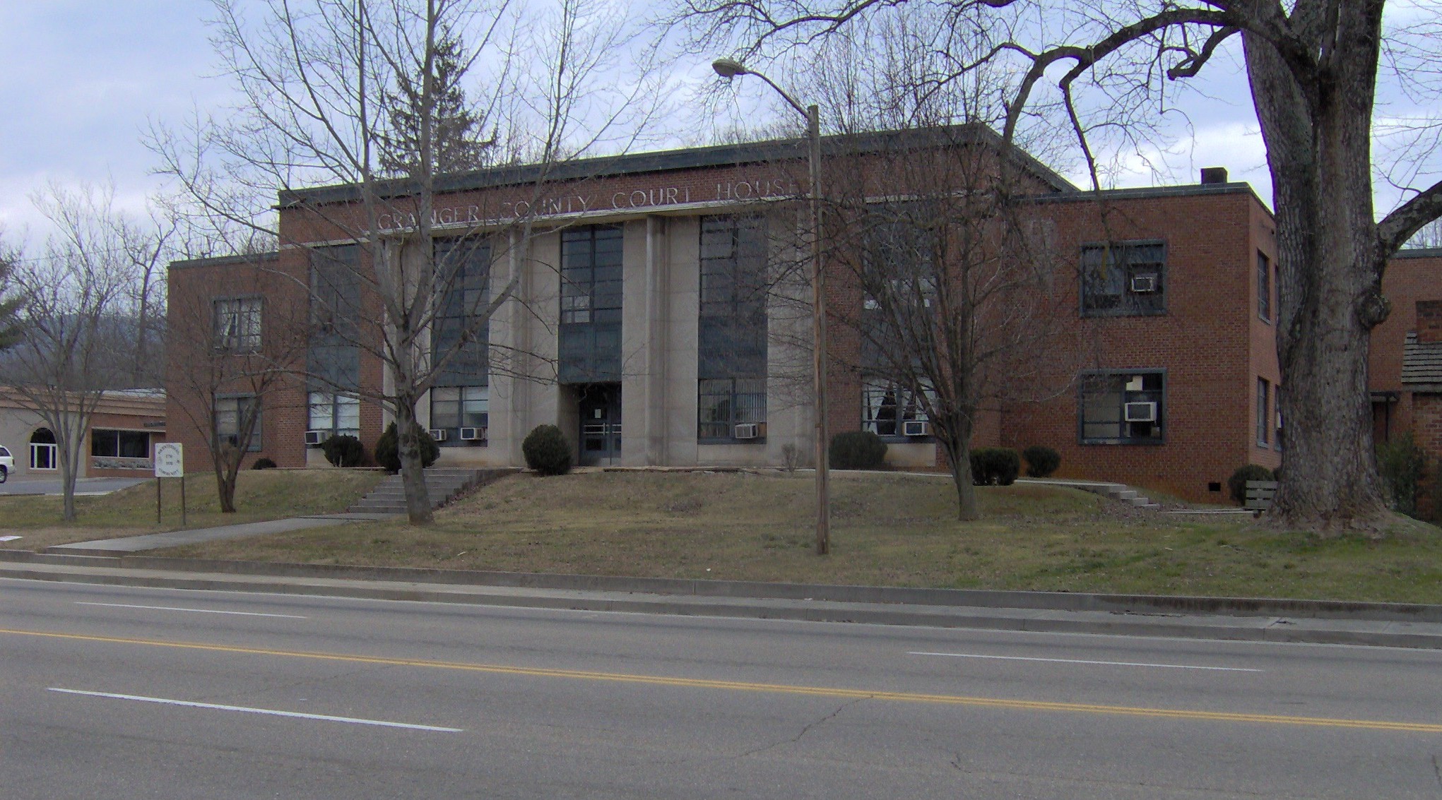
ex image cGrainger County is a
county located in theU.S. state ofTennessee renowned for itstomatoes . Together with Hamblen and Jefferson counties, it is part of theMorristown, Tennessee , Metropolitan Statistical Area which is, as of December 2005, considered a component of the Knoxville-Sevierville-La Follette, TNCombined Statistical Area . [http://www.whitehouse.gov/omb/bulletins/fy2006/b06-01_rev_2.pdf] As of 2000, the population was 20,659. The 2005 Census Estimate placed the population at 22,283 [http://www.census.gov/popest/counties/tables/CO-EST2005-01-47.xls] . Itscounty seat is RutledgeGR|6.Geography
Grainger County is bounded on the northwest by the
Clinch River (impounded byNorris Dam to form Norris Lake) and on the southeast by theHolston River (includingCherokee Lake ). According to the U.S. Census Bureau, the county has a total area of 302square mile s (783km² ), of which, 280 square miles (726 km²) of it is land and 22 square miles (57 km²) of it (7.31%) is water.Clinch Mountain is a major geographic feature that effectively separates the county into a southern section (including Rutledge) and a northern section (including Washburn).Adjacent counties
*Hancock County and Hawkins County (northeast)
*Hamblen County (east)
*Jefferson County (south)
*Knox County (southwest)
*Union County (west)
*Claiborne County (northwest)Demographics
As of the
census GR|2 of 2000, there were 20,659 people, 8,270 households, and 6,161 families residing in the county. Thepopulation density was 74 people per square mile (28/km²). There were 9,732 housing units at an average density of 35 per square mile (13/km²). The racial makeup of the county was 98.41% White, 0.32% Black or African American, 0.15% Native American, 0.09% Asian, 0.02% Pacific Islander, 0.40% from other races, and 0.61% from two or more races. 1.09% of the population were Hispanic or Latino of any race.There were 8,270 households out of which 31.40% had children under the age of 18 living with them, 61.90% were married couples living together, 8.80% had a female householder with no husband present, and 25.50% were non-families. 22.50% of all households were made up of individuals and 9.10% had someone living alone who was 65 years of age or older. The average household size was 2.48 and the average family size was 2.89.
In the county, the population was spread out with 22.90% under the age of 18, 8.20% from 18 to 24, 30.50% from 25 to 44, 25.80% from 45 to 64, and 12.50% who were 65 years of age or older. The median age was 38 years. For every 100 females there were 99.00 males. For every 100 females age 18 and over, there were 96.50 males.
The median income for a household in the county was $27,997, and the median income for a family was $33,347. Males had a median income of $25,781 versus $19,410 for females. The
per capita income for the county was $14,505. About 15.10% of families and 18.70% of the population were below thepoverty line , including 22.40% of those under age 18 and 26.00% of those age 65 or over.Cities and towns
*Bean Station
*Blaine
*Liberty Hill (unincorporated)
*Powder Springs (unincorporated)
*Rutledge
*Tater Valley (unincorporated)
*Thorn Hill (unincorporated)
*Washburn (unincorporated)References
External links
*dmoz|Regional/North_America/United_States/Tennessee/Counties/Grainger/|Grainger County

Wikimedia Foundation. 2010.