Zschopau — Infobox German Location Art = Stadt image photo = Zschopau 17 Jh.jpg image caption = Zschopau in 1617 Wappen = Wappen Zschopau.png lat deg = 50 |lat min = 45 | lat sec=0 lon deg = 13 |lon min = 04 | lon sec=0 Lageplan = Bundesland = Sachsen… … Wikipedia
Dresden–Werdau railway — Dresden Hbf–Werdau Bogendreieck junction Route number: 510, 510.3 Line number: 6258; 6257 Line length: 136.304 Gauge: 1435 Voltage … Wikipedia
Mittweida (district) — Mittweida District Country … Wikipedia
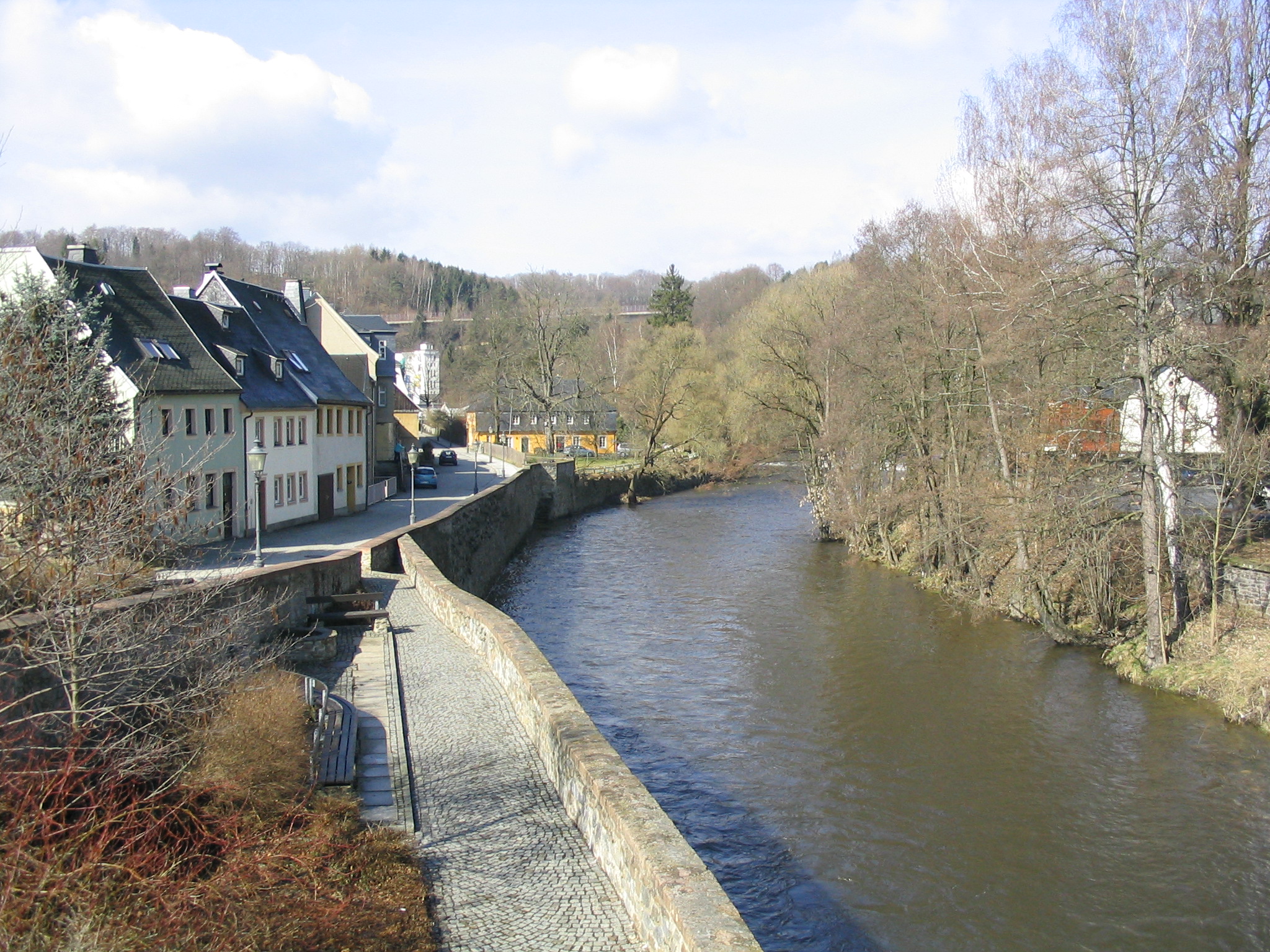
Чопау (река) — Чопау нем. Zschopau река в городе Чопау … Википедия
Mittweida — Mittweida … Wikipedia
Flöha — Infobox Ort in Deutschland Art = Stadt image photo = Wappen = Wappen Floeha.png lat deg = 50 |lat min = 51 |lat sec = 21 lon deg = 13 |lon min = 4 |lon sec = 17 Lageplan = Bundesland = Sachsen Regierungsbezirk = Chemnitz Landkreis = Mittelsachsen … Wikipedia
Waldheim, Saxony — Infobox Ort in Deutschland Name = Waldheim Art = Stadt image photo = Wappen = Wappen Waldheim.png lat deg = 51 |lat min = 4 |lat sec = 0 lon deg = 13 |lon min = 1 |lon sec = 0 Lageplan = Bundesland = Sachsen Regierungsbezirk = Chemnitz Landkreis … Wikipedia
Wolkenstein — Infobox Ort in Deutschland Art = Stadt Name = Wolkenstein image photo = Wappen = Wappen Wolkenstein.svg lat deg = 50 |lat min = 39 |lat sec = 16 lon deg = 13 |lon min = 4 |lon sec = 29 Lageplan = Bundesland = Sachsen Regierungsbezirk = Chemnitz… … Wikipedia
Riesa–Chemnitz railway — Riesa–Döbeln–Chemnitz Route number: 520 Line number: 6265 Line length: 66.03 Gauge: 1435 Voltage: 15 kV … Wikipedia
List of rivers of Germany — This is a list of rivers, which are at least partially located in Germany. Rivers that flow into the sea are sorted geographically, along the coast. Rivers that flow into other rivers are sorted by the proximity of their points of confluence to… … Wikipedia

