- Olst
-
Olst 
Coat of armsCoordinates: 52°20′16″N 6°6′39″E / 52.33778°N 6.11083°E Country Netherlands Province Overijssel Municipality Olst-Wijhe Population (2004) 4,726 Olst is a village in the Dutch province of Overijssel. It is located in the municipality of Olst-Wijhe, about 7 km north of Deventer.
Until 2002, Olst was the seat of the municipality of the same name. The municipality was merged with that of Wijhe in 2001, keeping the name of the largest constituent part (Olst), until it was renamed Olst-Wijhe a year later.[1]
Transportation
- Railway station: Olst
-

Protestant Church
-

IJssellinie near Olst
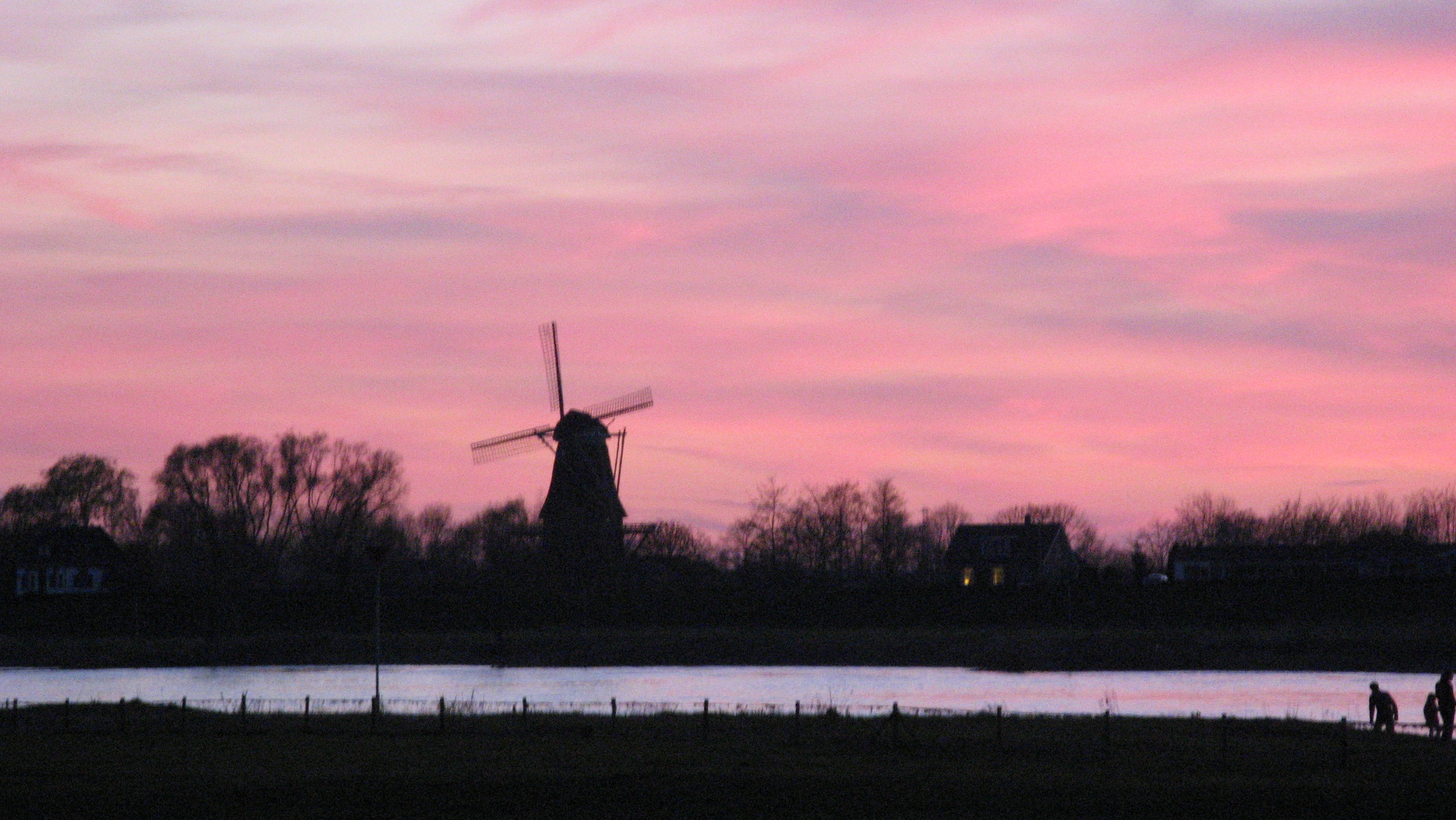
-

River IJssel near Olst
-

de Haere near Olst
References
- ^ Ad van der Meer and Onno Boonstra, Repertorium van Nederlandse gemeenten, KNAW, 2006.
External links
- J. Kuyper, Gemeente Atlas van Nederland, 1865-1870, "Olst". Map of the former municipality, around 1868.
Coordinates: 52°20′N 6°07′E / 52.333°N 6.117°E
Categories:- Populated places in Overijssel
- Former municipalities of Overijssel
- Overijssel geography stubs


Wikimedia Foundation. 2010.