- Crew's Hole, Bristol
-
Coordinates: 51°27′33″N 2°32′28″W / 51.4592°N 2.5411°W
Crew's Hole 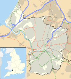
 Crew's Hole
Crew's Hole shown within BristolOS grid reference ST625735 Unitary authority Bristol Region South West Country England Sovereign state United Kingdom Post town BRISTOL Postcode district BS5 Dialling code 0117 Police Avon and Somerset Fire Avon Ambulance Great Western EU Parliament South West England UK Parliament Bristol East List of places: UK • England • Bristol  Quayside Village now occupies the site of the former tar works at Crew's Hole.
Crew's Hole is located in east Bristol near St George.
From the early 18th century it was an industrial area including oil refineries and a tar works site at the bottom of Troopers Hill.
The tar works was established by Isambard Kingdom Brunel in 1843 to provide creosote to be used as a preservative for railway sleepers and by 1863 had passed into the ownership of Brunel's manager, William Butler. It continued to operate until 1981.
External links
- Butlers Oil products[dead link]
- Memories of Crew's Hole[dead link]
- Raymond Holland (2002). "History of tar distillation at Crew's Hole". Society of Chemical Industry. 123/2002. http://www.soci.org/Publications/~/media/Files/Conference%20Downloads/Bristol%20Tar%20Distillation%202002/Bristol_tar_distillation_2002.ashx.
- Map of Crew's Hole circa 1900
Categories:- Districts of Bristol
- Bristol geography stubs


Wikimedia Foundation. 2010.