- Interstate H-201
-
Interstate H-201
Moanalua Freeway 
Route information Maintained by HDOT Length: 4.10 mi[1] (6.60 km) History: 1989–present, signed in 2004 Major junctions West end:  H-1 in Hālawa, HI
 H-3 in Hālawa, HI
East end: H-1 in Honolulu, HIHighway system Auxiliary route of the Interstate Highway System
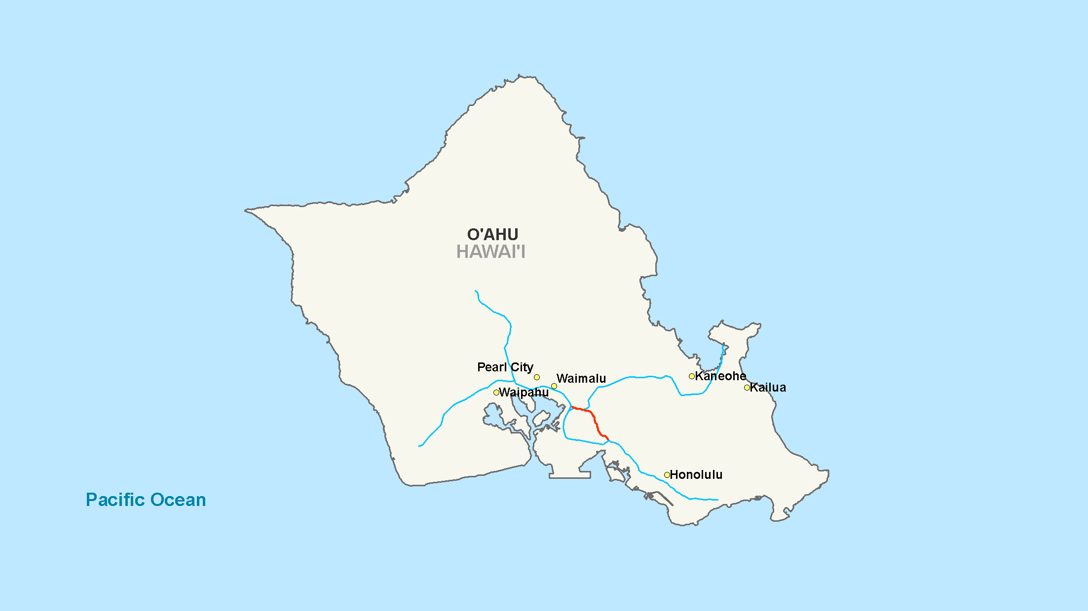
Main • Auxiliary • BusinessInterstate H-201 (H-201) is an auxiliary Interstate Highway located on the island of O‘ahu in the U.S. state of Hawaii. The H-201 is also known as the Moanalua Freeway. The 4-mile (6.4 km) loop route connects exits 13 and 19 on Interstate H-1, passing Fort Shafter, Tripler Army Medical Center, and Red Hill.
Despite being designated an Interstate in 1989, until recently the route was a hidden Interstate signed only as Route 78. Interstate signs started appearing in mid-2004. The section of the Moanalua Freeway between Route 99 (Kamehameha Highway) and the western Interstate H-1 interchange remains designated as Route 78. Because this roadway was formerly an unsigned Interstate designation, it was commonly thought to be the only segment of freeway in Hawaii to not have an Interstate designation.
Contents
History
 Letters in H-201 shields require thinner text, such as on signage like this one.
The length of H-201 was originally designated as Route 78.[2]
The Federal Highway Administration approved the addition of Interstate H-201 to the Interstate Highway System on November 1, 1989. The Hawai‘i Department of Transportation asked that the Moanalua Freeway be reclassified as an Interstate so that the interchange with H-1 at the eastern end could conform to federal highway standards. The highway was initially designated H-1A, but federal highway policy does not allow alphabetic suffixes in Interstate numbers. The final designation, H-201, conforms to the general rules for three-digit Interstate "loop" routes.
Until 2004, the state Department of Transportation chose not to sign H-201 as such, instead retaining the designation Route 78. Reasons given included the following:
- inability to render the new route number in a legible manner (it is necessary to use the thinnest font to render the number, as seen above, and the shield is wider than the standard interstate shield)
- encouraging motorists to use the newer and better designed H-1
- avoiding confusion with Interstate H-2
In July 2004, in conjunction with a major resurfacing of both sides of the freeway, it was decided to bring the signage in line with the official designation.
Exit list
The entire route is in Honolulu County.
Location Mile # Destinations Notes Halawa 0.0  Route 99 west – Pearlridge, Pearl City
Westbound exit and eastbound entrance Aloha Stadium, Aiea Westbound exit and eastbound entrance Eastern terminus of Route 78; western terminus of H-201 0.5 1A H-1 east – Honolulu International Airport, Pearl HarborNo westbound exit H-1 west – Pearl CityNo eastbound exit 0.9 1B Halawa Valley, Aloha Stadium, Halawa Heights, Camp Smith, Halawa Signed as exit 1E westbound 1.4 1C H-3 east – KaneoheSigned as exit 1D westbound 2.4 2 Aiea, Hawaii, Salt Lake, Moanalua Valley Honolulu 3.7 3  Route 7310 (Puuloa Road) / Paa Street - Tripler Army Medical Center, Honolulu International Airport
4.5 4 Ahua Street-Pearl Harbor – Fort Shafter H-1 east – HonoluluEastbound exit and westbound entrance 1.000 mi = 1.609 km; 1.000 km = 0.621 mi References
See also
External links
Categories:- Three-digit Interstate Highways
- Interstate Highways in Hawaii


Wikimedia Foundation. 2010.