- Cerro Negro de Mayasquer
-
Cerro Negro de Mayasquer Location of Cerro Negro de Mayasquer, Colombia/Ecuador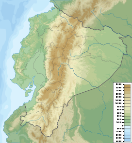
 Cerro Negro de Mayasquer
Elevation 4,445 m (14,583 ft) [1] Listing List of volcanoes in Colombia Location Location Carchi,  Ecuador
Range Cordillera Real, Andes Coordinates 0°49′39″N 77°57′52″W / 0.8275°N 77.96444°WCoordinates: 0°49′39″N 77°57′52″W / 0.8275°N 77.96444°W[1] Geology Type Stratovolcano Age of rock Pleistocene Volcanic arc/belt Northern Volcanic Zone, Andean Volcanic Belt Last eruption July 17, 1936(?)[1] Cerro Negro de Mayasquer is a volcano on the border of Colombia and Ecuador. It lies 3 kilometres (2 mi) north-west of the volcano Chiles, and the two peaks are considered part of the same Chiles-Cerro Negro volcanic complex. A 1936 eruption reported by the Colombian government agency Ingeominas may have been from the Ecuadorean volcano Reventador, otherwise the volcano has not erupted for around 160,000 years.[1]
See also
References
- ^ a b c d "Cerro Negro de Mayasquer". Global Volcanism Program, Smithsonian Institution. http://www.volcano.si.edu/world/volcano.cfm?vnum=1501-11. Retrieved May 2, 2011.
Categories:- Mountains of Colombia
- Volcanoes of Colombia
- Volcanoes of Ecuador
- Stratovolcanoes
- Active volcanoes
- Colombia geography stubs

Wikimedia Foundation. 2010.