- Coree, New South Wales
-
Coree
New South Wales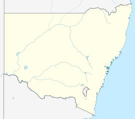
 Coree
CoreePopulation: 91[1] Postcode: 2710 Elevation: 95 m (312 ft) Location: - 43 km (27 mi) from Jerilderie
- 48 km (30 mi) from Conargo
LGA: Conargo Shire County: Townsend State District: Murray-Darling Federal Division: Farrer Coree is a community in the central part of the Riverina in New South Wales, Australia. It is situated about 43 kilometres west from Jerilderie and 48 kilometres east from Conargo. At the 2006 census, Coree had a population of 91 people.[1] The name could have derived from an Aboriginal word meaning 'charcoal'.[2]
Coree Post Office opened on 15 March 1875 and closed in 1892.[3]
Notes and references
- ^ a b Australian Bureau of Statistics (25 October 2007). "Coree (State Suburb)". 2006 Census QuickStats. http://www.censusdata.abs.gov.au/ABSNavigation/prenav/LocationSearch?collection=Census&period=2006&areacode=SSC16835&producttype=QuickStats&breadcrumb=PL&action=401. Retrieved 12 July 2009.
- ^ "Coree". Geographical Names Board of New South Wales. http://www.gnb.nsw.gov.au/name_search/extract?id=JPckwpsEan. Retrieved 12 July 2009.
- ^ Premier Postal History. "Post Office List". https://www.premierpostal.com/cgi-bin/wsProd.sh/Viewpocdwrapper.p?SortBy=NSW&country=. Retrieved 2009-06-11.
Coordinates: 35°22′0″S 145°28′0″E / 35.366667°S 145.466667°E
Categories:- Towns in New South Wales
- Towns in the Riverina
- Riverina geography stubs

Wikimedia Foundation. 2010.