- Esker
-
An esker is a long winding ridge of stratified sand and gravel, examples of which occur in glaciated and formerly glaciated regions of Europe and North America. Eskers are frequently several kilometres long and, because of their peculiar uniform shape, are somewhat like railway embankments.[1]
Contents
Geology
Most eskers are argued to have formed within ice-walled tunnels by streams which flowed within (englacial) and under (subglacial) glaciers. They tended to form around the time of the glacial maximum when the glacier was slow and sluggish. After the retaining ice walls melted away, stream deposits remained as long winding ridges. (Water can flow uphill if it is under pressure in an enclosed pipe, such as a natural tunnel in ice.)
Eskers may also form above glaciers by accumulation of sediment in supraglacial channels, in crevasses, in linear zones between stagnant blocks, or in narrow embayments at glacier margins. Eskers form near the terminal zone of glaciers, where the ice is not moving as fast and is relatively thin.[2]
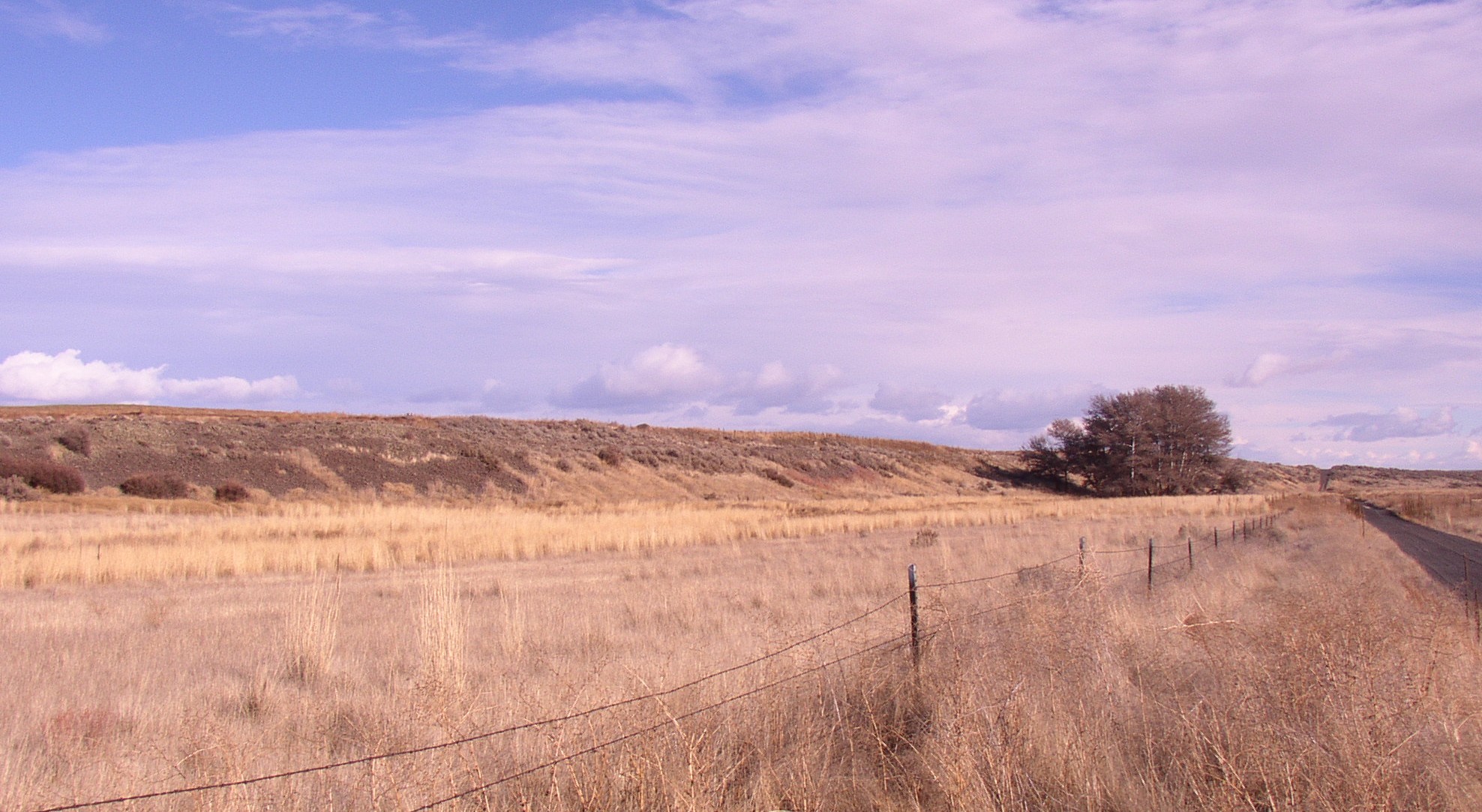
 Esker in Sims Corner Eskers and Kames National Natural Landmark, Washington, USA. Note trees at the edge of the esker and the single lane road crossing the esker to the right of the photo which provide scale.
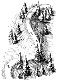
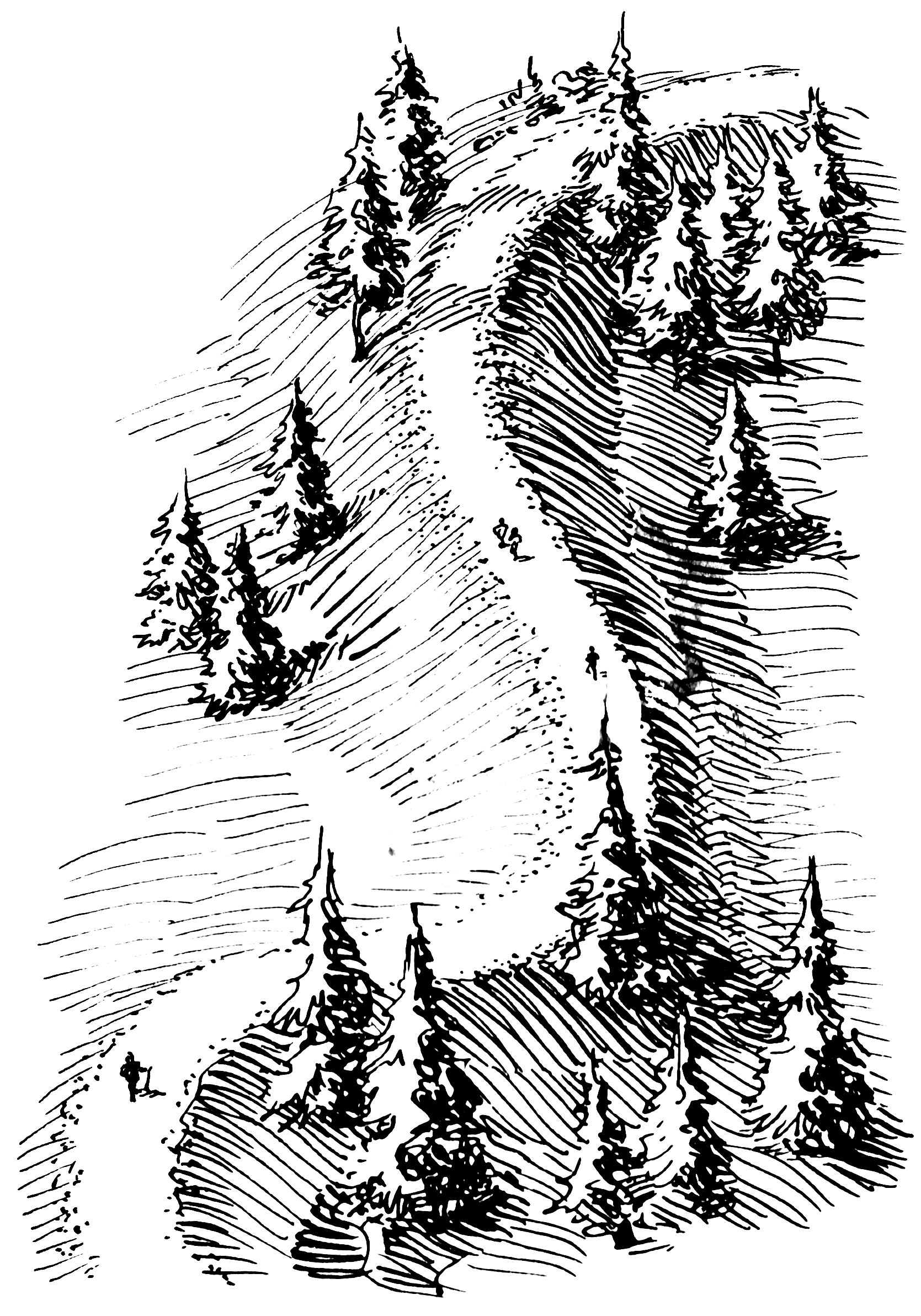
Plastic flow and melting of the basal ice determines the size and shape of the subglacial tunnel. This in turn determines the shape, composition and structure of an esker. Eskers may exist as a single channel, or may be part of a branching system with tributary eskers. They are not often found as continuous ridges, but have gaps that separate the winding segments. The ridge crests of eskers are not usually level for very long, and are generally knobby. Eskers may be broad-crested or sharp-crested with steep sides.[2] They can reach hundreds of kilometers in length and are generally 20–30 metres in height.
The path of an esker is governed by its water pressure in relation to the overlying ice. Generally the pressure of the ice was at such a point that it would allow eskers to run in the direction of glacial flow, but force them into the lowest possible points such as valleys or river beds, which may deviate from the direct path of the glacier. This process is what produces the wide eskers upon which roads and highways can be built. Less pressure, occurring in areas closer to the glacial maximum, can cause ice to melt over the stream flow and create steep-walled, sharply-arched tunnels.[3]
The concentration of rock debris in the ice and the rate at which sediment is delivered to the tunnel by melting and from upstream transport determines the amount of sediment in an esker. The sediment generally consists of coarse-grained, water-laid sand and gravel, although gravelly loam may be found where the rock debris is rich in clay. This sediment is stratified and sorted, and usually consists of pebble/cobble-sized material with occasional boulders. Bedding may be irregular but is almost always present, and cross-bedding is common.[2]
Etymology

The name Esker is derived from the Irish word eiscir (Old Irish: escir), which means: "a ridge or elevation, especially one separating two plains or depressed surfaces".[4] The term was used particularly to describe long sinuous ridges, which are now known to be deposits of fluvio-glacial material. The best-known example of such an eiscir is the Eiscir Riada, which runs nearly the whole width of Ireland from Dublin to Galway, a distance of 200 km, and is still closely followed by the main road from Dublin to Galway.
Examples of eskers
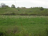 A part of the Mason Esker
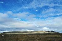 Mount Pelly or Ovayok
In Sweden Uppsalaåsen stretches for 250 km (160 mi) and passes through Uppsala city.
Great Esker Park runs along the Back River in Weymouth, Massachusetts and is home to the highest esker in North America (90 ft).
Pispala in Tampere, Finland is on an esker between two lakes carved by glaciers.
The village of Kemnay in Aberdeenshire, Scotland has an excellent 5 km esker locally called the Kemb Hills.
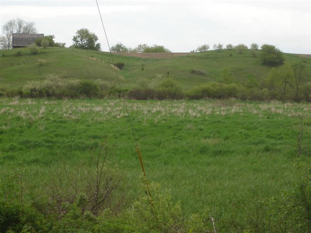
The Mason Esker, about 22 miles long, is one of the longest eskers in the USA. [1] It is in Mason, Michigan. It stretches from DeWitt through Lansing and Holt, ending in Mason. Esker systems in the U.S. state of Maine can be traced for up to 100 miles. [2]
The Thelon Esker runs for 800 kilometers and straddles the border between Northwest Territories and Nunavut in Canada.[5]
Ovayok or Mount Pelly in Ovayok Territorial Park, Kitikmeot, Nunavut in Canada.
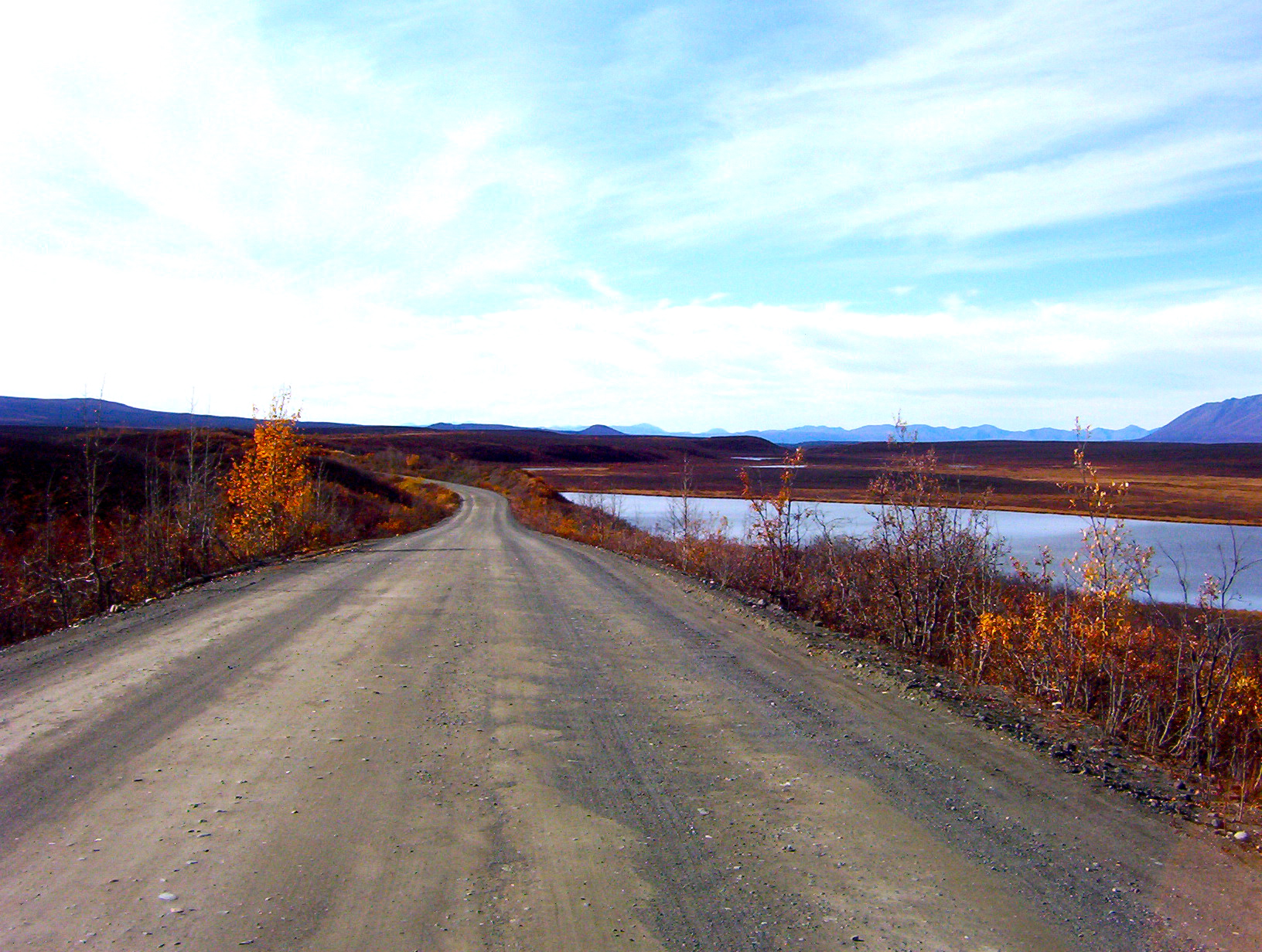
Roads are sometimes built along eskers to save expense. Examples include the Denali Highway in Alaska, the Trans-Taiga Road in Quebec, and the "Airline" segment of Maine State Route 9 between Bangor and Calais. [3] There are numerous long eskers in the Adirondack State Park in upstate New York.
See also
- Tunnel valley
- Glacial landforms
- Glacier morphology
- Eskers Provincial Park (British Columbia, Canada)
References
- Trenhaile, Alan (2007). Geomorphology: A Canadian Perspective. Don Mills, Ontario: Oxford University Press. pp. 188–191. ISBN 0-19-542474-3.
- ^ Gedney, Larry (August 1, 1984). "Eskers: The Upside-Down Riverbeds". Alaska Science Forum Article #674. http://www2.gi.alaska.edu/ScienceForum/ASF6/674.html. Retrieved 29 September 2011.
- ^ a b c *Easterbrook, D.J. (1999). Surface Processes and Landforms. New Jersey: Prentice Hall. pp. 352. ISBN 0-13-860958-6.
- ^ Shreve, R.L., 1985, Esker characteristics in terms of glacier physics, Katahdin esker system, Maine: GSA Bulletin, v. 96, p. 639–646.
- ^ Quin, E. G. (gen. ed.) (1983). Dictionary of the Irish Language. Dublin: Royal Irish Academy. pp. 281. ISBN 0-901714-29-1.
- ^ Gray, Charlotte (2004). 'The Museum Called Canada: 25 Rooms of Wonder. Random House. ISBN 067931220X.
External links
- Oblique aerial photo of an esker in Waterford, Maine
- Esker Riada Webpage
- Diagram illustrating (i) tunnel in glacier before retreat of ice, forming (ii) meandering esker in The Ice Melts: Deposition on page 6 of "Pennsylvania and the Ice Age" published 1999 by PA DCNR Bureau of Topographic and Geologic Survey
- The Bridgenorth Esker: geomorphology and sedimentology
Glaciers Types of glaciers - Cirque glacier
- Ice cap
- Ice field
- Ice sheet
- Ice shelf
- Ice stream
- Outlet glaciers
- Rock glaciers
- Valley glaciers
- Ledoyom (Ice body)
Anatomy Processes Measurements Glaciovolcanic relations Glacial landforms Erosional- Arête
- Cirque
- Crag and tail
- Fjord
- Glacial horn
- Glacial striae
- Hanging valley
- Ribbon lake
- Roche moutonnée
- Tunnel valley
- U-valley
Depositional- Drumlin
- Drumlin field
- Erratic block
- Moraine
- Pulju moraine
- Rogen moraine
- Terminal moraine
- Till plain
- Veiki moraine
Glacifluvial- Esker
- Kame
- Kame delta
- Kettle hole
- Outwash fan
- Sandur
- Giant current ripples
- Diluvium
- Glaciology
- Category:Glaciers
Categories:

Wikimedia Foundation. 2010.