- Chongpyong
-
Not to be confused with Cheongpyeong, a town in South Korea.
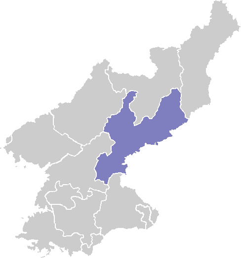
Chongpyong Chosŏn'gŭl 정평군 Hancha 定平郡 McCune–Reischauer Chŏngp'yŏng kun Revised Romanization Jeongpyeong-gun Statistics Administrative divisions 1 ŭp, 1 workers' district, 43 ri Chongpyong is a county in South Hamgyong province, North Korea. It borders South Pyongan province to the south, and the East Korea Bay to the east.
Contents
Physical features
The highest point is Noranbong. Most of the county's land is mountainous, but the southeast region is flat. The chief river is the Kumjin River. In the winter, its climate is continental and the weather is bitterly cold; however, the influence of the Rangrim Mountains makes Chongpyong's climate milder than that of the Yellow Sea coast.
Economy
Agriculture and fishery
Rice is cultivated on the level ground of the southeast, where the soil is fertile. Small amounts of other farming and orcharding also take place. Due to the county's coastal location, fishing is also practised.
Mining
Mining is a minor component of the local economy.
Transport
Railroads serving Chongpyong include the Wonsan Line and the Hamgyong Line (now Pyongra Line).
See also
External links
- (Korean) In Korean language online encyclopedias:
South Hamgyŏng Capital 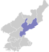
Cities Districts Counties Categories:- Counties of South Hamgyong
Wikimedia Foundation. 2010.