- Necanicum River
-
Necanicum River  The river as it flows through Seaside near its outlet to the Pacific Ocean
Country United States State Oregon County Clatsop Source Northern Oregon Coast Range - location Humbug Mountain, Clatsop County, Oregon - elevation 1,580 ft (482 m) [1] - coordinates 45°55′37″N 123°42′30″W / 45.92694°N 123.70833°W [2] Mouth Pacific Ocean - location At Seaside, Clatsop County, Oregon - elevation 0 ft (0 m) [2] - coordinates 46°0′41″N 123°55′39″W / 46.01139°N 123.9275°W [2] Length 21 mi (34 km) [3] Basin 83.7 sq mi (217 km2) [4] 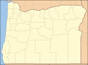
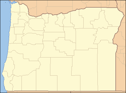
 Location of the mouth of the Necanicum River in Oregon
The Necanicum River is river on the Pacific coast of northwest Oregon in the United States, approximately 21 miles (34 km) long. It drains a timber-producing area of the Northern Oregon Coast Range northwest of Portland. It forms the first estuary south of the mouth of the Columbia River along the Oregon Coast.
Contents
Course
The Necanicum River rises south of Humbug Mountain (not to be confused with the Humbug Mountain in southwestern Oregon), in south central Clatsop County and south of the Saddle Mountain State Natural Area. The elevation of the river's source is approximately 1,580 feet (480 m).[2] It flows generally west, along U.S. Route 26. Approximately 3 miles (4.8 km) from the coast, east of Tillamook Head, it turns north. The river enters the Pacific Ocean at Seaside. Its final approach to the ocean is nearly parallel to the coast, bisecting the city of Seaside south to north.
Neacoxie Creek flowing in from the north, draining Clatsop Plains, is the last tributary before the river enters the ocean.
At one time, Cullaby Lake and Cullaby Creek drained into the river via the Neacoxie. The Clatsop Canal Project – Carnahan Ditch changed this and they now train into the Skipanon River.
See also
References
- ^ Source elevation derived from USGS topo map. The USGS GNIS source coordinates appear inaccurate.
- ^ a b c d U.S. Geological Survey Geographic Names Information System: Necanicum River
- ^ "The Watershed". Necanicum Watershed Council. http://www.necanicumwatershed.org/watershed.html. Retrieved May 12, 2009.
- ^ Snyder, Kai U.; Timothy J. Sullivan, Richard B. Raymond, Erin Gilbert, Deian Moore (March, 2002). "Necanicum River Watershed Assessment". E & S Environmental Chemistry, Inc. and Necanicum River Watershed Council. https://nrimp.dfw.state.or.us/web%20stores/data%20libraries/files/Watershed%20Councils/Watershed%20Councils_182_DOC_Necanicum%20River%20Watershed%20Assessment.pdf. Retrieved May 12, 2009.
External links
- Historic images of the Necanicum River from Salem Public Library
- Necanicum River Watershed (archived)
Categories:- Oregon Coast
- Rivers of Oregon
- Landforms of Clatsop County, Oregon

Wikimedia Foundation. 2010.