- Mount Meron
-
Mount Meron Har Merón • Jábal al-Jármaq 
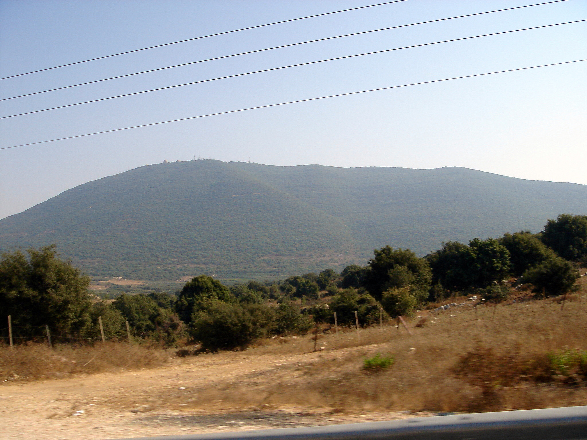
Northern slopes of Mt. Meron after the 2006 Lebanon WarElevation 1,208 m (3,963 ft) Location Israel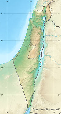
 Mount Meron
Coordinates 33°00′N 35°25′E / 33°N 35.417°ECoordinates: 33°00′N 35°25′E / 33°N 35.417°E Mount Meron (Hebrew: הר מירון, Har Meron; Arabic: جبل الجرمق, Jabal al-Jarmaq)[1] is a mountain in Israel 1,208 metres (3,963 ft) above sea level. It is the highest mountain in Israel within the Green Line or the second highest point when including the Israeli-annexed part of the Golan Heights, which encompass the southern slopes of Mount Hermon. The mountain has special significance in Jewish popular religious traditions and parts of it are a nature reserve.
Contents
Mount Meron nature reserve
In 1965, an 84000-dunam nature reserve was declared. An additional 1199 dunams were declared part of the reserve in 2005.[2] It is the largest and highest reserve in Israel, at an altitude of 1208 meters above sea level.[3].
Traditions
the mountain surrounded by several historical Palestinian villages,it was destroyed by the Israel army after 1948 war. The village of Meron is on its slopes as well as the adjacent Jewish holy site (especially to Orthodox Jews) of the tomb of Rabbi Shimon bar Yochai. Leading up to the anniversary of his death on Lag B'Omer, thousands of people camp out along the slopes near the tomb, and on Lag B'Omer itself, hundreds of thousands make pilgrimages to celebrate the occasion.
Hiking paths
The mountain has a strong undergrowth and it cannot be walked up from every direction. The main path starts at the north west side of the Meron village. There is a gate next to the road, with a color-marked path of about 10 km. There is also a path on the west side of the mountain, but it is not easy to reach by public transport.
Climate
Mt Meron has a Mediterranean climate (koppen Csa) with hot and dry summers and damp and cool winters. It snows on Mt Meron a few times each year but the snow usually doesn't stay on the ground for more than a few days. There are 22 days a year with a temperature of 32C or higher on Mt Meron and 28 days below freezing. Note: the below climate chart is an average of only 5 years so the record highs and lows may not be fully accurate. Also, the site doesn't give accurate rainfall information so there isn't any rainfall data in the below table.
Climate data for Mount Meron (2002-2007) Month Jan Feb Mar Apr May Jun Jul Aug Sep Oct Nov Dec Year Record high °C (°F) 17
(63)22
(72)18
(64)26
(79)32
(90)32
(90)33
(91)36
(97)33
(91)28
(82)26
(79)20
(68)36
(97)Average high °C (°F) 8
(46)9
(48)11
(52)18
(64)23
(73)27
(81)29
(84)30
(86)27
(81)26
(79)20
(68)12
(54)20.0
(68.0)Daily mean °C (°F) 6
(43)6
(43)7
(45)13
(55)18
(64)21
(70)23
(73)24
(75)21
(70)20
(68)16
(61)9
(48)15.3
(59.6)Average low °C (°F) 4
(39)3
(37)4
(39)8
(46)13
(55)15
(59)17
(63)18
(64)16
(61)15
(59)12
(54)6
(43)10.9
(51.7)Record low °C (°F) −2
(28)−8
(18)3
(37)7
(45)11
(52)15
(59)13
(55)13
(55)11
(52)5
(41)−8
(18)Source: [4] Gallery
-

The tomb of Shimon bar Yochai
-

Panoramic view of Meron mountain range from Safed
-

View from the top - looking north-east
References
- ^ "Encyclopedia Britannica: Mount Meron". http://www.britannica.com/EBchecked/topic/376253/Mount-Meron. Retrieved 2008-11-24.
- ^ "List of National Parks and Nature Reserves" (in Hebrew). Israel Nature and Parks Authority. http://parks.org.il/sigalit/muchrazim.pdf. Retrieved 2010-09-27.
- ^ "Mount Meron reserve" (in Hebrew). Israel Nature and Parks Authority. http://www.parks.org.il/BuildaGate5/general2/data_card.php?Cat=~30~~316365483~Card1~&ru=&SiteName=parks&Clt=&Bur=579080241. Retrieved 2010-09-27.
- ^ "Climate Information for Har Meron, Israel". Weather Base. http://www.weatherbase.com/weather/weather.php3?s=35104&refer=&units=metric&cityname=Har-Meron-Israel.
 Nature reserves of Israel
Northern District Ein Afek · Akhziv Islands · Alonei Yitzhak · Alonei Abba · Amud Stream · Nahal Ayun · Balfouria · Bitan Aharon · Nahal Betzet · Nahal Dishon · Dor Beach and Ma'agan Michael Islands · Ein Avazim · Ein Elah · Ein Nymphit · Ein Te'oh · Ein Yehuda · Nahal Gamal · Gamla nature reserve† · Snir Stream · Hermon nature reserve† · Nahal Hermon† · Hula Valley · Hurshat Tal · Hurshat Zakum · Kerem Ben Zimra · Nahal Kziv · Mount Arbel · Mount Carmel · Mount Gilboa · Mount Meron · Mount Tabor · Pa'ar Cave · Rosh HaNikra · Shamir-Nahal Rachum · Shimron · Nahal Taninim · Tel Anafa · Nahal Tavor · Tel Dan · Tel Shikmona · Nahal YehiamCentral District Adullam · Ashdod Nitzanim Sand Dune Park · Bnei Zion · Avshalom Cave · Ein Hemed · HaMasrek Reserve · Neot Kedumim · Nahal Poleg · Nahal Sorek · Tel Yitzhak · Te'omim Cave · UdimSouthern District Eilat Region Coral Beach Nature Reserve · Timna valley · Yotvata Hai-Bar† Located in the Israeli-occupied territoriesCategories:- Mountains of Israel
- Nature reserves in Israel
- Israel geography stubs
-


Wikimedia Foundation. 2010.