- Cumberland River
-
This article is about the American river. For the river in Australia, see Cumberland River (Victoria).
Cumberland River 
Canoers on the Cumberland River upstream from Cumberland FallsOrigin Small stream in Letcher County, KY near Flat Gap, VA Mouth Ohio River at Livingston County, near Smithland, Kentucky Basin countries United States Length 688 miles (1,107 km) Source elevation 1,155 ft (352 m) Avg. discharge 30,441 ft³/s (862 m3/s Basin area 18,081 mi² (46,830 km²)  Map of the Cumberland River Watershed
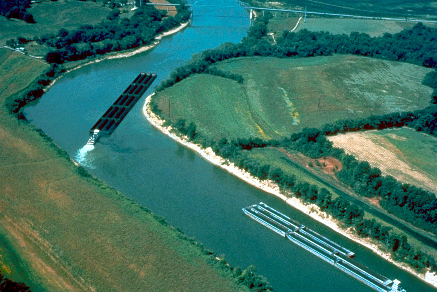
 Barge traffic on the Cumberland River. The U.S. Army Corps of Engineers maintains the river for tug-and-barge navigation.
The Cumberland River is a waterway in the Southern United States. It is 688 miles (1,107 km) long.[1] It starts in Harlan County in far southeastern Kentucky between Pine and Cumberland mountains, flows through southern Kentucky, crosses into northern Tennessee, and then curves back up into western Kentucky before draining into the Ohio River at Smithland, Kentucky. The city of Nashville, Tennessee sits along the banks of the Cumberland River.
Contents
Hydrography
The Cumberland River is a wild river above the headwaters of Lake Cumberland. Cumberland Falls, 68 feet (21 m) high, is one of the largest waterfalls in the eastern United States and is one of the few places in the Western Hemisphere where a moonbow can be seen.[citation needed]
History
During the early colonial period, the river was known as "Warioto" to the local Native Americans and as "Shauvanon" by French traders. It was also known as the "Shawnee" or "Shawonoe" before being known by its current name.[2]
Important first as a passage for hunters and settlers, the Cumberland River also supported later riverboat trade which reached to the Ohio and Mississippi rivers. Villages, towns and cities were located at landing points along its banks. Through the middle of the 19th century, settlers depended on rivers for trading and travel.
In 1748, Dr. Thomas Walker led a party of hunters across the Appalachian Mountains from Virginia, mapped and named the river.[citation needed]
Previous to Walker's trip, the Cumberland River had been called Wasioto by Native Americans and Rivere des Chaouanons, or "river of the Shawnee," by French traders. The river was also known as the Shawnee River (or Shawanoe River) for years after Walker's trip.[3]
Topography
In late April and early May 2010, due to extensive rains, the Cumberland River overflowed its banks and flooded Nashville and Clarksville. The downtown area was ordered to evacuate.[4]
See also
- List of longest rivers of the United States (by main stem)
Notes
- ^ U.S. Geological Survey. National Hydrography Dataset high-resolution flowline data. The National Map, accessed June 8, 2011
- ^ http://fr.wikipedia.org/wiki/Cumberland_(rivi%C3%A8re)
- ^ U.S. Geological Survey Geographic Names Information System: Cumberland River
- ^ "At least 3 dead in Ky., hundreds of roads flooded". http://www.google.com/hostednews/ap/article/ALeqM5gToxGRg5OgeiVpllCklfwJCmigjgD9FFFCPG0. Retrieved 2010-05-03.
References
- Albright, Edward. "Early History of Middle Tennessee". (1908).
- Stewart, George R. "Names on the Land". (Boston: 1967) (See George R. Stewart)
- Arthur Benke & Colbert Cushing, "Rivers of North America". Elsevier Academic Press, 2005 ISBN 0-12-088253-1
- Myers, Fred (2004) Cumberland River CruiseGuide, ISBN 0-9704962-3-0
- Duthie, Bob & Mavis (2008) What to Expect Cruising the Cumberland River,CD-ROM [1]
- Hay, Jerry (2010_ Cumberland River Guidebook, ISBN 978-1-4507-2458-6
- Kohrs, Randy (2009 'Cumberland', Album, 'Quicksand' ASIN: B002N1AEI2)
Categories:- Rivers of Kentucky
- Rivers of Tennessee
- Tributaries of the Ohio River
- Geography of Cheatham County, Tennessee
- Geography of Harlan County, Kentucky
- Geography of Livingston County, Kentucky
- Geography of Davidson County, Tennessee
- Geography of McCreary County, Kentucky
- Geography of Whitley County, Kentucky
- Geography of Montgomery County, Kentucky
- Geography of Clay County, Tennessee
- Geography of Stewart County, Tennessee

Wikimedia Foundation. 2010.