- Blankenfelde-Mahlow
-
Blankenfelde-Mahlow Church in Blankenfelde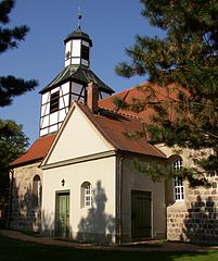

 Blankenfelde-MahlowLocation of Blankenfelde-Mahlow within Teltow-Fläming district
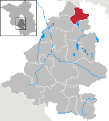
Coordinates 52°21′0″N 13°24′0″E / 52.35°N 13.4°ECoordinates: 52°21′0″N 13°24′0″E / 52.35°N 13.4°E Administration Country Germany State Brandenburg District Teltow-Fläming Mayor Ortwin Baier (SPD) Basic statistics Area 54.89 km2 (21.19 sq mi) Elevation 43 m (141 ft) Population 25,718 (31 December 2010)[1] - Density 469 /km2 (1,214 /sq mi) Other information Time zone CET/CEST (UTC+1/+2) Licence plate TF Postal codes 15827, 15831 Area code 03379 Website www.blankenfelde-mahlow.de Blankenfelde-Mahlow is a municipality in the Teltow-Fläming district of Brandenburg, Germany. It is situated approx. 3 km south of Berlin.
History
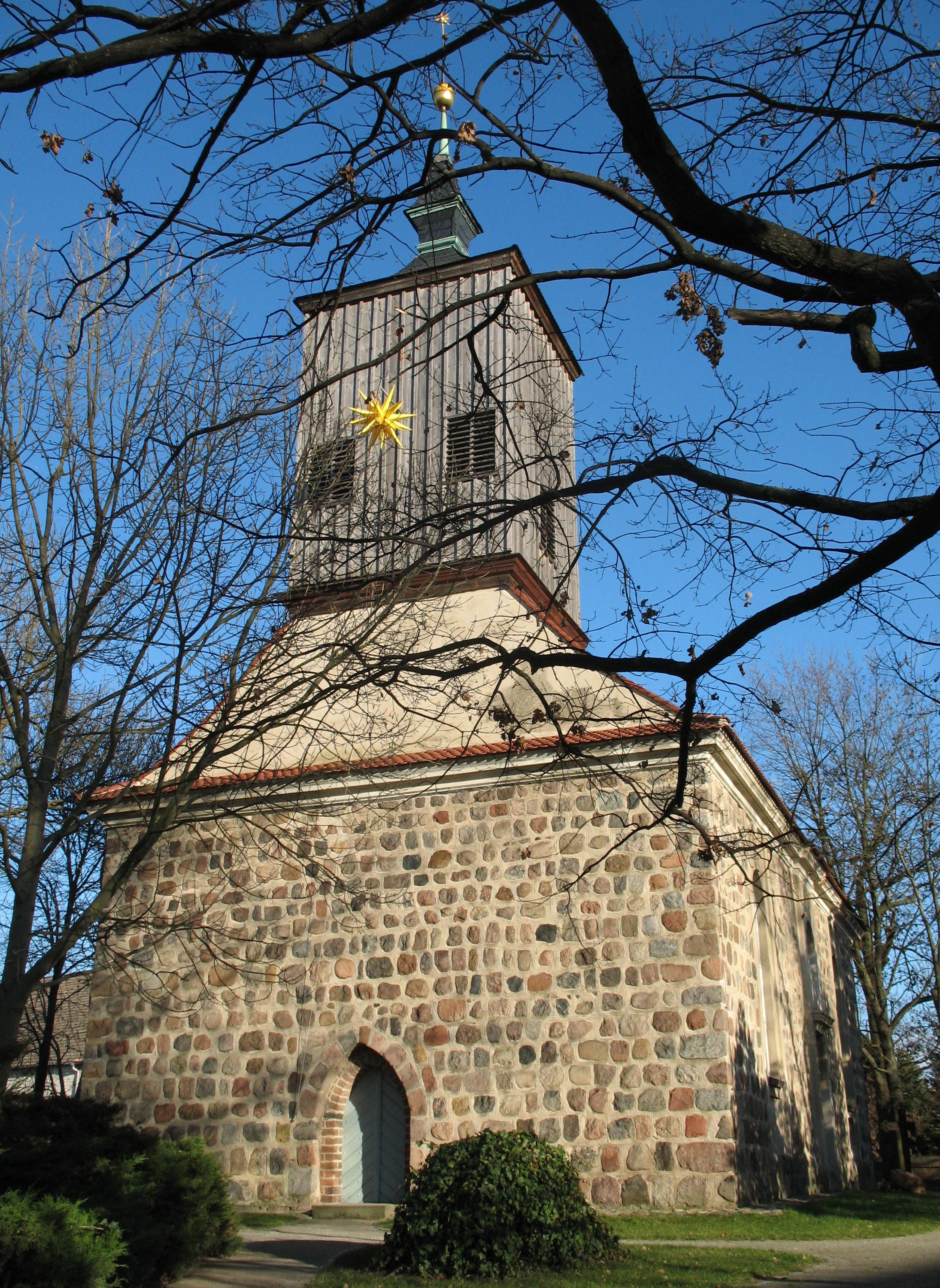
 Church in Mahlow
The municipality shared its borders with the former West Berlin, and so during the period 1961-1990 it was separated from it by the Berlin Wall.
See also
- Blankenfelde station
- Mahlow station
References
- ^ "Bevölkerung im Land Brandenburg am am 30. Dezember 2010 nach amtsfreien Gemeinden, Ämtern und Gemeinden. Gebietsstand: 31.12.2010" (in German). Amt für Statistik Berlin-Brandenburg. 31 December 2010. http://www.statistik-berlin-brandenburg.de//Publikationen/OTab/2011/OT_A01-04-00_124_201012_BB.pdf.
Am Mellensee | Baruth | Blankenfelde-Mahlow | Dahme | Dahmetal | Großbeeren | Ihlow | Jüterbog | Luckenwalde | Ludwigsfelde | Niederer Fläming | Niedergörsdorf | Nuthe-Urstromtal | Rangsdorf | Trebbin | Zossen Categories:
- Municipalities in Brandenburg
- Localities in Teltow-Fläming
- Brandenburg geography stubs


Wikimedia Foundation. 2010.