- Mühldorf (district)
-
Mühldorf — District — 
Country  Germany
State Bavaria Adm. region Oberbayern Capital Mühldorf Area – Total 805 km2 (310.8 sq mi) Population (31 December 2010)[1] – Total 110,282 – Density 137/km2 (354.8/sq mi) Time zone CET (UTC+1) – Summer (DST) CEST (UTC+2) Vehicle registration MÜ Website landkreis-muehldorf.de Mühldorf is a district in Bavaria, Germany. It is bounded by (from the north and clockwise) the districts of Landshut, Rottal-Inn, Altötting, Traunstein, Rosenheim, Ebersberg and Erding.
Contents
History
Most parts of the district have belonged to Bavaria from the 13th century on. The bishopric of Salzburg possessed some estates in the region as well. In 1803, when the clerical states of Holy Empire were dissolved, Bavaria annexed these estates.
Geography
The district is located in generally plain countryside on either bank of the Inn River.
Coat of arms
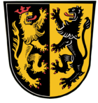
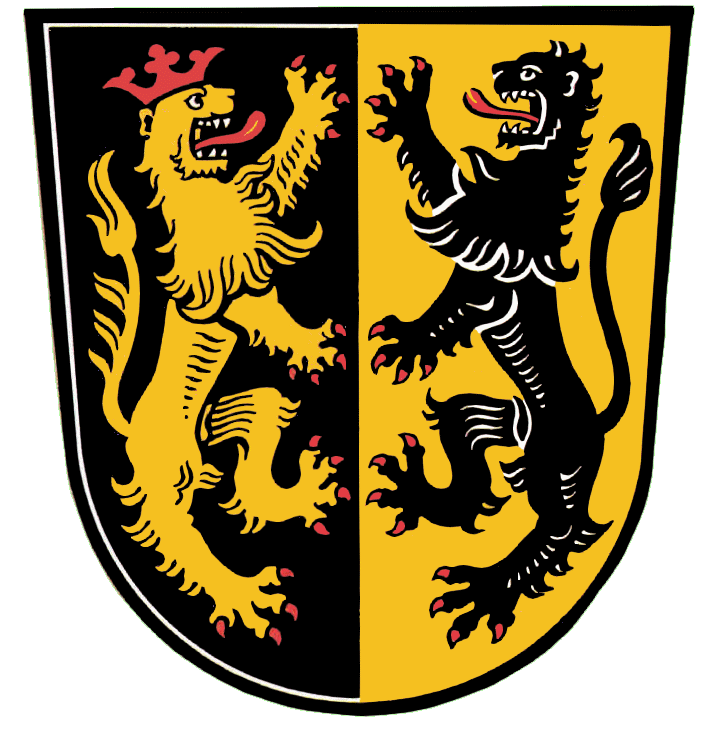
The coat of arms displays: - the heraldic lion of Salzburg
- the heraldic lion of the Palatinate
Towns and municipalities
Towns Municipalities References
- ^ "Fortschreibung des Bevölkerungsstandes" (in German). Bayerisches Landesamt für Statistik und Datenverarbeitung. 31 December 2010. https://www.statistikdaten.bayern.de/genesis/online?language=de&sequenz=tabelleErgebnis&selectionname=12411-009r&sachmerkmal=QUASTI&sachschluessel=SQUART04&startjahr=2010&endjahr=2010.
External links
- Official website (German)
Categories:- Districts of Bavaria
- Mühldorf district
Wikimedia Foundation. 2010.