- Álvaro Obregón, D.F.
-
Álvaro Obregón — Delegación — Álvaro Obregón within the Federal District
Country Mexico Federal entity D.F. Established 1928 Named for Álvaro Obregón Seat Prolongación Calle 10 Col. Cristo Rey Government – Jefe delegacional Eduardo Santillán Pérez (PRD) Area[1] – Total 88.79 km2 (34.3 sq mi) Population 2010 [2] – Total 727,034 – Density 8,188.2/km2 (21,207.4/sq mi) Time zone Central Standard Time (UTC-6) – Summer (DST) Central Daylight Time (UTC-5) Postal codes 01000 – 01990 Area code(s) 55 Website http://www.aobregon.df.gob.mx/  Monument to Alvaro Obregon located in the Chimalistac colonia
Álvaro Obregón is one of the 16 delegaciones (boroughs) into which Mexico's Federal District is divided. It contains a large portion of the south-west part of Mexico City. It had a 2010 census population of 727,034 inhabitants and lies at an elevation of 2,319 m. above sea level.
It was named after Álvaro Obregón, a leader of the Mexican Revolution and an early-20th-century Mexican president, who was assassinated in this area. Its former name is San Ángel, and the historic San Ángel neighborhood still retains this name, as does the Televisa San Angel motion picture and television studio, which is located in this borough.
Contents
Geography
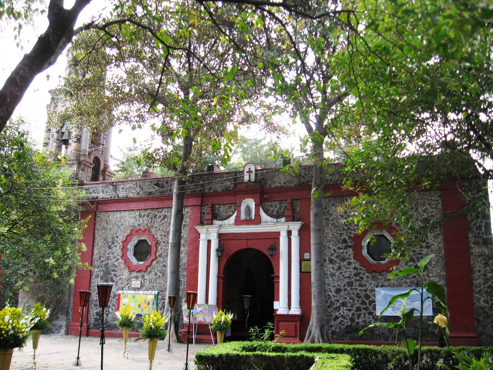
 Church in Colonia Chimalistac.
The borough of Álvaro Obregon is located in the West of the Federal District, and has a land surface of 96.17 km², with an elongated shape from Northeast to Southeast.
It borders Miguel Hidalgo borough to the North, Benito Juarez and Coyoacán to the East, Magdalena Contreras, Tlalpan and Jalatlacalco municipality (State of Mexico) to the South and Cuajimalpa to the West. Together with this borough Álvaro Obregón becomes the Western access to the city, and its regional roadways are the Federal Highway and the Freeway, which constitute the entry for merchandise and population from the states of Mexico and Michoacán.
The borough's maximum height is 3,820 meters above sea level at the summit of Triangulo mountain, and the lowest is at 2,260 meters. The borough occupies 7,720 hectares, or 6.28% of the Federal District area, and it has the fifth place in terms of territory of all boroughs. Of such hectares, 5,052 are urban soil and 2,668 are considered protected soil (66.1% and 33.8% respectively). Other important elevations (in meters) are the San Miguel mountain (3,780); the Cruz de Colica o Alcalica mountain (3,610); the Temamatla mountain (3,500); the Ocotal (3,450) and the Zacazontetla (3,270). In general, the relief is of great contrasts, constituted by surfaces of piedmont, product of the natural erosion of the mountain chain.
It is geographically located between the parallels 19°; 14'N and 19°; 25'S and the meridians 99°; 10'E W and 99°; 20'0 W.
Edaphology
In the borough 4 types of soils dominate:
1) HAPLIC AND LUVIC PHAEOZEM: Cover 53.8% of the borough's territory; it is a soil that presents a normal sequence in its horizons, and a maximum thickness of 100 cm, developing between 2,500 and 3,000 meters above sea level.
2) HAPLIC LITOSOLS: Are from a rocky volcanic origin, with a maximum thickness of 30 cm, covering 28.8% of the borough, are located between 2,300 and 2,500 meters in altitude.
3) ANDOSOLS: Occupying 21.1% of the borough's land area; are rich in volcanic materials, dark superficial horizons, and have a maximum thickness of 50 cm. Their texture is medium and are located between 3,000 and 3,800 meters, and constitute the maximum altitude of the borough.
4) EUTRIC REGOSOL: Occupying 1.9% of the borough's land area; are soils from a volcanic origin or from elotic accumulation, little compacted and have a maximum thickness of 30 cm; they present thick texture and brown color.
Government and infrastructure
The Secretariat of Public Security of the Mexican federal government has its headquarters in Álvaro Obregón.[3]
Economy
Volaris has its headquarters in Santa Fe, Álvaro Obregón.[4]
Climate
Presa Mixcoac Climate chart (explanation) J F M A M J J A S O N D 7224723511257212686626917524102162210183231017522107023882265225Average max. and min. temperatures in °C Precipitation totals in mm Source: [1] Imperial conversion J F M A M J J A S O N D 0.372390.373410.477450.879462.679486.975508.572507.273506.972502.873460.372430.27241Average max. and min. temperatures in °F Precipitation totals in inches Desierto de los Leones Climate chart (explanation) J F M A M J J A S O N D 1416114162161943819510419624517626616627216623315699165151649152Average max. and min. temperatures in °C Precipitation totals in mm Source: [2] Imperial conversion J F M A M J J A S O N D 0.661340.661360.666391.566414.166439.663431061431161439.259433.961410.661390.45936Average max. and min. temperatures in °F Precipitation totals in inches For the region of San Ángel, Mixcoac, Tacubaya and adjacent areas around 2240 meters above sea level and up to 2,410, the climate is consistently mild with cool mornings and wetter than in Mexico City's downtown, averaging 15.5°C (60°F) and 943.1 mm (37.1 in) of rainfall yearly. The monthly temperature is warmest from April through June, reaching 17°C (63°F), whilst the lowest median temperatures occur from December through February reaching 13°C (55°F). Between 2,410 up to 3,100 meters above sea level the median temperature of the warmest months gets reduced to between 14.9°C and 17.1°C (58°F to 62°F) also from April through June. The minimum median temperatures (December-February) are cooler at 10°C (50°F). Precipitation here ranges between 1,000 to 1,200 mm (39 to 47 in) annually.
At higher elevations or in more forested areas temperatures cool down but precipitation rises. For instance even though the Desierto de los Leones National Park can reach above 3000 meters above sea level, at only 2220 meters the forest has a much cooler weather than the above mentioned neighborhoods. The median temperature here drops to 10.6°C (51°F) and precipitation averages 1324 mm (52 in). All regions of the borough experience the highest rainfall from June through September and the lowest from November through February.
The climate charts illustrate the differences between two regions within Álvaro Obregón.
Flora and fauna
The flora and fauna of the borough of Álvaro Obregón developed during prehistoric times. In the region of Tizapán, San Jerónimo and El Batán there are fossils belonging to the Upper Pleistocene. On June 17, 1959 the paleontologist Manuel Maldonado Koerdell, the professor Francisco González Rul and the archeologist Arturo Romano, investigated the fossils of a horse and a mammoth "archidiskidon impera tor leidy", that lived approximately between 8 to 10 thousand years before Christ. A mammoth consumed a daily average of 200 kg of fresh herbs and a well-developed adult weighted between eight to ten and a half tons; in the highest part of its back it measured about 4 meters in height. This fossil remains, the first to be found in the whole Valley of Mexico, were located in excavations of 0.60 and 1.80 meters in the tepetate layers that are known as Tacubaya strata.
Other findings were unveiled on August 27 of the same year in the banks of the San Ángel river, in the enlargement of Las Águilas Avenue, around the town of Tlacopac.
The fauna was very varied in prehispanic times, but most of the species have become extinct. The mountain fauna was particularly rich in precious and rapacious birds.
Many of the mammals have disappeared or are in danger of extinction. In the region the while tailed deer, the lynx and the coyote were once plentiful, but the presence of man, that for many years practised hunting in the higher parts of the territory, eliminated them.
Currently, between 2,500 and 3,000 meters above sea level there remains a large fauna, but because of its nearness to the population centers it is easily accessible and thus disturbed. In the Sierra de las Cruces, a few decades ago there can still be found mammals such as the opossum, the armadillo, shrew, rabbit, tree squirrel, ardillón, land squirrel, gopher, mice, mountain mouse, pine mouse, volcano mouse, alfarero mouse and fox, even though their current populations are much diminished.
In the region there can be found the following birds: coquita, hummingbird, saltaparedes swallow, primavera, duraznero, gorrionete, amongst others. In terms of reptiles the most common are lizards, rattlesnakes, and in rocky regions, mainly snakes. In amphibians there are salamanders that inhabit the trunks of trees, frogs and ajolotes. The most distinct insects are those who inhabit the rotten trunks of pines, the bark worn. This xylophagus coleopterous and their adults live below the bark of such trees. Amongst phitophagous invertebrates there are moths of the geometrid family, whose larvae became a serious plague in the abies forest. Another butterfly that inhabited this forest, but without feeding directly from the abies, is the synopcia exmia, whose larvae eat tepozán (Buddleia).
Vegetation
Nowadays, the vegetation is determined by factors such as soil, water and climate, consisting in the lower part of the borough's territory, in trees and bushes that have been planted in some green or recreative areas that surround the urbanised areas. In the middle area, between 2,500 and 3,000 meters, exist mesophile forests that cover ravines and gullies with epiphitous vegetation such as mosses, ferns and woody creepers. In the lava rocky region there are endemic plants such as: palo loco, palo dulce, tabaquillo, tepozán and copal; species that have been preserved in the ecologic reveroir of the UNAM. The region of great vegetation density comprises the high elevations, where there are located mixed forests, with abundancy in pines and oaks. The primary tree species are oaks, limoncillo and stands of pine, that generally grow together; the more common pines are the ocotes (Pinus moctezumae) and the Mexican mountain pine (Pinus Hartwegui), this last ones resistant to the environmental conditions of the area and due to pollution are present in a low density.
Above 3,000 meters there are coniferous forests where oak and pines dominate, that can achieve heights between 5 and 12 meters. In the southern part of the borough there are small stands of fir trees that do not reach a great development.
 Pine-oak forest during the dry season
References
- ^ "Delegación Álvaro Obregón" (in Spanish) (PDF). Sistema de Información Económica, Geográfica y Estadística. http://www.siege.df.gob.mx/estadistico/pdf/monografias/avo.pdf. Retrieved 2008-09-18.
- ^ 2010 census tables: INEGI
- ^ "About the SSP." Secretariat of Public Security. Retrieved on December 12, 2010. "Ave.Constituyentes No. 947 floor, Col. Belén de las Flores, Del. Álvaro Obregón, C.P. 01110, Mexico, D.F."
- ^ "Contáctanos." Volaris. Retrieved on December 4, 2010. "Dirección de oficinas Volaris - Prolongación Paseo de la Reforma 490 piso 1 Col. Santa Fe Peña Blanca México DF, Delegación Álvaro Obregón C.P. 01210"
External links
- (Spanish) Delegación Álvaro Obregón Official site
Boroughs (Delegaciones) of the Mexican Federal District Álvaro Obregón · Azcapotzalco · Benito Juárez · Coyoacán · Cuajimalpa de Morelos · Cuauhtémoc · Gustavo A. Madero · Iztacalco · Iztapalapa · Magdalena Contreras · Miguel Hidalgo · Milpa Alta · Tláhuac · Tlalpan · Venustiano Carranza · Xochimilco
Categories:


Wikimedia Foundation. 2010.