- National Register of Historic Places listings in Steuben County, New York
-
 Location of Steuben County in New York
List of the National Register of Historic Places listings in Steuben County, New York
This is intended to be a complete list of properties and districts listed on the National Register of Historic Places in Steuben County, New York. The locations of National Register properties and districts (at least for all showing latitude and longitude coordinates below) may be seen in a Google map by clicking on "Map of all coordinates".[1]
-
- This National Park Service list is complete through NPS recent listings posted November 18, 2011.[2]
Contents: Counties in New York Albany (Albany) – Allegany – Bronx – Broome – Cattaraugus – Cayuga – Chautauqua – Chemung – Chenango – Clinton – Columbia – Cortland – Delaware – Dutchess – Erie (Buffalo) – Essex – Franklin – Fulton – Genesee – Greene – Hamilton – Herkimer – Jefferson – Kings (Brooklyn) – Lewis – Livingston – Madison – Monroe (Rochester) – Montgomery – Nassau – New York (Manhattan – Below 14th Street, 14th to 59th Streets, 59th to 110th Streets, Above 110th Street, Islands) – Niagara – Oneida – Onondaga (Syracuse) – Ontario – Orange – Orleans – Oswego – Otsego – Putnam – Queens – Rensselaer – Richmond (Staten Island) – Rockland – Saratoga – Schenectady – Schoharie – Schuyler – Seneca – St. Lawrence – Steuben – Suffolk – Sullivan – Tioga – Tompkins – Ulster – Warren – Washington – Wayne – Westchester (New Rochelle, Peekskill, Yonkers) – Wyoming – Yates Listings county-wide
[3] Landmark name Image Date listed Location City or town Summary 1 Addison Village Hall April 23, 1980 Tuscarora and South Sts.
42°06′17″N 77°14′06″W / 42.104722°N 77.235°WAddison 2 Adsit House February 20, 2003 34 Main St.
42°19′42″N 77°39′49″W / 42.328333°N 77.663611°WHornell 3 Campbell-Rumsey House 
September 30, 1983 225 E. Steuben St.
42°19′58″N 77°18′27″W / 42.332778°N 77.3075°WBath 4 Canisteo Living Sign July 16, 2004 SE side of hill, N of Cemetery Rd. off Greenwood St.
42°15′59″N 77°36′53″W / 42.266389°N 77.614722°WCanisteo 5 Church of the Redeemer 
November 12, 1992 Jct. of Park and Wall Sts.
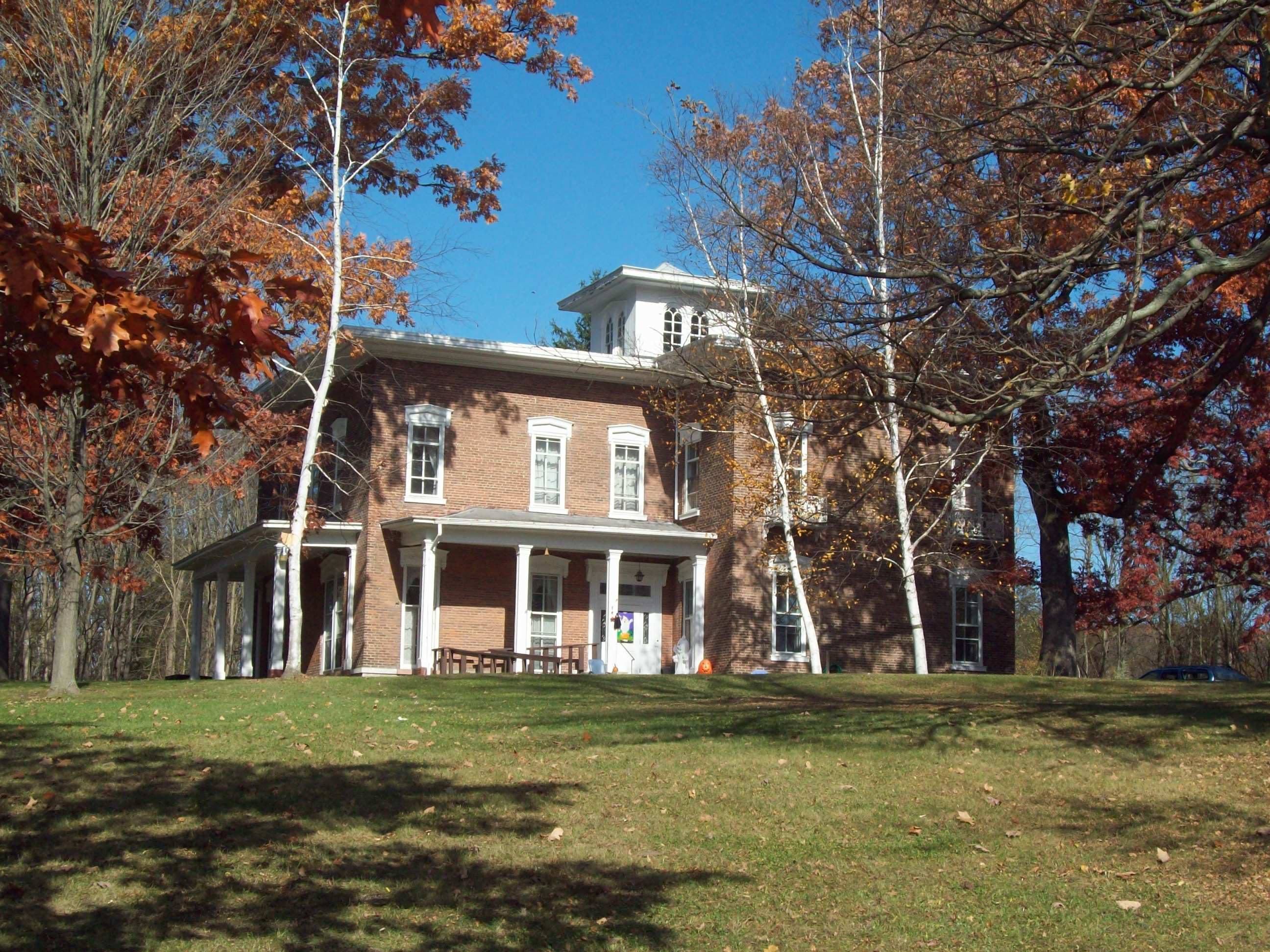
42°06′30″N 77°13′58″W / 42.108333°N 77.232778°WAddison 6 Cobblestone House 
September 30, 1983 120 W. Washington St.
42°20′15″N 77°19′28″W / 42.3375°N 77.324444°WBath 7 Corning Armory 
May 18, 2003 127 Centerway
42°08′54″N 77°03′16″W / 42.148333°N 77.054444°WCorning 8 Cottages at Central Point Cottages at Central PointOctober 20, 2011 14681–14697 Keuka Village Rd.
42°30′01″N 77°06′45″W / 42.500278°N 77.1125°WWayne New listing; refnum 11000754 9 Davenport Library 
September 30, 1983 W. Morris St.
42°19′58″N 77°19′28″W / 42.332778°N 77.324444°WBath 10 Delaware, Lackawanna & Western Railroad Station 
November 21, 1991 Jct. of Steuben St. and Victory Hwy.
42°09′44″N 77°05′28″W / 42.162292°N 77.090992°WPainted Post 11 District School Number Five March 21, 2001 9436 Dry Run Rd.
42°13′24″N 77°07′58″W / 42.223333°N 77.132778°WCampbell 12 Erie Freighthouse Historic District 
March 18, 1991 Jct. of Cohocton St. and Railroad Ave.
42°20′00″N 77°19′34″W / 42.333333°N 77.326111°WBath 13 First Baptist Church of Painted Post 
February 5, 1999 130 W. Water St.
42°09′30″N 77°05′40″W / 42.158333°N 77.094444°WPainted Post 14 Gansevoort/East Steuben Streets Historic District 
September 30, 1983 E. Steuben and Gansevoort Sts.
42°20′01″N 77°18′54″W / 42.333611°N 77.315°WBath 15 Germania Wine Cellars 
November 2, 2000 8299 Pleasant Valley Rd.
42°24′12″N 77°14′59″W / 42.403333°N 77.249722°WHammondsport 16 Gold Seal Winery 
November 28, 2010 West Lake Road
42°27′24″N 77°10′50″W / 42.45654°N 77.180556°WHammondsport vicinity Winery founded by Konstantin Frank, who established viability of traditional European grapes in Finger Lakes winemaking. 17 George W. Hallock House 
September 24, 2004 16 W. William St.
42°20′15″N 77°19′14″W / 42.3375°N 77.320556°WBath 18 Hammondsport Union Free School 
May 15, 2008 41 Lake St.
42°24′28″N 77°13′24″W / 42.407639°N 77.223239°WHammondsport (new listing, refnum 08000411) 19 Haverling Farm House 
September 30, 1983 313 Haverling St.
42°20′42″N 77°19′06″W / 42.345°N 77.318333°WBath 20 Hornell Armory 
May 6, 1980 100 Seneca St.
42°19′55″N 77°39′42″W / 42.331944°N 77.661667°WHornell 21 Hornell Public Library 
February 24, 1975 64 Genesee St.
42°19′41″N 77°39′28″W / 42.328056°N 77.657778°WHornell 22 Jenning's Tavern 
September 20, 1973 59 W. Pulteney St.
42°09′05″N 77°03′51″W / 42.151389°N 77.064167°WCorning 23 Larrowe House 
December 7, 1989 S. Main St./US 415
42°29′55″N 77°29′42″W / 42.498611°N 77.495°WCohocton 24 Liberty Street Historic District 
September 30, 1983 Roughly Liberty St. from E. Morris St. to Haverling St.
42°20′06″N 77°19′08″W / 42.335°N 77.318889°WBath 25 Main Street Historic District 
April 26, 1996 Main St. from the Canisteo R. to the jct. of Main, Steuben, Tuscarora, South Sts. and Valerio Pkwy.
42°06′21″N 77°14′04″W / 42.105833°N 77.234444°WAddison 26 Mallory Mill 
December 9, 1999 Pulteney St.
42°24′39″N 77°13′36″W / 42.410833°N 77.226667°WHammondsport 27 Maple Street Historic District 
December 6, 1996 Roughly, Maple St. from Academy Rd. to Curtis Sq. Park
42°06′34″N 77°13′48″W / 42.109444°N 77.23°WAddison 28 Market Street Historic District 
March 1, 1974 Market St. from Chestnut St. to Wall St.
42°08′35″N 77°03′14″W / 42.143056°N 77.053889°WCorning 29 McMaster House 
September 30, 1983 207 E. Washington St.
42°20′12″N 77°18′37″W / 42.336667°N 77.310278°WBath 30 Northrup Hill School District 10 February 12, 1999 Learn Rd.
42°08′51″N 77°22′30″W / 42.1475°N 77.375°WRathbone 31 Pleasant Valley Wine Company 
November 18, 1980 SR 88
42°24′04″N 77°15′15″W / 42.401111°N 77.254167°WRheims 32 Potter-Van Camp House 
September 30, 1983 4 W. Washington St.
42°20′14″N 77°19′11″W / 42.337222°N 77.319722°WBath 33 Presbyterian Church of Atlanta 
February 17, 2010 2 Main Street
42°33′14″N 77°28′23″W / 42.553831°N 77.473147°WAtlanta New listing; refnum 10000030 34 Pulteney Square Historic District 
November 18, 1999 Roughly surrounds Pulteney Sq.
42°24′34″N 77°13′22″W / 42.409444°N 77.222778°WHammondsport 35 Reuben Robie House 
September 30, 1983 16 W. Washington St.
42°20′15″N 77°19′17″W / 42.3375°N 77.321389°WBath 36 Rowe House 
February 19, 2008 11763 Rowe Rd.
42°34′11″N 77°29′09″W / 42.569611°N 77.485783°WWayland 37 Sedgwick House 
September 30, 1983 101 Haverling St.
42°20′27″N 77°19′06″W / 42.340833°N 77.318333°WBath 38 William Shepherd House 
September 30, 1983 110 W. Washington St.
42°20′15″N 77°19′24″W / 42.3375°N 77.323333°WBath 39 Southside Historic District February 20, 1998 Roughly bounded by NY 17, Chemung St., Spencer Hill, and Washington St.
42°08′21″N 77°03′21″W / 42.139167°N 77.055833°WCorning 40 St. Ann's Federation Building May 29, 2001 38 Broadway
42°19′33″N 77°39′38″W / 42.325833°N 77.660556°WHornell 41 Town Linke Church and Cemetery 
November 20, 2000 Cty Rte. 119
42°10′33″N 77°20′37″W / 42.175833°N 77.343611°WCameron Mills 42 US Post Office-Bath 
November 17, 1988 101 Liberty St.
42°20′08″N 77°19′08″W / 42.335556°N 77.318889°WBath 43 US Post Office-Corning 
November 17, 1988 129 Walnut St.
42°08′34″N 77°03′28″W / 42.142778°N 77.057778°WCorning 44 US Post Office-Hornell 
December 8, 1997 50 Seneca St.
42°19′45″N 77°39′42″W / 42.329108°N 77.661645°WHornell 45 US Post Office-Painted Post 
May 11, 1989 135 N. Hamilton St.
42°09′30″N 77°05′37″W / 42.158333°N 77.093611°WPainted Post 46 M. J. Ward Feed Mill Complex 
March 18, 1991 1-9 Cameron St.
42°19′57″N 77°19′24″W / 42.3325°N 77.323333°WBath 47 William Wombough House July 3, 2003 145 E. Front St.
42°06′52″N 77°13′07″W / 42.114444°N 77.218611°WAddison 48 Wood Road Metal Truss Bridge March 15, 2005 Wood Rd. over Cohocton River
42°15′09″N 77°13′02″W / 42.2525°N 77.217222°WCampbell 49 World War Memorial Library 
March 31, 1995 149 Pine St.
42°08′30″N 77°03′21″W / 42.141667°N 77.055833°WCorning 50 Timothy M. Younglove Octagon House 
August 22, 2002 8329 Pleasant Valley Rd.
42°24′17″N 77°14′37″W / 42.404722°N 77.243611°WUrbana See also
References
- ^ The latitude and longitude information provided in this table was derived originally from the National Register Information System, which has been found to be fairly accurate for about 99% of listings. For about 1% of NRIS original coordinates, experience has shown that one or both coordinates are typos or otherwise extremely far off; some corrections may have been made. A more subtle problem causes many locations to be off by up to 150 yards, depending on location in the country: most NRIS coordinates were derived from tracing out latitude and longitudes off of USGS topographical quadrant maps created under the North American Datum of 1927, which differs from the current, highly accurate WGS84 GPS system used by Google maps. Chicago is about right, but NRIS longitudes in Washington are higher by about 4.5 seconds, and are lower by about 2.0 seconds in Maine. Latitudes differ by about 1.0 second in Florida. Some locations in this table may have been corrected to current GPS standards.
- ^ "National Register of Historic Places: Weekly List Actions". National Park Service, United States Department of the Interior. Retrieved on November 18, 2011.
- ^ Numbers represent an ordering by significant words. Various colorings, defined here, differentiate National Historic Landmark sites and National Register of Historic Places Districts from other NRHP buildings, structures, sites or objects.
Categories:- National Register of Historic Places in New York by county
- Buildings and structures in Steuben County, New York
-


Wikimedia Foundation. 2010.