Nizki Island

Nizki Island
4 - Nizki.
Nautical Chart of Nizki Island

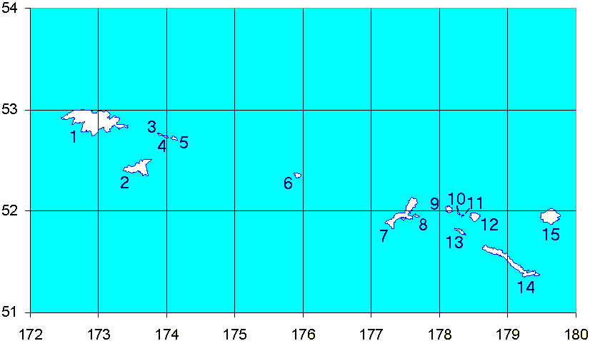
Nizki Island (Avayax̂[1] in Aleut) is an uninhabited island in the Aleutian Islands in the U.S. state of Alaska. Located at 52°44′28″N 173°59′08″E / 52.74111°N 173.98556°E / 52.74111; 173.98556, it is the middle island of the Semichi Islands group of the Near Islands. Flanked by Shemya to the east and Alaid to the west, three-mile-long (5 km) Nizki is periodically joined to Alaid by a sand spit. The name is said[by whom?] to derive from the Russian nizkiy, meaning "low," a term descriptive of the island's topography, with a maximum elevation of 165 feet. Nizki's shoreline is very irregular and is fringed by numerous rocks, reefs, and kelp-marked shoals.[2]

Foxes were introduced to Nizki Island by Russian fur traders in the 19th century. This decimated the population of many bird species on the island. The last fox was removed from Nizki Island in 1976, and now Aleutian Canada Geese (once believed to be extinct), Puffins, and Aleutian Terns are common on the island.[3]

References

  1. ^ Bergsland, K. (1994). Aleut Dictionary. Fairbanks: Alaska Native Language Center. 
  2. ^ U.S. Coast Pilot 9, Chapter 7, Aleutian Islands
  3. ^ Alaska Science Forum: Arctic foxes made Aleutians less green

External links


Wikimedia Foundation. 2010.

Игры ⚽ Нужно решить контрольную?

Look at other dictionaries:

  • Nizki Island — Vorlage:Infobox Insel/Wartung/Fläche fehlt Nizki Island Karte von Nizki Island Gewässer Nordpazifik …   Deutsch Wikipedia

  • Nizki — Vorlage:Infobox Insel/Wartung/Bild fehltVorlage:Infobox Insel/Wartung/Fläche fehlt Nizki Island Gewässer Pazifischer Ozean Inselgruppe Semichi Islands Geographische Lage …   Deutsch Wikipedia

  • Isla Nizki — Coordenadas: 52°44′28″N 173°59′08″E / 52.74111, 173.98556 …   Wikipedia Español

  • Attu Island — Dieser Artikel oder Abschnitt ist nicht hinreichend mit Belegen (Literatur, Webseiten oder Einzelnachweisen) versehen. Die fraglichen Angaben werden daher möglicherweise demnächst gelöscht. Hilf Wikipedia, indem du die Angaben recherchierst und… …   Deutsch Wikipedia

  • Shemya Island — Vorlage:Infobox Insel/Wartung/Höhe fehlt Shemya Island Luftbild von Shemya Gewässer Pazifischer Ozean …   Deutsch Wikipedia

  • Alaid Island — Topographisches Kartenblatt Gewässer Pazifischer Ozean, Beringsee …   Deutsch Wikipedia

  • Lotus Island — Vorlage:Infobox Insel/Wartung/Bild fehltVorlage:Infobox Insel/Wartung/Fläche fehltVorlage:Infobox Insel/Wartung/Höhe fehlt Lotus Island Gewässer Beringmeer Inselgruppe Semichi Islands …   Deutsch Wikipedia

  • Hammerhead Island — Vorlage:Infobox Insel/Wartung/Bild fehltVorlage:Infobox Insel/Wartung/Fläche fehltVorlage:Infobox Insel/Wartung/Höhe fehlt Hammerhead Island Gewässer Beringmeer Inselgruppe Semichi Islands …   Deutsch Wikipedia

  • Kohl Island — Vorlage:Infobox Insel/Wartung/Bild fehltVorlage:Infobox Insel/Wartung/Fläche fehltVorlage:Infobox Insel/Wartung/Höhe fehlt Kohl Island Gewässer Beringmeer Inselgruppe Near Islands …   Deutsch Wikipedia

  • Peaked Island — Vorlage:Infobox Insel/Wartung/Bild fehltVorlage:Infobox Insel/Wartung/Fläche fehltVorlage:Infobox Insel/Wartung/Höhe fehlt Peaked Island Gewässer Beringmeer Inselgruppe Near Islands …   Deutsch Wikipedia

Share the article and excerpts

Direct link
Do a right-click on the link above
and select “Copy Link”