- Foel Fenlli
-
Foel Fenlli 
Elevation 511 m (1,677 ft) Prominence 153 m (502 ft) Parent peak Moel Famau Listing Marilyn Location Location Denbighshire,  Wales
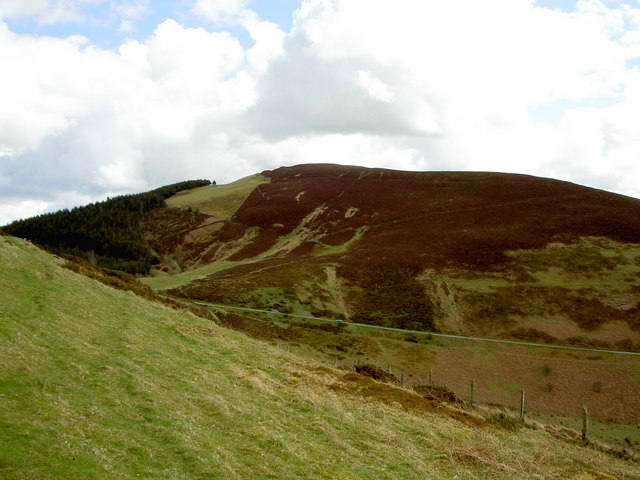
WalesRange Clwydian Range Coordinates 53°07′53″N 3°14′59″W / 53.1313°N 3.2497°WCoordinates: 53°07′53″N 3°14′59″W / 53.1313°N 3.2497°W Topo map OS Landranger 116 OS grid SJ164600 Foel Fenlli or Moel Fenlli is a hill in Denbighshire, North Wales. With a summit at an elevation of 511 metres (1,677 ft), it is the second highest peak of the Clwydian Range.[1]
A popular ascent leads south from the car park at Bwlch Penbarras, which is also a popular starting point for ascending Moel Famau to the north. The Offa's Dyke Path runs around the western slopes. The remains of a hill fort roughly ten hectares in area are found on the peak; the site is believed to date back to the Iron Age but was later reoccupied during the Dark Ages. The "iniquitous and tyrannical" king Benlli (after whom the mountain was named) probably lived there c. 450. He was admonished for opposing Saint Germanus, and he and his castle were "consumed by fire from heaven", so the legend goes.[2] There are the remains of strong ramparts on all sides, with an entrance at the west end. In the south-west quarter of the fort enclosure are about two dozen hut platforms; there is a spring close to the centre.[3]
-

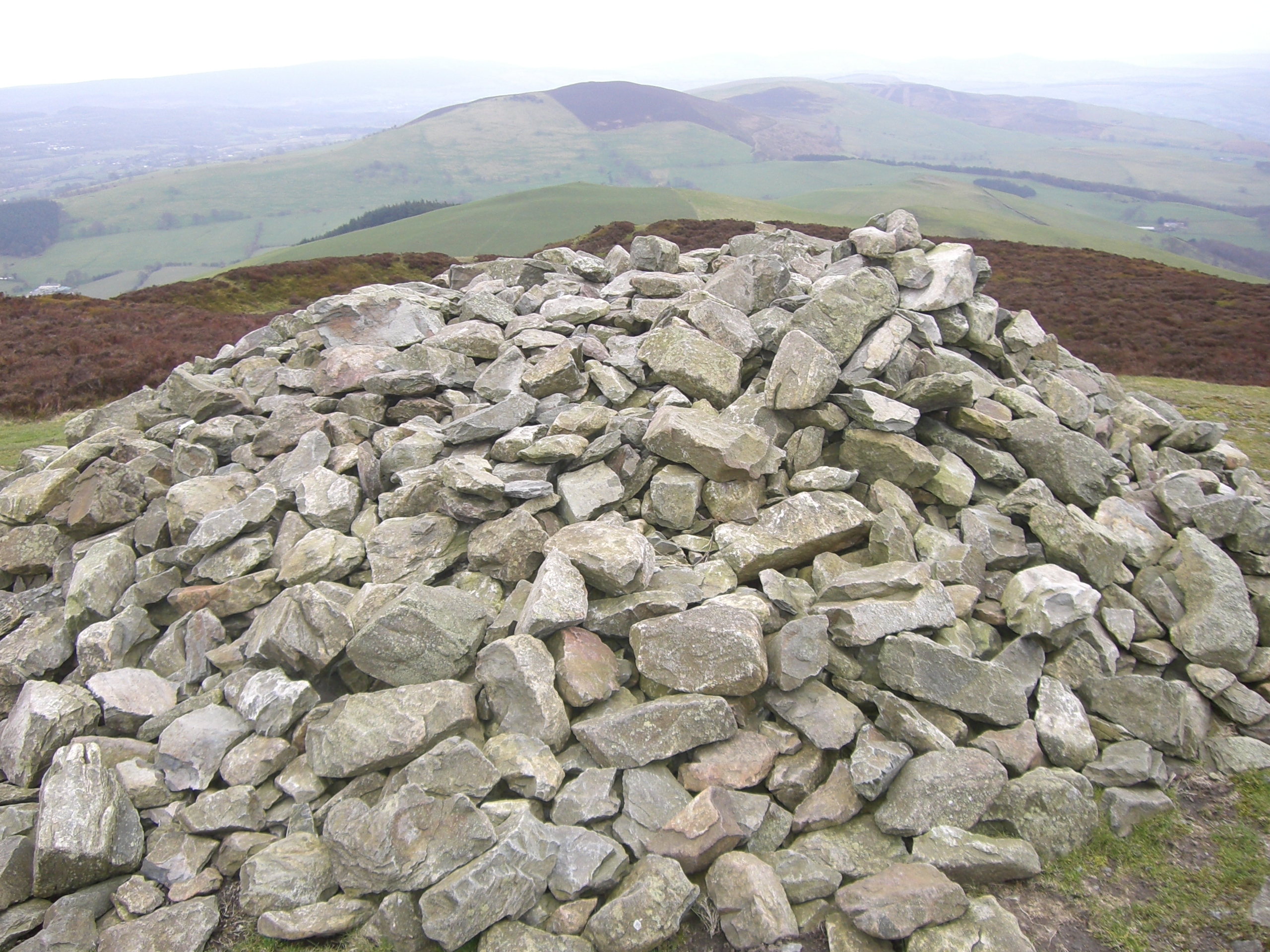
Cairn at the summit
See also
References
External links
Categories:- Marilyns of Wales
- Mountains and hills of north Wales
- Hill forts in Wales
- Clwyd geography stubs
-
Wikimedia Foundation. 2010.