- Millerston
-
Coordinates: 55°53′10″N 4°09′53″W / 55.886077°N 4.164730°W
Millerston 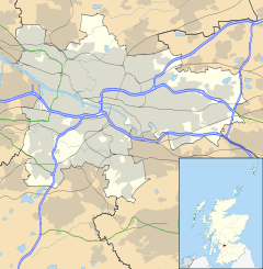
 Millerston
Millerston shown within GlasgowOS grid reference NS647680 Council area Glasgow City Council Lieutenancy area Glasgow Country Scotland Sovereign state United Kingdom Post town GLASGOW Postcode district G33 Dialling code 0141 Police Strathclyde Fire Strathclyde Ambulance Scottish EU Parliament Scotland UK Parliament Glasgow North East Coatbridge, Chryston and Bellshill Scottish Parliament Glasgow Springburn Coatbridge and Chryston Glasgow Central Scotland List of places: UK • Scotland • Glasgow Millerston is a district in the Scottish city of Glasgow. It is situated north of the River Clyde. It is also home to the playing fields of Glasgow's St Aloysius College.
There are two public houses in Millerston, a fish and chip shop, a curry house, a chinese take-away, and a post office.
Categories:- Districts of Glasgow
- Glasgow geography stubs

Wikimedia Foundation. 2010.