- Naremburn, New South Wales
-
Naremburn
Sydney, New South Wales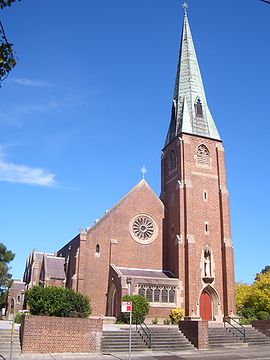
St Leonards Catholic Church, NaremburnPopulation: 6,624 (2001 census) inc. St Leonards Established: 1853 Postcode: 2065 Area: 1.71 km² (0.7 sq mi) Location: 6 km (4 mi) north of Sydney CBD LGA: City of Willoughby State District: Willoughby Federal Division: North Sydney Suburbs around Naremburn: Willoughby Northbridge Northbridge Artarmon Naremburn Cammeray St Leonards Crows Nest Cammeray 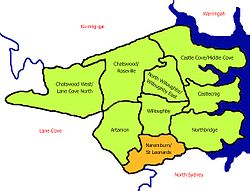

Naremburn is a suburb on the lower North Shore of Sydney, New South Wales, Australia. Naremburn is located 6 kilometres north of the Sydney central business district, in the local government area of the City of Willoughby.
Contents
History
The suburb name dates to the 1800s but its origin cannot be verified. Naremburn was originally known as Central Township. The earliest land grants in the area were granted to Humphrey Evans and Peter Dargan in 1794. [1]
Commercial area and transport
Naremburn has a small shopping strip on Willoughby Road about ten minute's walk from Crows Nest.
The Warringah Freeway to the city runs through the suburb. The closest railway station is St Leonards railway station on the North Shore line of the CityRail network.
Churches
- St Leonards Catholic Church
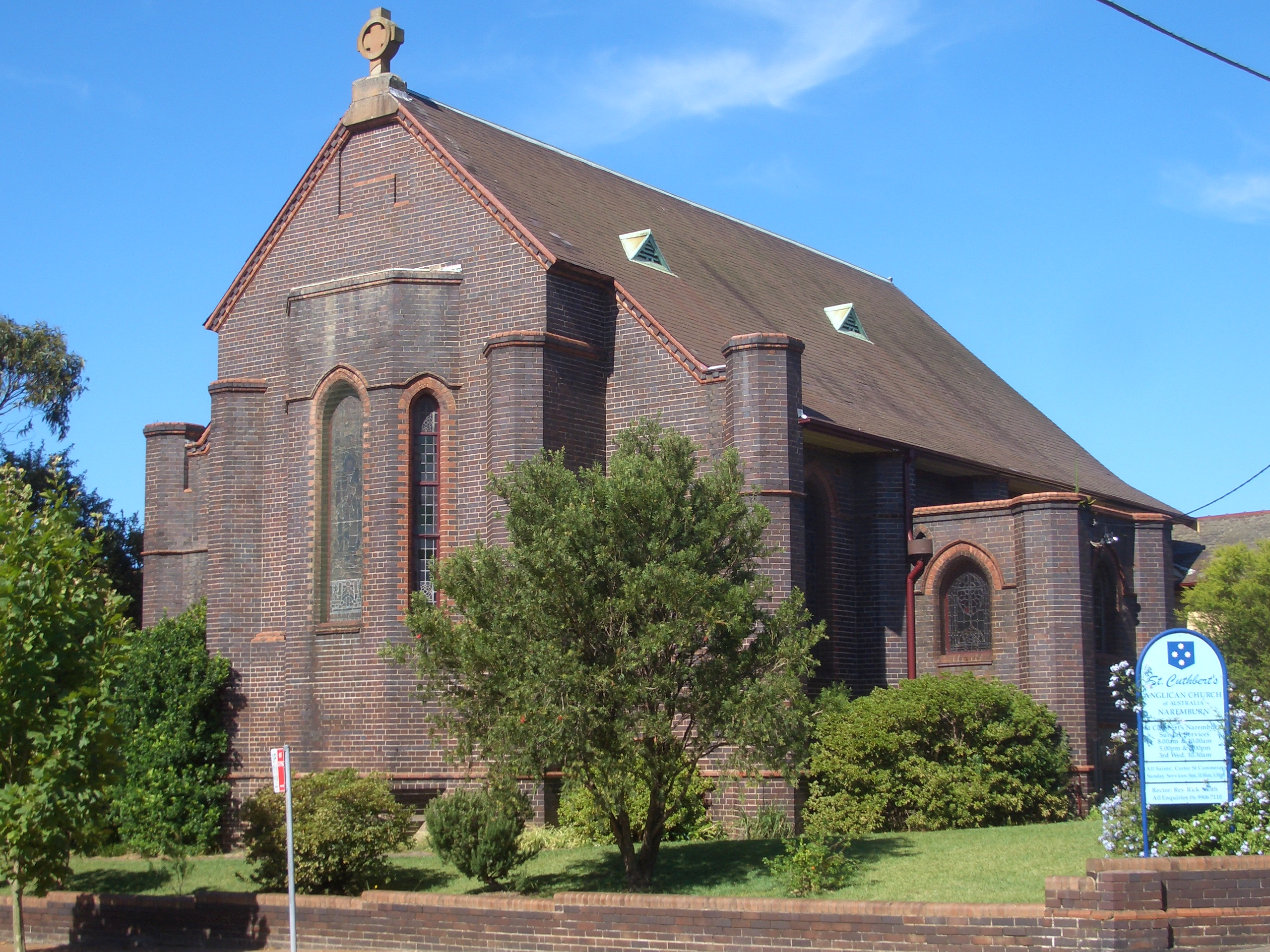
- St Cuthberts Anglican Church (Naremburn Cammeray Anglican Church)
Former primary schools
Until the 1990s, there were two primary schools operating — St Leonard’s Catholic Primary School, and, Naremburn Public School — both on Willoughby Road. The Catholic school shared the same site as the adjacent Catholic church, and, the public school was located opposite on Willoughby Road. Changing demographics and corresponding lack of demand lead to both schools being closed within five years of each other. The former Catholic school is now a creative arts learning centre. The former public school is now a housing development.
Gallery
-

St Cuthberts Anglican Church
-

Warringah Freeway
-

Willoughby Road
References
- ^ The Book of Sydney Suburbs, Compiled by Frances Pollon, Angus & Robertson Publishers, 1990, Published in Australia ISBN 0-207-14495-8, page 183
External links
- Naremburn/St Leonards - community profile
Suburbs of City of Willoughby · North Shore · Sydney Artarmon · Castlecrag · Castle Cove · Chatswood · Gore Hill · Middle Cove · Naremburn · Northbridge · Roseville · St Leonards · WilloughbyCoordinates: 33°49′09″S 151°11′59″E / 33.81925°S 151.19971°E
Categories:- Suburbs of Sydney
- Australian Aboriginal placenames
- Sydney geography stubs


Wikimedia Foundation. 2010.