- National Register of Historic Places listings in Story County, Iowa
-
 Location of Story County in Iowa
This is a list of the National Register of Historic Places listings in Story County, Iowa.
This is intended to be a complete list of the properties and districts on the National Register of Historic Places in Story County, Iowa, United States. Latitude and longitude coordinates are provided for many National Register properties and districts; these locations may be seen together in a Google map.[1]
There are 32 properties and districts listed on the National Register in the county, including 1 National Historic Landmark.
-
- This National Park Service list is complete through NPS recent listings posted November 10, 2011.[2]
Current listings
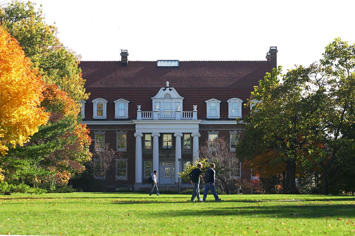
[3] Landmark name [4] Image Date listed Location City or town Summary 1 Agriculture Hall 
June 27, 1985 Iowa State University campus -- now known as "Catt Hall"
42°01′40″N 93°38′44″W / 42.027778°N 93.645556°WAmes 2 Alumni Hall 
November 16, 1978 Iowa State University campus -- now known as the "Enrollment Services Center"
42°01′30″N 93°38′56″W / 42.025°N 93.648889°WAmes 3 Ames High School October 24, 2002 515 Clark Ave.
42°01′35″N 93°37′01″W / 42.026389°N 93.616944°WAmes 4 Bandshell Park Historic District October 7, 1999 Bounded by Duff Ave., E. 5th St., E. 6th St., and Carroll Ave.
42°01′35″N 93°36′33″W / 42.026389°N 93.609167°WAmes 5 Briggs Terrace July 20, 1998 1204 H Ave.
42°01′06″N 93°26′18″W / 42.018333°N 93.438333°WNevada 6 Prof. J.L. Budd, Sarah M., and Etta Budd House August 8, 2001 804 Kellogg Ave.
42°01′16″N 93°36′49″W / 42.021111°N 93.613611°WAmes 7 Calamus Creek Bridge May 15, 1998 325th St. over Calamus Creek
41°53′04″N 93°22′54″W / 41.884444°N 93.381667°WMaxwell 8 Christian Petersen Courtyard Sculptures, and Dairy Industry Building 
April 7, 1987 Wallace Rd., between Beach and Union Dr. on the Iowa State University campus - now known as the 'Food Sciences' building
42°01′37″N 93°38′34″W / 42.026944°N 93.642778°WAmes 9 Delta Upsilon Chapter House November 10, 2010 117 Ash Ave.
42°01′19″N 93°38′41″W / 42.021944°N 93.644722°WAmes 10 East Indian Creek Bridge May 15, 1998 260th St. over East Indian Creek
41°58′31″N 93°23′13″W / 41.975278°N 93.386944°WNevada 11 Edwards-Swayze House November 14, 1978 1110 9th St.
42°01′13″N 93°26′53″W / 42.020278°N 93.448056°WNevada 12 Engineering Hall 
January 10, 1983 Union Dr. on the Iowa State University campus -- now known as "Marston Hall"
42°01′32″N 93°39′03″W / 42.025556°N 93.650833°WAmes 13 Grand Auditorium and Hotel Block January 25, 1980 Broad St.
42°11′13″N 93°35′48″W / 42.186944°N 93.596667°WStory City 14 Henry T. and Emilie (Wiese) Henryson House April 20, 2005 619 Grad Ave.
42°11′16″N 93°36′12″W / 42.187778°N 93.603333°WStory City 15 Herschel-Spillman Two-Row Portable Menagerie Carousel June 6, 1986 North Park, Story St., and Grove Ave.
42°11′17″N 93°35′14″W / 42.188056°N 93.587222°WStory City 16 Keigley Branch Bridge 
May 15, 1998 550th St. over Keigley Branch
42°08′13″N 93°36′03″W / 42.136944°N 93.600833°WGilbert 17 Knapp-Wilson House 
October 15, 1966 Iowa State University campus
42°01′48″N 93°38′32″W / 42.03°N 93.642222°WAmes 18 Lincoln Township Mausoleum September 27, 2007 County Road E18 at the northern end of Pearl St.
42°09′53″N 93°17′44″W / 42.164722°N 93.295556°WLincoln Township 19 Gilmour B. and Edith Craig MacDonald House May 6, 1992 517 Ash St.
42°00′59″N 93°38′40″W / 42.016389°N 93.644444°WAmes 20 Marston Water Tower 
May 27, 1982 Iowa State University campus
42°01′37″N 93°39′03″W / 42.026944°N 93.650833°WAmes 21 Morrill Hall 
June 28, 1996 Morrill Rd., facing east toward the central campus of Iowa State University
42°01′38″N 93°38′52″W / 42.027222°N 93.647778°WAmes 22 Mulcahy Barn January 28, 2004 25623-710th Ave.
41°59′03″N 93°17′27″W / 41.984167°N 93.290833°WColo 23 Municipal Building May 2, 1997 420 Kellogg Ave.
42°01′35″N 93°36′47″W / 42.026389°N 93.613056°WAmes 24 Nevada Downtown Historic District 
May 9, 2003 Approximately 6th St. from I Ave. to M Ave.
42°01′18″N 93°27′08″W / 42.021681°N 93.452306°WNevada 25 Octagon Round Barn, Indian Creek Township 
June 30, 1986 Off County Road S14
41°57′00″N 93°27′06″W / 41.95°N 93.451667°WIndian Creek Township 26 Old Town Historic District January 2, 2004 Between Duff and Clark Aves., and 7th and 9th Sts.
42°01′46″N 93°37′18″W / 42.029444°N 93.621667°WAmes 27 Pleasant Grove Community Church and Cemetery May 28, 2010 56971 170th St.
42°06′23″N 93°33′41″W / 42.106386°N 93.5614°WAmes 28 Roosevelt School March 2, 2010 921 9th St.
42°01′49″N 93°37′24″W / 42.030217°N 93.623206°WAmes 29 Sheldahl First Norwegian Evangelical Lutheran Church 
May 11, 1984 3rd and Willow Sts.
41°51′58″N 93°41′42″W / 41.866111°N 93.695°WSheldahl 30 Sigma Sigma-Delta Chi Fraternity House July 10, 2008 405 Hayward Ave.
42°01′09″N 93°39′06″W / 42.01905°N 93.65176°WAmes 31 Skunk River Bridge May 15, 1998 255th St. over the Skunk River
41°59′12″N 93°35′13″W / 41.986667°N 93.586944°WAmes 32 William Kennison Wood House June 5, 1995 Off County Road S27
41°55′15″N 93°24′22″W / 41.920833°N 93.406111°WIowa Center See also
References
- ^ The latitude and longitude information provided in this table was derived originally from the National Register Information System, which has been found to be fairly accurate for about 99% of listings. For about 1% of NRIS original coordinates, experience has shown that one or both coordinates are typos or otherwise extremely far off; some corrections may have been made. A more subtle problem causes many locations to be off by up to 150 yards, depending on location in the country: most NRIS coordinates were derived from tracing out latitude and longitudes off of USGS topographical quadrant maps created under North American Datum of 1927, which differs from the current, highly accurate GPS system used by Google maps. Chicago is about right, but NRIS longitudes in Washington are higher by about 4.5 seconds, and are lower by about 2.0 seconds in Maine. Latitudes differ by about 1.0 second in Florida. Some locations in this table may have been corrected to current GPS standards.
- ^ "National Register of Historic Places: Weekly List Actions". National Park Service, United States Department of the Interior. Retrieved on November 10, 2011.
- ^ Numbers represent an ordering by significant words. Various colorings, defined here, differentiate National Historic Landmark sites and National Register of Historic Places Districts from other NRHP buildings, structures, sites or objects.
- ^ "National Register Information System". National Register of Historic Places. National Park Service. . http://nrhp.focus.nps.gov/natreg/docs/All_Data.html.
U.S. National Register of Historic Places Topics Lists by states Alabama • Alaska • Arizona • Arkansas • California • Colorado • Connecticut • Delaware • Florida • Georgia • Hawaii • Idaho • Illinois • Indiana • Iowa • Kansas • Kentucky • Louisiana • Maine • Maryland • Massachusetts • Michigan • Minnesota • Mississippi • Missouri • Montana • Nebraska • Nevada • New Hampshire • New Jersey • New Mexico • New York • North Carolina • North Dakota • Ohio • Oklahoma • Oregon • Pennsylvania • Rhode Island • South Carolina • South Dakota • Tennessee • Texas • Utah • Vermont • Virginia • Washington • West Virginia • Wisconsin • WyomingLists by territories Lists by associated states Other  Category:National Register of Historic Places •
  Portal:National Register of Historic Places
Municipalities and communities of Story County, Iowa County seat: Nevada Cities 
Townships Footnotes ‡This populated place also has portions in an adjacent county or counties
Categories:- National Register of Historic Places in Iowa by county
- Story County, Iowa
- Buildings and structures in Story County, Iowa
-


Wikimedia Foundation. 2010.