- National Register of Historic Places listings in Grant County, Indiana
-
 Location of Grant County in Indiana
This is a list of the National Register of Historic Places listings in Grant County, Indiana.
This is intended to be a complete list of the properties and districts on the National Register of Historic Places in Grant County, Indiana, United States. Latitude and longitude coordinates are provided for many National Register properties and districts; these locations may be seen together in a Google map.[1]
There are 16 properties and districts listed on the National Register in the county, including 1 National Historic Landmark.
-
- This National Park Service list is complete through NPS recent listings posted November 10, 2011.[2]
Current listings
[3] Landmark name [4] Image Date listed Location City or town Summary 1 Baldwin Addition Historic District September 9, 1999 Roughly along Main St., between 2nd and 4th Sts.
40°25′06″N 85°39′00″W / 40.418333°N 85.65°WFairmount 2 Cumberland Covered Bridge 
May 22, 1978 CR 1000 over the Mississinewa River
40°23′19″N 85°29′05″W / 40.388611°N 85.484722°WMatthews 3 Fairmount Commercial Historic District March 12, 1999 205-101 and 124-102 S. Main, 102-124 and 101-123 N. Main, 107 W. 1st, and 119-117 W. Washington
40°24′57″N 85°39′02″W / 40.415833°N 85.650556°WFairmount 4 Gas City High School March 5, 2004 400 E. South A St.
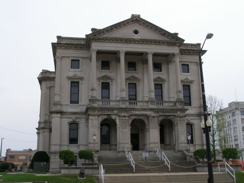
40°29′12″N 85°36′28″W / 40.486667°N 85.607778°WGas City 5 Grant County Jail and Sheriff's Residence November 19, 1990 215 E. 3rd St.
40°33′33″N 85°39′28″W / 40.559167°N 85.657778°WMarion 6 Abijah C. Jay House March 27, 2003 118 W. 7th St.
40°33′18″N 85°39′38″W / 40.555°N 85.660556°WMarion 7 Israel Jenkins House March 26, 2003 7453 E 400 S
40°29′42″N 85°31′54″W / 40.495061°N 85.531539°WMarion 8 Marion Branch, National Home for Disabled Volunteer Soldiers Historic District August 2, 1999 1700 E. 38th St.
40°31′12″N 85°38′02″W / 40.52°N 85.633889°WMarion 9 Marion Downtown Commercial Historic District 
March 17, 1994 Roughly bounded by 7th, 2nd, Branson, and Gallatin Sts.
40°33′27″N 85°39′35″W / 40.5575°N 85.659722°WMarion 10 J.W. Patterson House November 14, 1979 203 and 209 E. Washington St.
40°24′56″N 85°38′56″W / 40.415556°N 85.648889°WFairmount 209 Washington represents a boundary increase of January 18, 1985 11 Aaron Swayzee House June 16, 1983 224 N. Washington St.
40°33′50″N 85°39′32″W / 40.563889°N 85.658889°WMarion 12 Thompson-Ray House September 24, 2009 407 E. Main St.
40°29′16″N 85°36′32″W / 40.487908°N 85.608808°WGas City 13 George, Jr. and Marie Daugherty Webster House June 17, 1992 926 S. Washington St.
40°33′09″N 85°39′36″W / 40.5525°N 85.66°WMarion 14 West Ward School December 19, 1985 210 W. North A St.
40°29′21″N 85°37′02″W / 40.489167°N 85.617222°WGas City 15 J. Woodrow Wilson House August 11, 1988 723 W. 4th St.
40°33′27″N 85°40′13″W / 40.5575°N 85.670278°WMarion 16 Woodside 
December 24, 1997 1119 Overlook Rd.
40°35′20″N 85°40′28″W / 40.588889°N 85.674444°WMarion A Frank Lloyd Wright-designed Usonion home See also
- List of National Historic Landmarks in Indiana
- National Register of Historic Places listings in Indiana
References
- ^ The latitude and longitude information provided in this table was derived originally from the National Register Information System, which has been found to be fairly accurate for about 99% of listings. For about 1% of NRIS original coordinates, experience has shown that one or both coordinates are typos or otherwise extremely far off; some corrections may have been made. A more subtle problem causes many locations to be off by up to 150 yards, depending on location in the country: most NRIS coordinates were derived from tracing out latitude and longitudes off of USGS topographical quadrant maps created under the North American Datum of 1927, which differs from the current, highly accurate WGS84 GPS system used by Google maps. Chicago is about right, but NRIS longitudes in Washington are higher by about 4.5 seconds, and are lower by about 2.0 seconds in Maine. Latitudes differ by about 1.0 second in Florida. Some locations in this table may have been corrected to current GPS standards.
- ^ "National Register of Historic Places: Weekly List Actions". National Park Service, United States Department of the Interior. Retrieved on November 10, 2011.
- ^ Numbers represent an ordering by significant words. Various colorings, defined here, differentiate National Historic Landmark sites and National Register of Historic Places Districts from other NRHP buildings, structures, sites or objects.
- ^ "National Register Information System". National Register of Historic Places. National Park Service. . http://nrhp.focus.nps.gov/natreg/docs/All_Data.html.
U.S. National Register of Historic Places Topics Lists by states Alabama • Alaska • Arizona • Arkansas • California • Colorado • Connecticut • Delaware • Florida • Georgia • Hawaii • Idaho • Illinois • Indiana • Iowa • Kansas • Kentucky • Louisiana • Maine • Maryland • Massachusetts • Michigan • Minnesota • Mississippi • Missouri • Montana • Nebraska • Nevada • New Hampshire • New Jersey • New Mexico • New York • North Carolina • North Dakota • Ohio • Oklahoma • Oregon • Pennsylvania • Rhode Island • South Carolina • South Dakota • Tennessee • Texas • Utah • Vermont • Virginia • Washington • West Virginia • Wisconsin • WyomingLists by territories Lists by associated states Other Municipalities and communities of Grant County, Indiana Cities 
Towns Townships Unincorporated
communitiesArcana | Brookhaven | Cole | Dooville | Doyle Ferguson | Farrville | Fox | Hackleman | Hanfield | Herbst | Home Corner | Jadden | Jalapa | Kiley | Lake Wood | Landess | Michaelsville | Mier | Normal | Point Isabel | Radley | Rigdon | Roseburg | Shadeland | Shady Hills | Sims | Weaver
Footnotes ‡This populated place also has portions in an adjacent county or counties
Categories:- Grant County, Indiana
- National Register of Historic Places in Indiana by county
-


Wikimedia Foundation. 2010.