- National Register of Historic Places listings in Guernsey County, Ohio
-
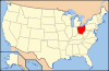
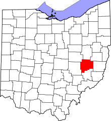 Location of Guernsey County in Ohio
This is a list of the National Register of Historic Places listings in Guernsey County, Ohio.
This is intended to be a complete list of the properties and districts on the National Register of Historic Places in Guernsey County, Ohio, United States. The locations of National Register properties and districts for which the latitude and longitude coordinates are included below, may be seen in a Google map.[1]
There are 21 properties and districts listed on the National Register in the county, including 1 National Historic Landmark.
-
- This National Park Service list is complete through NPS recent listings posted November 10, 2011.[2]
Current listings
[3] Landmark name [4] Image Date listed Location City or town Summary 1 Barnett-Criss House 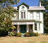
December 8, 1978 Southwest of Cambridge off U.S. Route 22
39°59′59″N 81°41′33″W / 39.999722°N 81.6925°WWestland Township 2 Berwick Hotel 
March 29, 1983 600-615 Wheeling Ave.
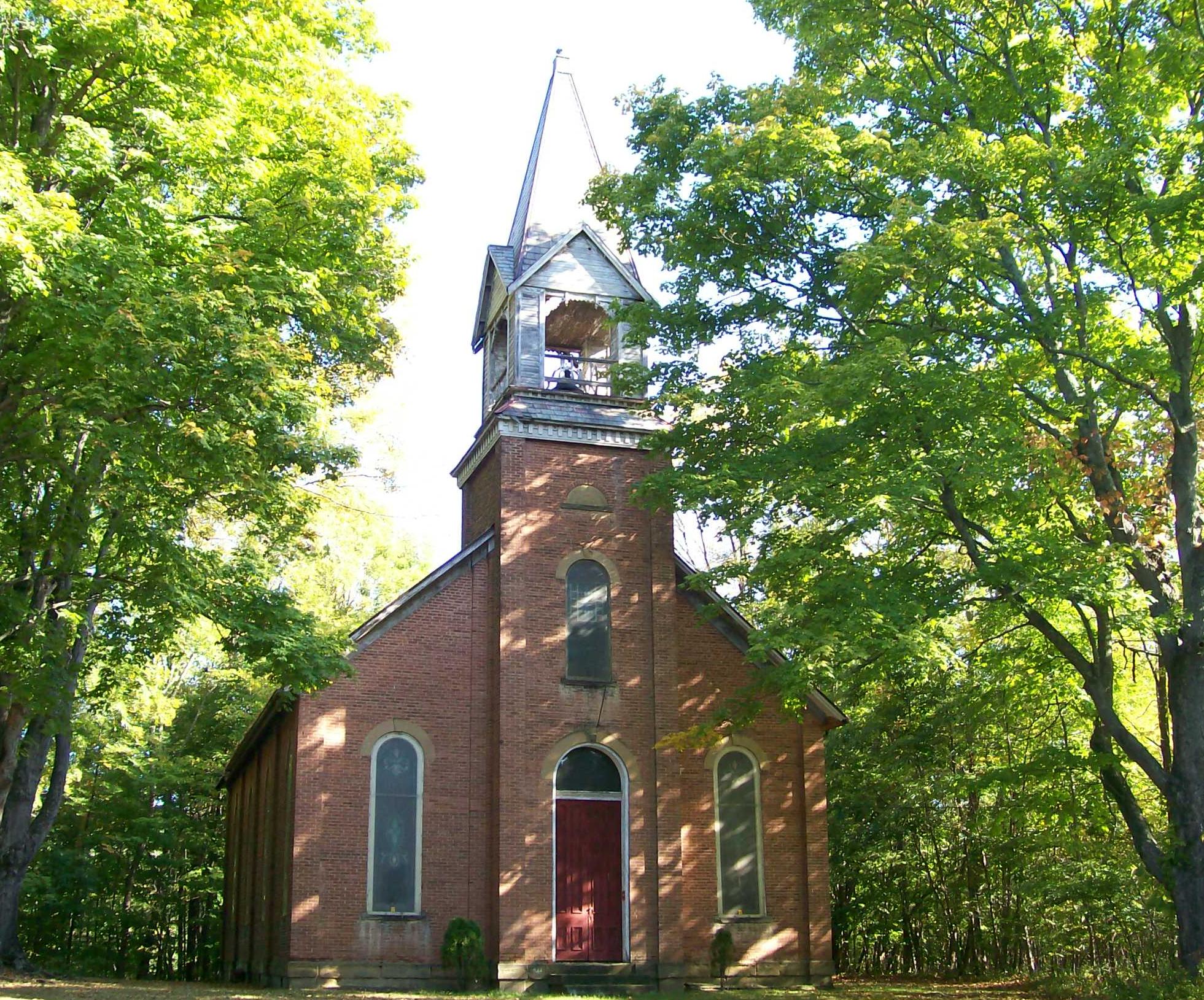
40°01′30″N 81°35′36″W / 40.025°N 81.593333°WCambridge 3 Bethel Methodist Episcopal Church 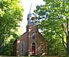
November 24, 1978 West of Pleasant City on State Route 146
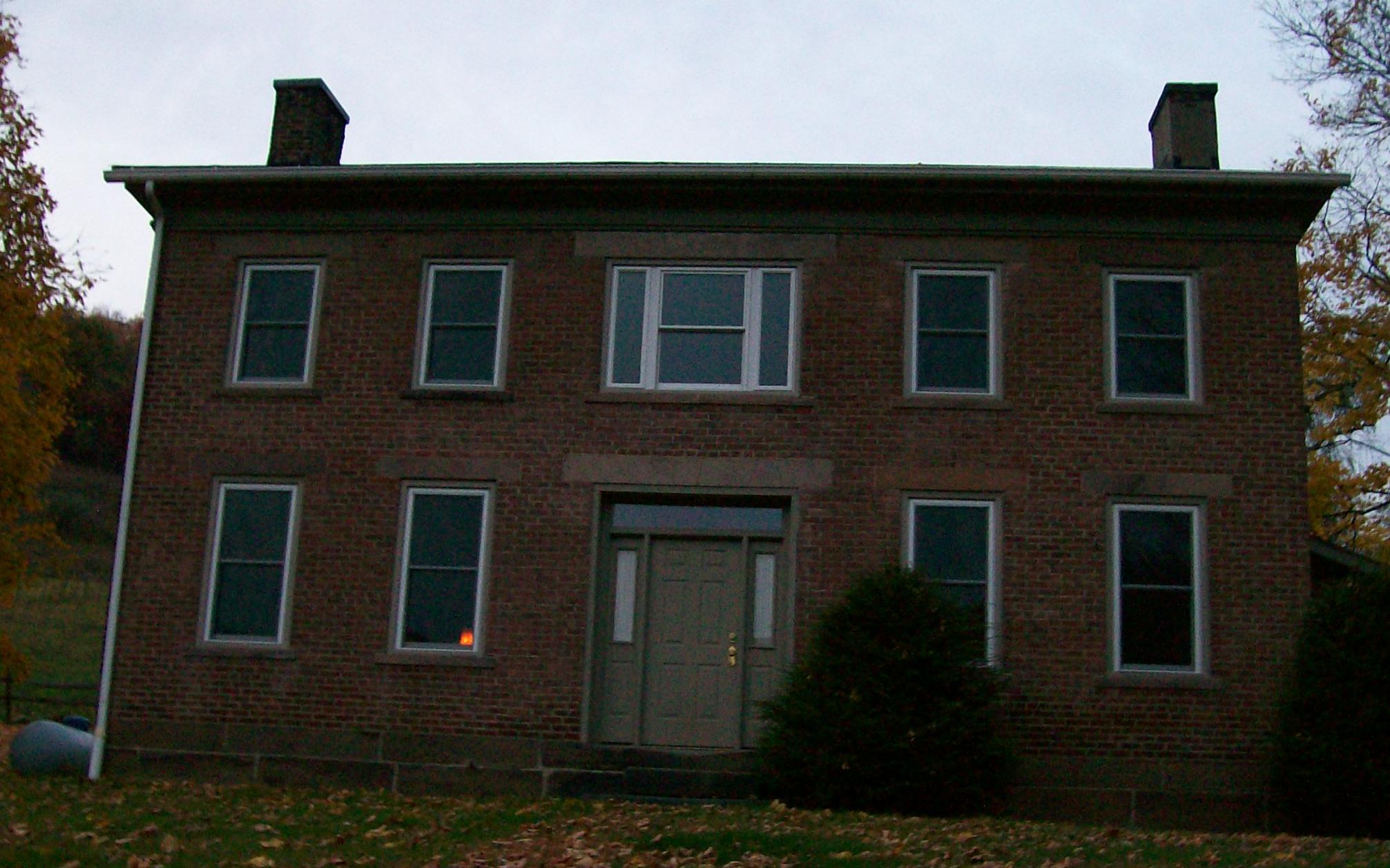
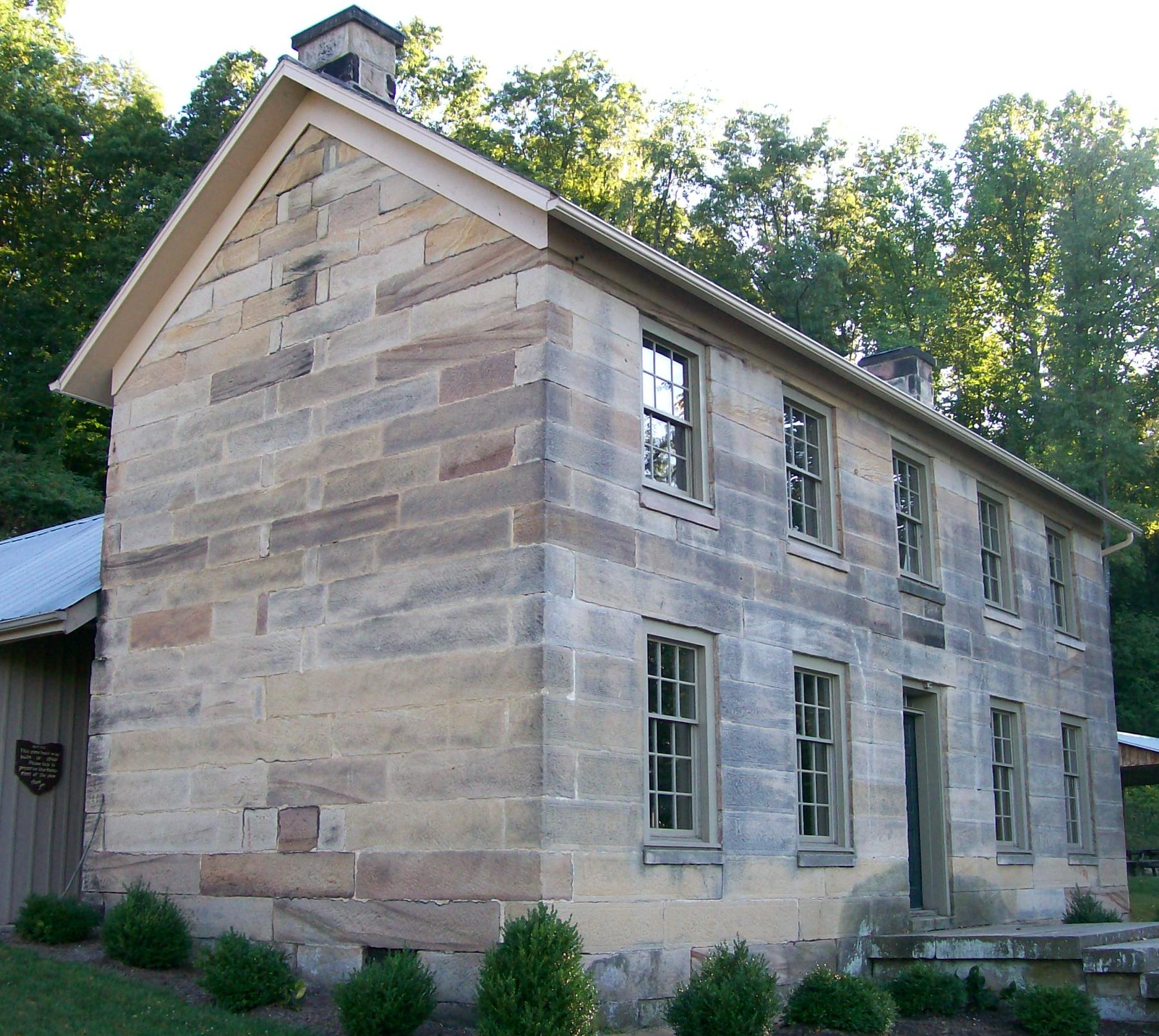
39°54′04″N 81°35′01″W / 39.901111°N 81.583611°WValley Township 4 Booth Homestead 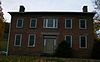
September 6, 1979 North of Guernsey at 8433 Township Road 838
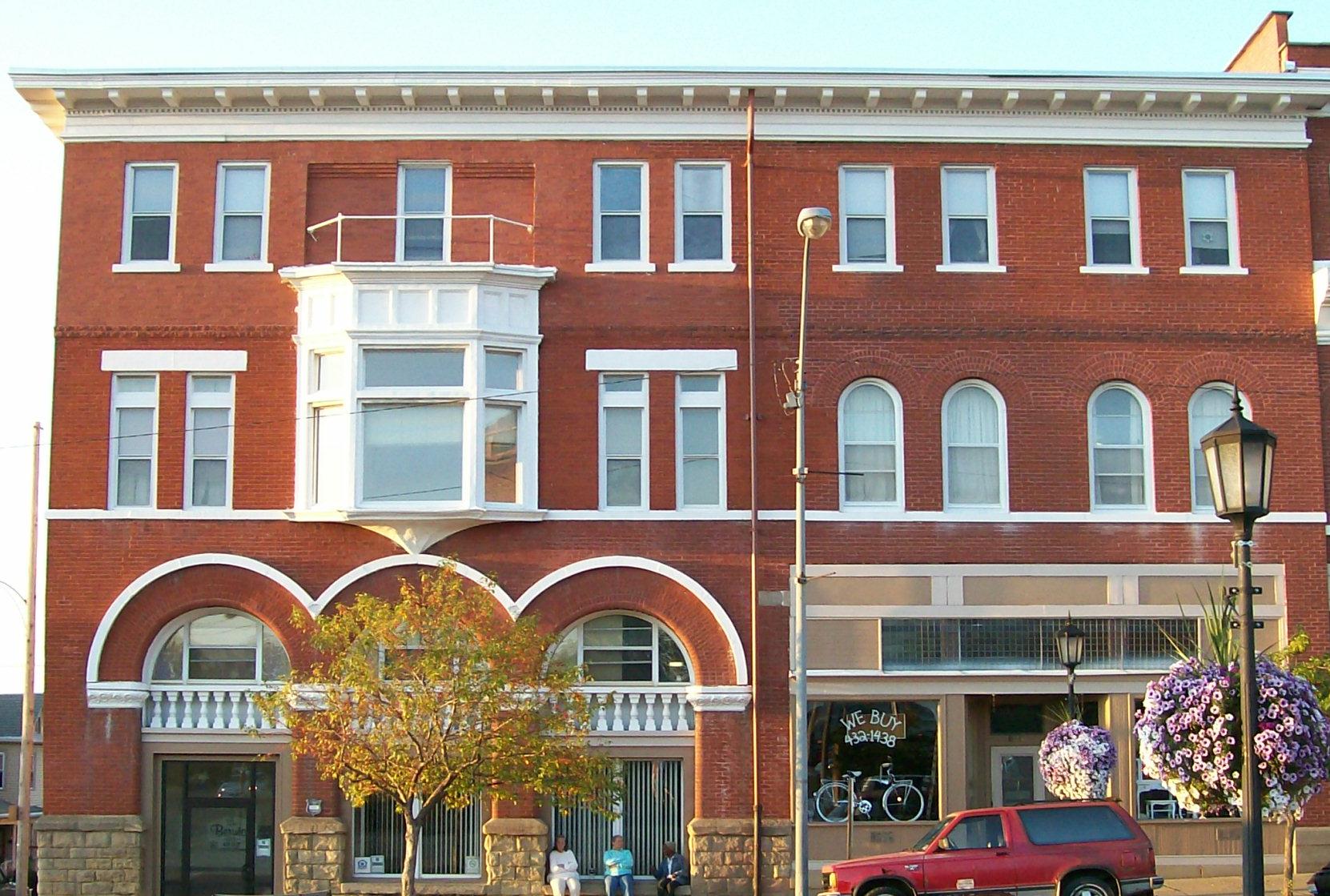
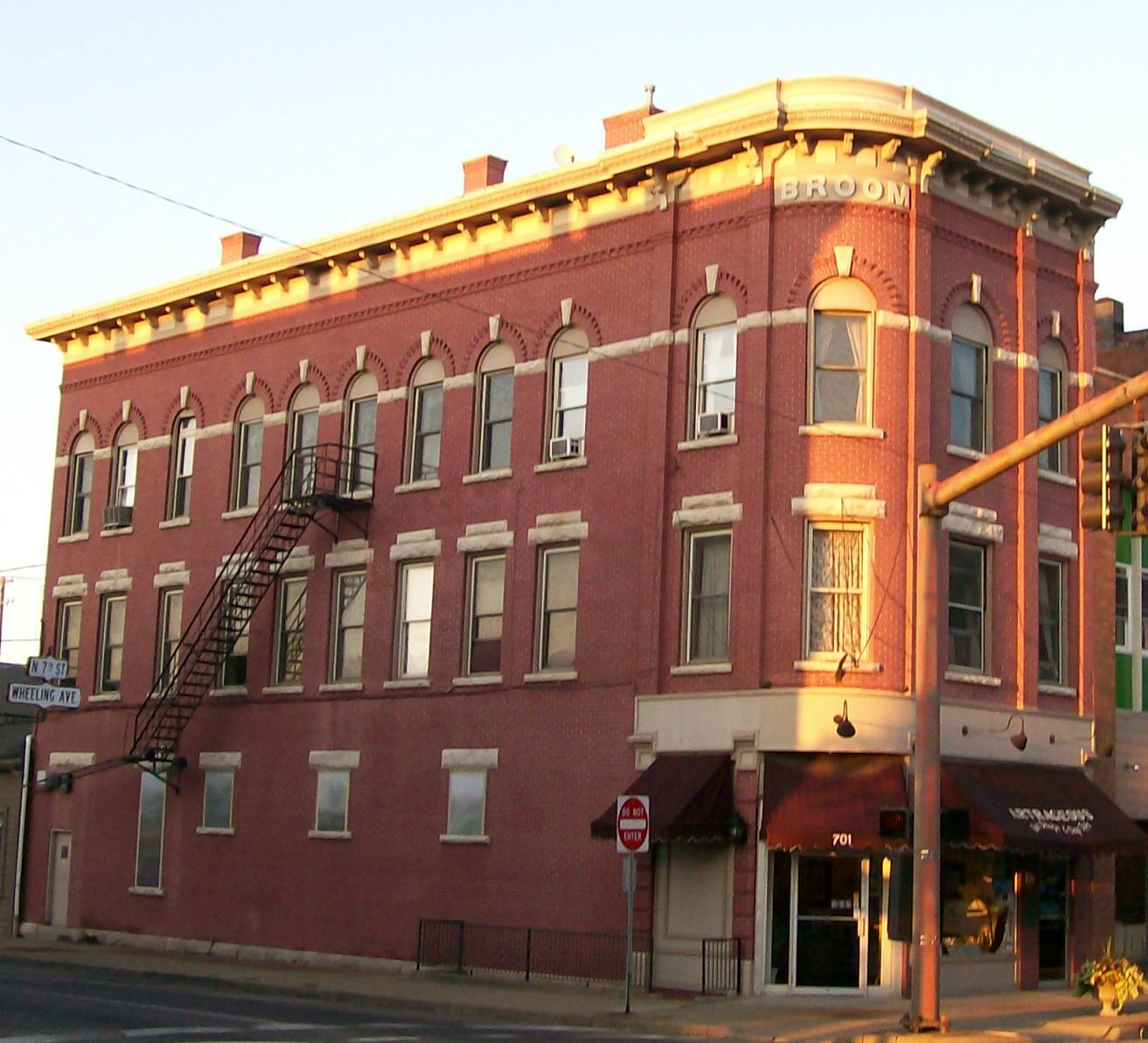
40°12′23″N 81°34′37″W / 40.206389°N 81.576944°WWheeling Township 5 Broom Building 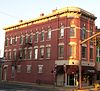
February 17, 1983 701 Wheeling Ave.
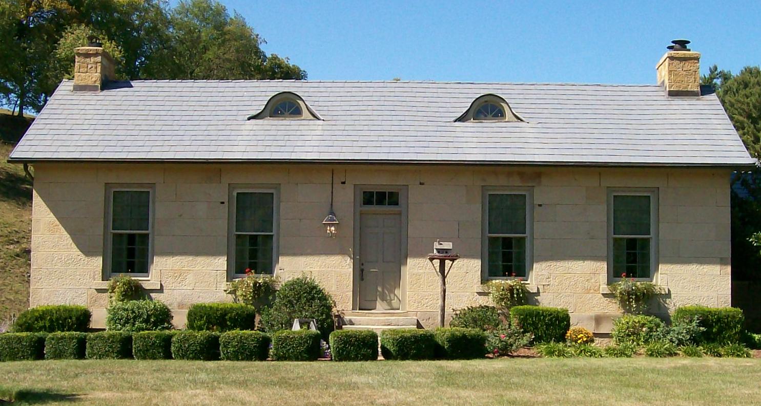
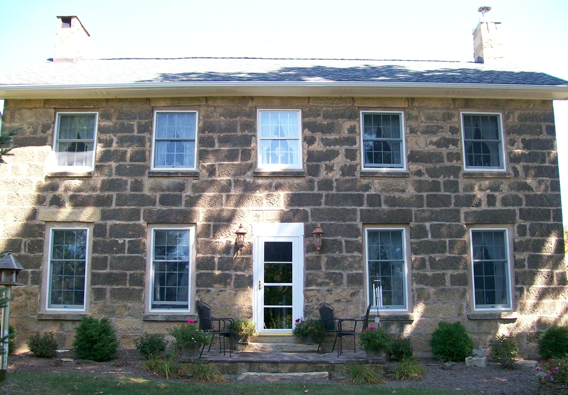
40°01′30″N 81°35′31″W / 40.025°N 81.591944°WCambridge 6 Broom-Braden Stone House 
July 18, 1980 North of Cambridge at 66715 Reed Rd.
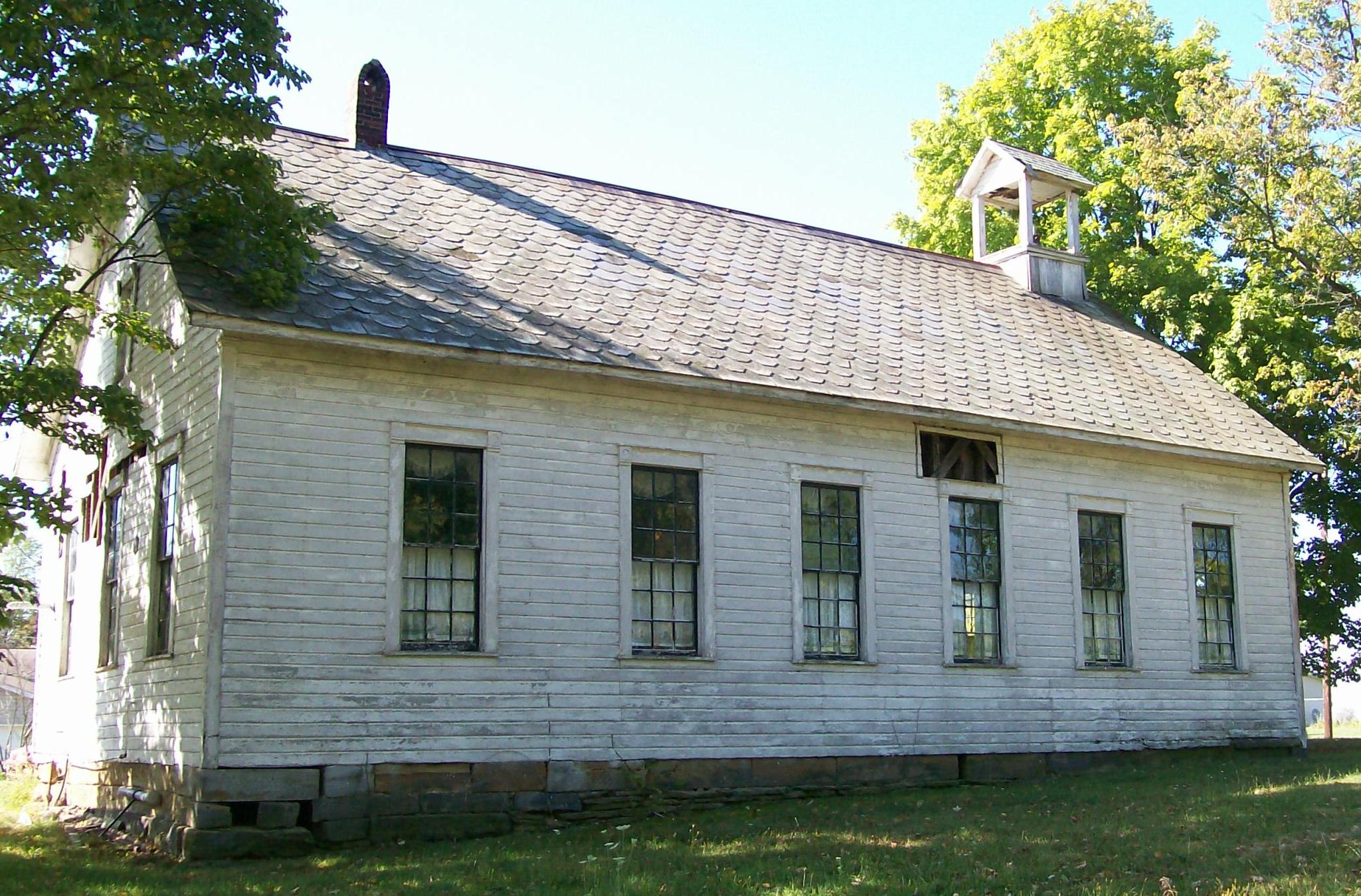
40°04′12″N 81°33′31″W / 40.07°N 81.558611°WCambridge Township 7 Claysville School 
February 22, 1979 North of Claysville on Claysville Rd.
39°56′18″N 81°40′16″W / 39.938333°N 81.671111°WWestland Township 8 Ebenezer Finley House 
February 28, 1986 East of Buffalo on State Route 313
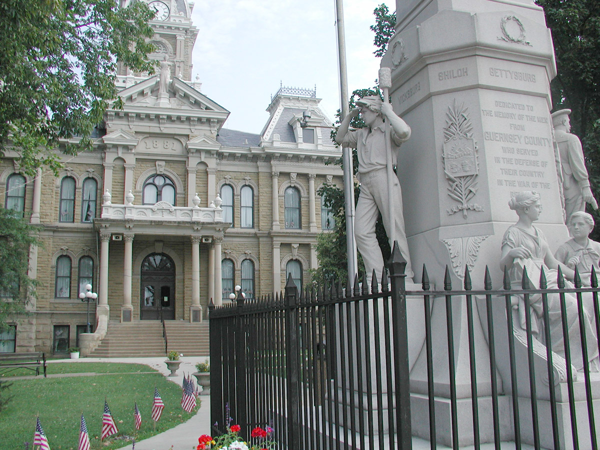
39°55′28″N 81°29′37″W / 39.924444°N 81.493611°WValley Township Destroyed 9 Guernsey County Courthouse 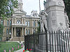
July 16, 1973 Courthouse Sq.
40°01′30″N 81°35′14″W / 40.025°N 81.587222°WCambridge 10 Samuel Harper Stone House 
January 3, 1980 North of New Concord on Peters Creek Rd.
40°02′00″N 81°43′12″W / 40.033333°N 81.72°WAdams Township 11 Kennedy Stone House 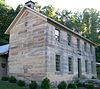
October 3, 1975 Southeast of North Salem in Salt Fork State Park
40°07′41″N 81°29′59″W / 40.128056°N 81.499722°WJefferson Township 12 McCracken-McFarland House 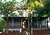
February 16, 1979 216 N. 8th St.
40°01′36″N 81°35′24″W / 40.026667°N 81.59°WCambridge 13 McCracken-Scott House 
December 20, 1978 819 Steubenville Ave.
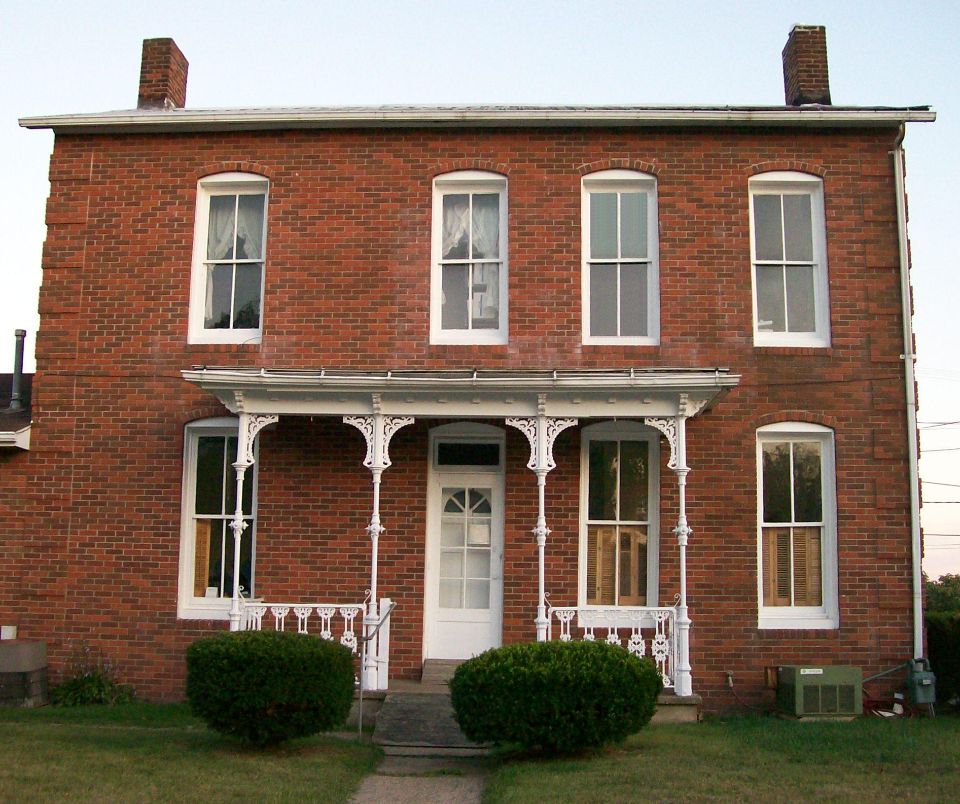
40°01′35″N 81°35′22″W / 40.026389°N 81.589444°WCambridge 14 McCreary-Burnworth House 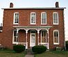
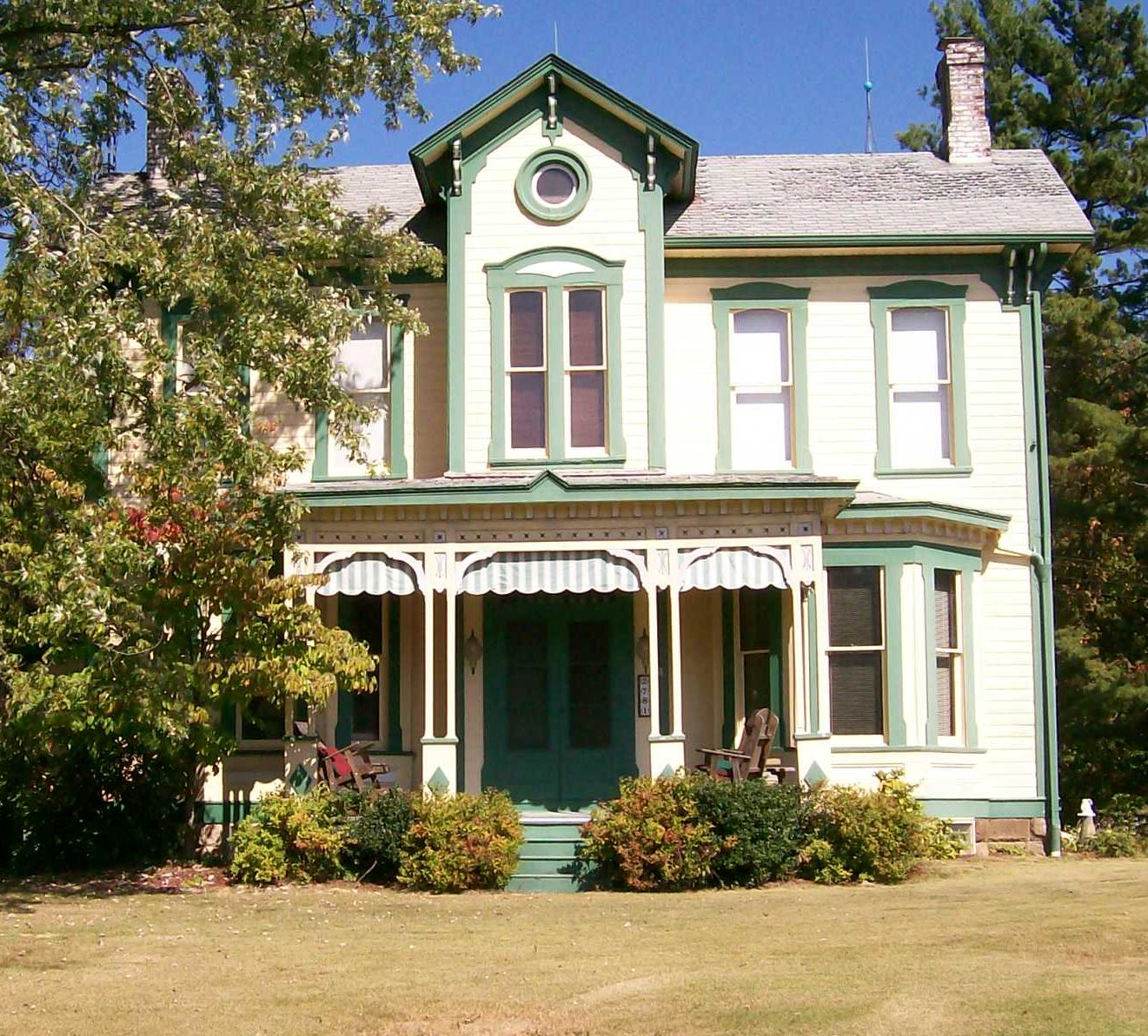
March 12, 1982 220 Highland Ave.
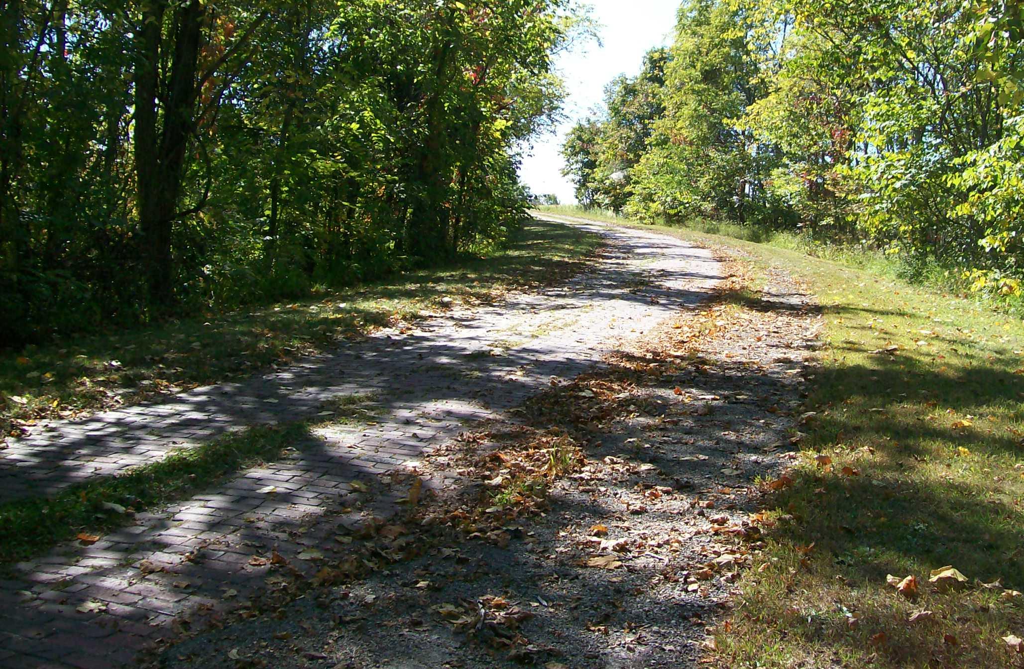
40°01′34″N 81°34′53″W / 40.026111°N 81.581389°WCambridge 15 National Road 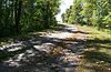
August 23, 1985 Township Road 650, east of Cambridge
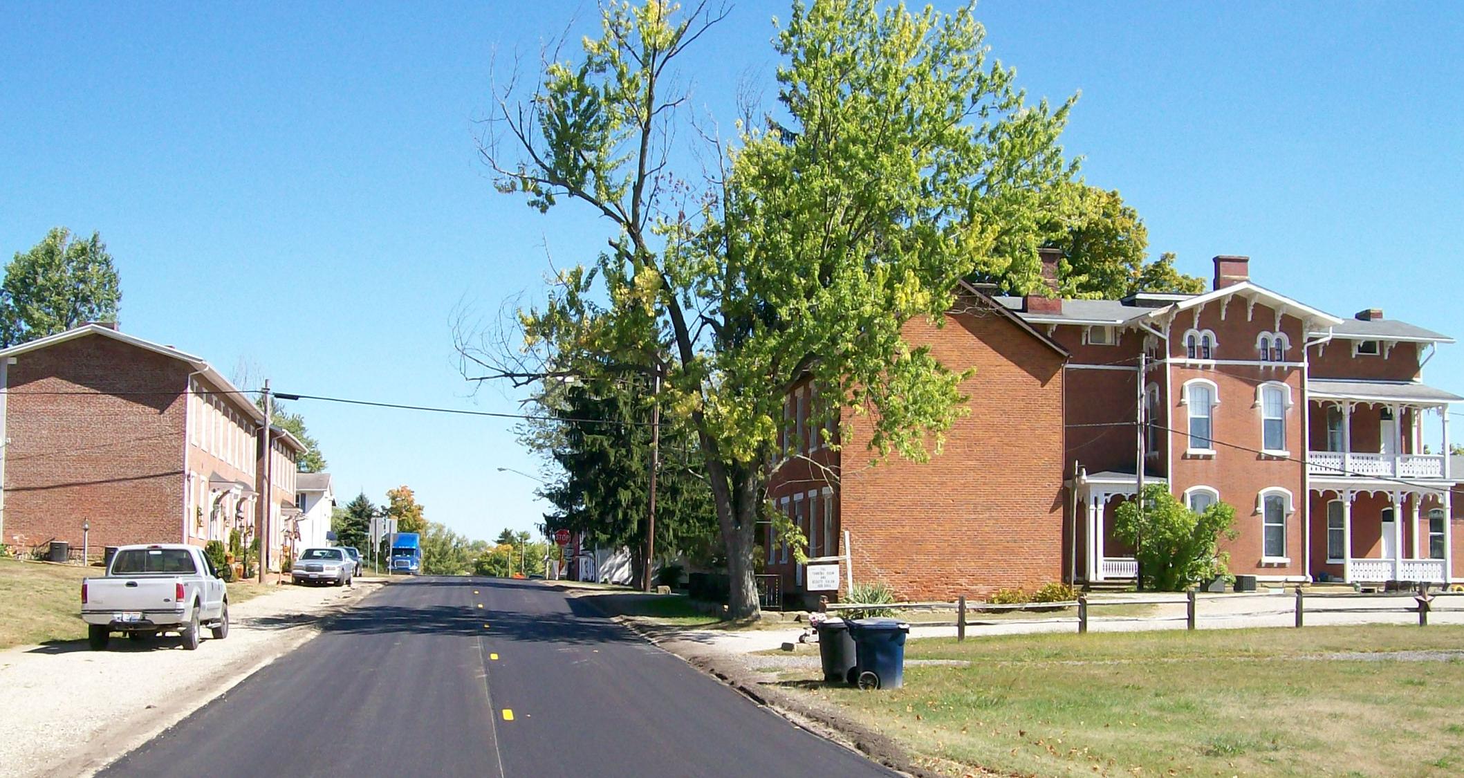
40°01′37″N 81°30′09″W / 40.026944°N 81.5025°WCenter Township 16 Old Washington Historic District 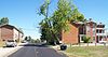
May 29, 1975 Both sides of Main St.
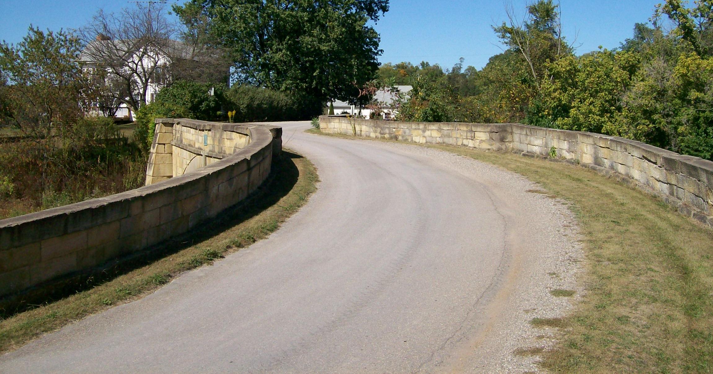
40°02′18″N 81°26′35″W / 40.038333°N 81.443056°WOld Washington 17 S Bridge, National Road 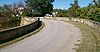
October 15, 1966 4 mi (6.4 km) east of Old Washington on U.S. Route 40
40°02′43″N 81°22′27″W / 40.045278°N 81.374167°WWills Township 18 Peter B. Sarchet House 
February 22, 1979 North of Cambridge on Oldham Rd.
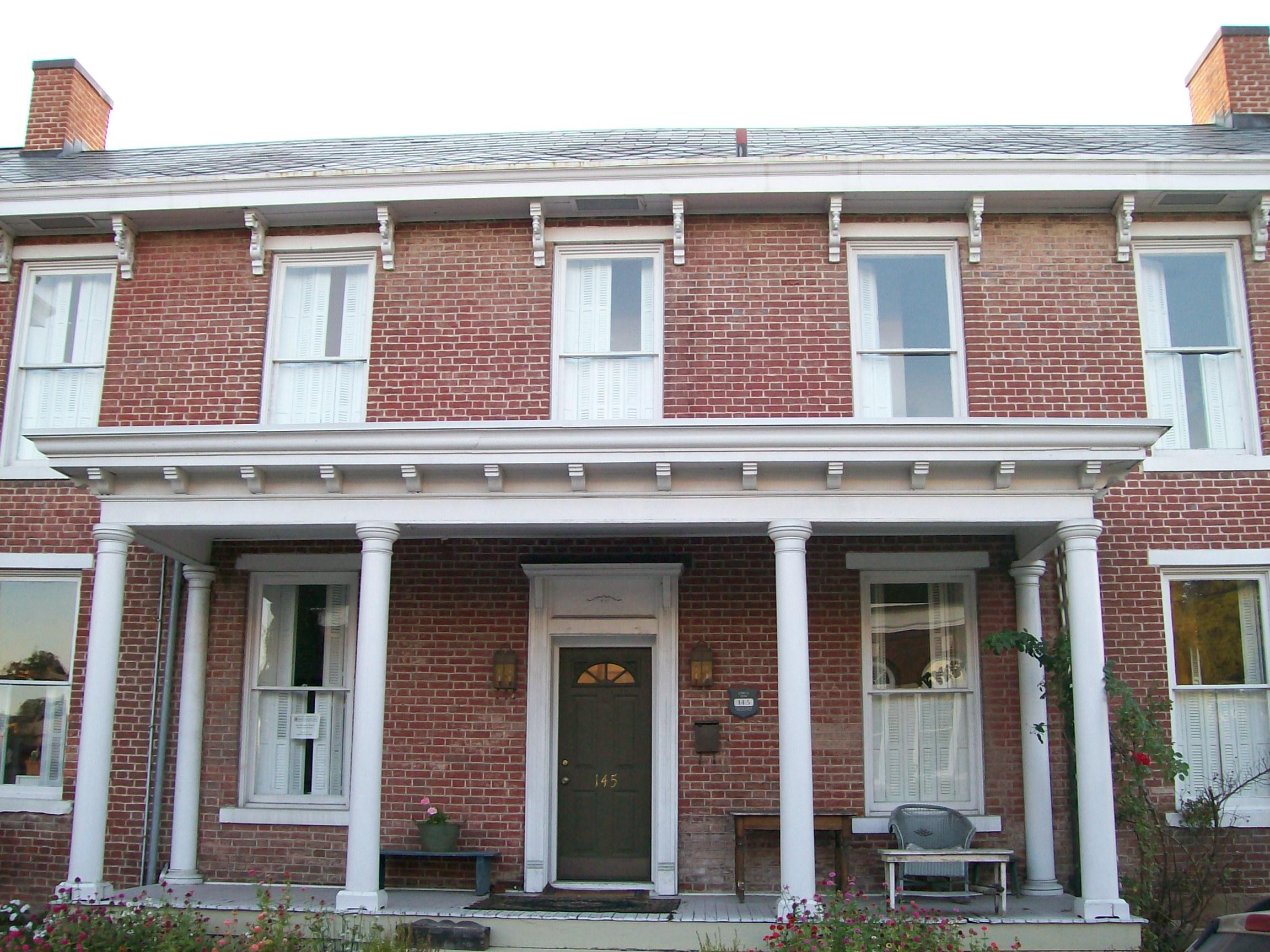
40°05′02″N 81°35′13″W / 40.083889°N 81.586944°WCambridge Township 19 Sarchet-Burgess House 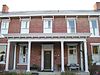
May 21, 1987 145 W. 8th St.
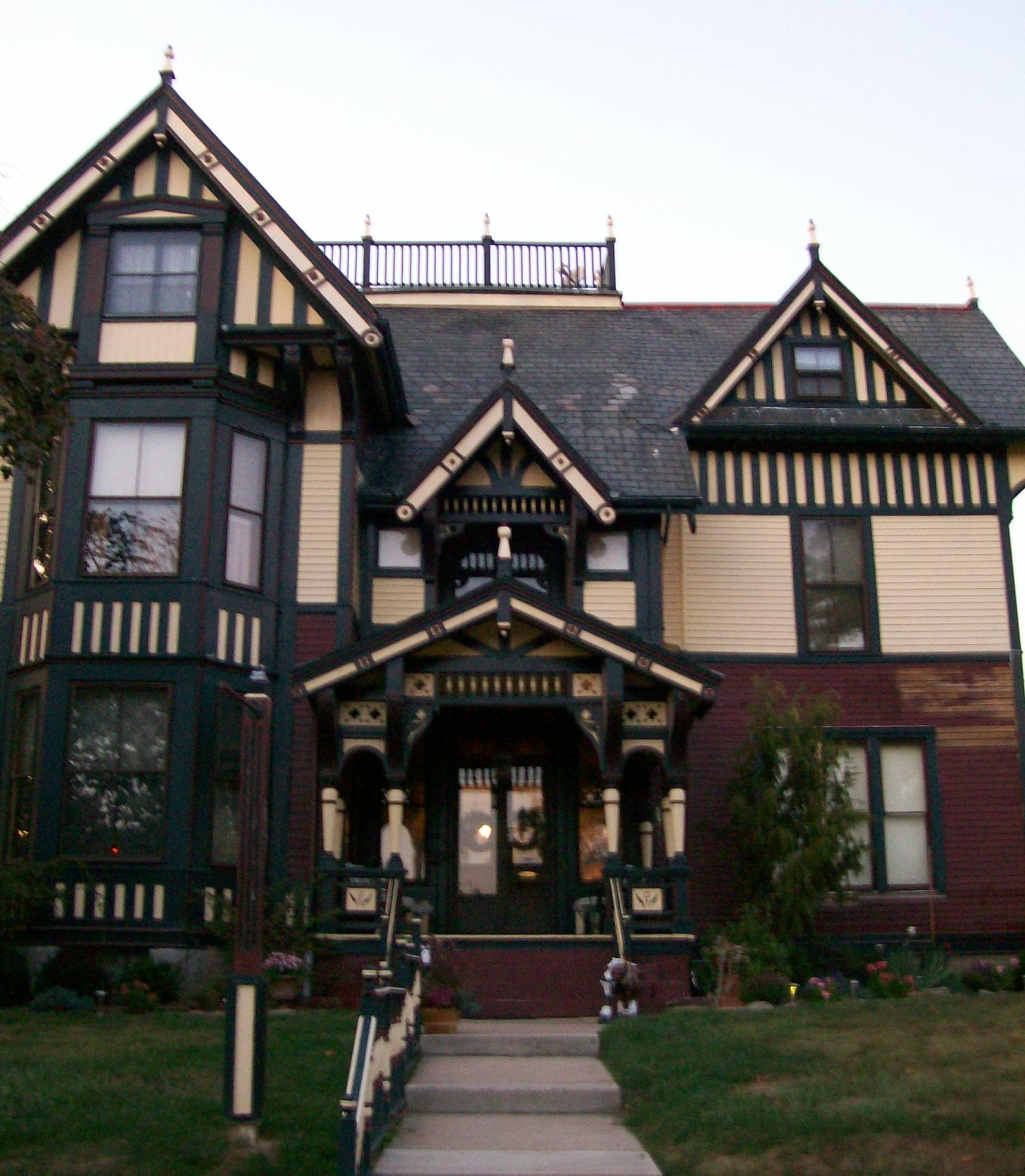
40°01′33″N 81°35′26″W / 40.025833°N 81.590556°WCambridge 20 Colonel Joseph Taylor House 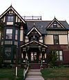
August 29, 2008 633 Upland Rd.
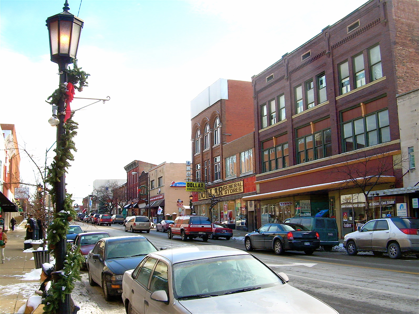
40°02′00″N 81°35′33″W / 40.033386°N 81.592367°WCambridge 21 Wheeling Avenue Historic District 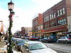
May 11, 1987 Roughly bounded by Steubenville, 10th, Wheeling, and 4th Aves.
40°01′29″N 81°35′27″W / 40.024833°N 81.590969°WCambridge See also
References
- ^ The latitude and longitude information provided in this table was derived originally from the National Register Information System, which has been found to be fairly accurate for about 99% of listings. For about 1% of NRIS original coordinates, experience has shown that one or both coordinates are typos or otherwise extremely far off; some corrections may have been made. A more subtle problem causes many locations to be off by up to 150 yards, depending on location in the country: most NRIS coordinates were derived from tracing out latitude and longitudes off of USGS topographical quadrant maps created under the North American Datum of 1927, which differs from the current, highly accurate WGS84 GPS system used by Google maps. Chicago is about right, but NRIS longitudes in Washington are higher by about 4.5 seconds, and are lower by about 2.0 seconds in Maine. Latitudes differ by about 1.0 second in Florida. Some locations in this table may have been corrected to current GPS standards.
- ^ "National Register of Historic Places: Weekly List Actions". National Park Service, United States Department of the Interior. Retrieved on November 10, 2011.
- ^ Numbers represent an ordering by significant words. Various colorings, defined here, differentiate National Historic Landmark sites and National Register of Historic Places Districts from other NRHP buildings, structures, sites or objects.
- ^ "National Register Information System". National Register of Historic Places. National Park Service. . http://nrhp.focus.nps.gov/natreg/docs/All_Data.html.
National Register of Historic Places in Ohio Lists by county Adams • Allen • Ashland • Ashtabula • Athens • Auglaize • Belmont • Brown • Butler • Carroll • Champaign • Clark • Clermont • Clinton • Columbiana • Coshocton • Crawford • Cuyahoga • Darke • Defiance • Delaware • Erie • Fairfield • Fayette • Franklin • Fulton • Gallia • Geauga • Greene • Guernsey • Hamilton • Hancock • Hardin • Harrison • Henry • Highland • Hocking • Holmes • Huron • Jackson • Jefferson • Knox • Lake • Lawrence • Licking • Logan • Lorain • Lucas • Madison • Mahoning • Marion • Medina • Meigs • Mercer • Miami • Monroe • Montgomery • Morgan • Morrow • Muskingum • Noble • Ottawa • Paulding • Perry • Pickaway • Pike • Portage • Preble • Putnam • Richland • Ross • Sandusky • Scioto • Seneca • Shelby • Stark • Summit • Trumbull • Tuscarawas • Union • Van Wert • Vinton • Warren • Washington • Wayne • Williams • Wood • Wyandot
Lists by city Other lists Municipalities and communities of Guernsey County, Ohio City 
Villages Byesville | Cumberland | Fairview‡ | Lore City | Old Washington | Pleasant City | Quaker City | Salesville | Senecaville
Townships Unincorporated
communitiesBirmingham | Buffalo | Derwent | Kimbolton | Kipling
Footnotes ‡This populated place also has portions in an adjacent county or counties
Categories:- National Register of Historic Places in Ohio by county
- Guernsey County, Ohio
-


Wikimedia Foundation. 2010.