- Mount Tsurumi
-
Mount Tsurumi 鶴見岳 
Mount Tsurumi from Beppu City (November 2008)Elevation 1,374.5 m (4,510 ft) Listing List of mountains and hills of Japan by height Pronunciation [tsuɽumidake] Location Location Beppu, Ōita, Japan Coordinates 33°17′12″N 131°25′47″E / 33.28667°N 131.42972°E Topo map Geographical Survey Institute 25000:1 別府東 Geology Type Stratovolcano Mount Tsurumi (鶴見岳 Tsurumidake) is a 1,374.5 m (4,510 ft) volcano in Beppu, Ōita, Japan.
Contents
Outline
Mount Tsurumi is a Stratovolcano. It has several peaks, including, Mount Kuranoto, Mount Uchi, Mount Garan. This mountain is one of Japan 300 mountains, and a part of Aso Kujū National Park.
Route
The easiest way to reach to the top of Mount Tsurumi is to use Kintetsu Beppu Ropeway. When walking up to the top, it takes about two hours from Toriimae Bus Stop and two and half hours from Higashi Tozanguchi Bus Stop.
Access
- Tsurumi Sanjo Station
- Toriimae Bus Stop
- Higashi Tozanguchi Bus Stop
Gallery
-

Mount Tsurumi from Mount Yufu (04/2009)
-

Mount Tsurumi in the morning (11/2008)
-

Mount Tsurumi from west (04/2009)
-

The top of Mount Tsurumi (04/2009)
-

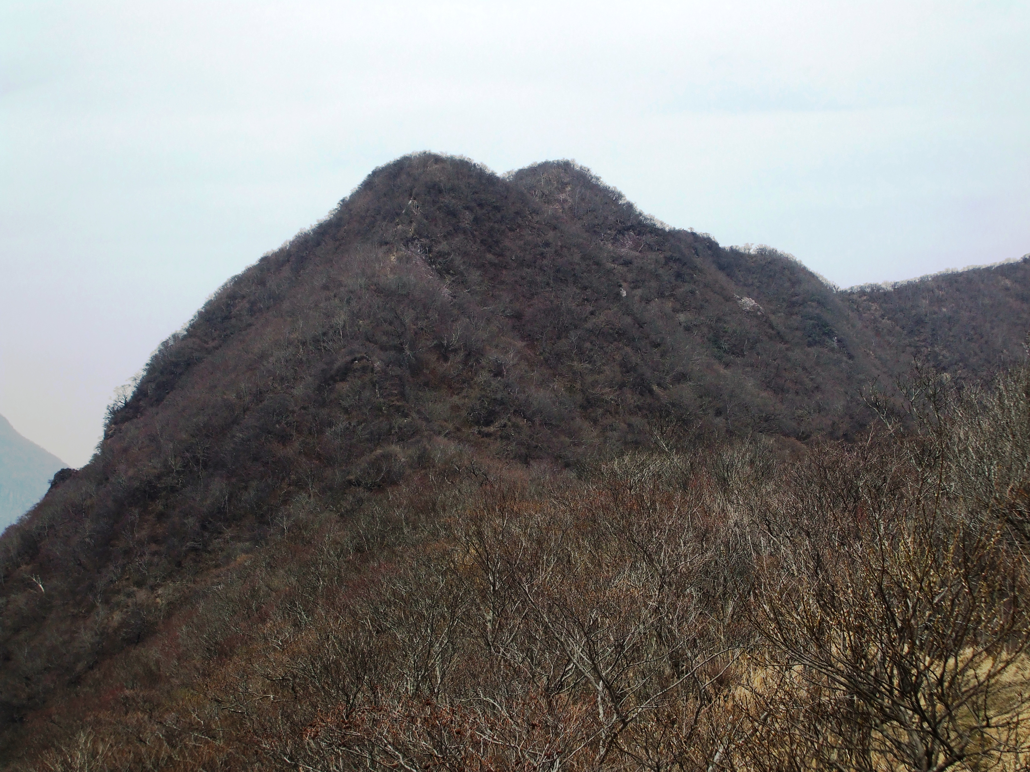
Mount Kuranoto of Tsurumi Mountains (04/2009)
-

Mount Uchi of Tsurumi Mountains (04/2009)
-

Mount Garan of Tsurumi Mountains (04/2009)
-

Beppu City and Ropeway Station from Mount Tsurumi (04/2009)
References
Categories:- Volcanoes of Kyūshū
- Mountains of Ōita Prefecture
- Visitor attractions in Ōita Prefecture


Wikimedia Foundation. 2010.