- Monte Vista Historic District
-


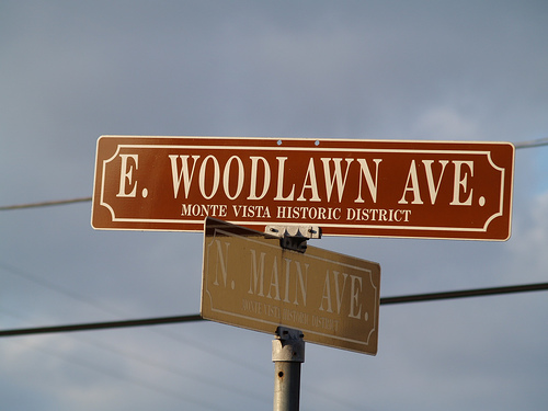
Typical Monte Vista Historic District street sign. The Monte Vista Historic District is a neighborhood of about 3,000 people located near downtown San Antonio. The district stretches from the southern area near San Antonio College (Ashby Place) to its most northern point along Hildebrand Avenue (near the city of Olmos Park). It was officially registered in the National Register of Historic Places in 1998. Because of this, homeowners must adhere to rules and regulations set by the Monte Vista Historical Association (a group of homeowners who organized in the 1970s to benefit the area).[1]
Monte Vista began development in 1889 when real estate developers took an interest in a goat pasture about 5 miles from the center of downtown San Antonio. Homes were built street by street, with different developers owning blocks at a time. Building was completed by the 1930s.
Contents
Government and infrastructure
The San Antonio Police Department (SAPD) serves Monte Vista from the Central Substation.[2]
The United States Postal Service Laurel Heights Post Office is adjacent to and outside of Monte Vista.[3]
Education
Primary and secondary schools
The district is within the San Antonio Independent School District.[4] Most of Monte Vista is zoned to Cotton Elementary School, and Mark Twain Middle School, both outside of the district.[5][6] Some residents are zoned to Hawthorne K-8 Academy, also outside of the Monte Vista district.[7] Edison High School, outside of the district, serves all of Monte Vista.[8]
The Roman Catholic Archdiocese of San Antonio operates the St. Anthony Catholic School (K-8) and the St. Anthony Catholic High School in Monte Vista.[9][10][11] Keystone School, a K-12 private school, is in Monte Vista.[9][12] San Antonio Academy, a private PK-8 school for boys, is in Monte Vista.[9][13]
Colleges and universities
The district is adjacent to Trinity University and San Antonio College.[4]
Public libraries
The Hannah Landa Memorial Library of the San Antonio Public Library is located in the district.[14]
References
- ^ San Antonio's Monte Vista by Donald E. Everett
- ^ "Map of San Antonio Police Service Areas." City of San Antonio. Retrieved on March 29, 2010.
- ^ "Post Office™ Location - LAUREL HEIGHTS." U.S. Postal Service. Retrieved on March 25, 2010.
- ^ a b "District Map." Monte Vista Historical District. Retrieved on March 25, 2010.
- ^ "Cotton Elementary Boundary Map." San Antonio Independent School District. Retrieved on March 25, 2010.
- ^ "Mark Twain Middle Boundary Map." San Antonio Independent School District. Retrieved on March 25, 2010.
- ^ "Hawthorne Academy Boundary Map." San Antonio Independent School District. Retrieved on March 25, 2010.
- ^ "Edison High Boundary Map." San Antonio Independent School District. Retrieved on March 25, 2010.
- ^ a b c "Map of Streets." Monte Vista Historical District. Retrieved on March 25, 2010.
- ^ "SAS at a Glance." St. Anthony Catholic School. Retrieved on March 25, 2010. "205 W. Huisache, San Antonio, TX 78212."
- ^ "SACHS Home." St. Anthony Catholic High School. Retrieved on March 25, 2010.
- ^ "About Keystone." Keystone School. Retrieved on March 25, 2010.
- ^ "Academy Facts." San Antonio Academy. Retrieved on March 25, 2010.
- ^ "Landa Library." San Antonio Public Library. Retrieved on March 25, 2010.
External links
Categories:- Neighborhoods in San Antonio, Texas
Wikimedia Foundation. 2010.