- Target Field (Metro Transit station)
-
Target Field 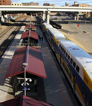
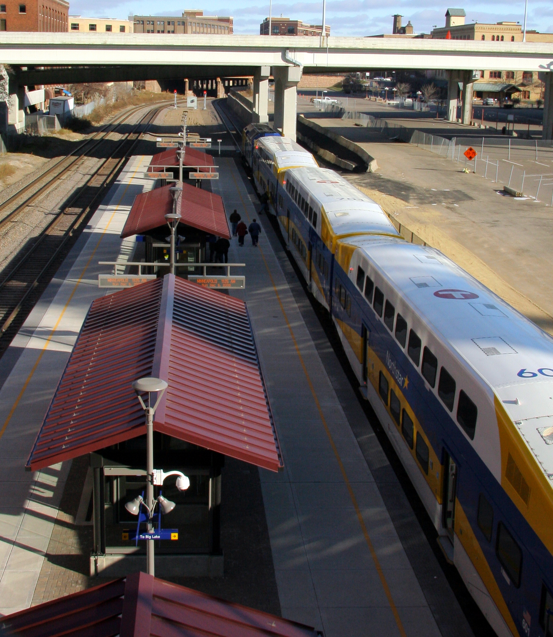
A view down upon the Northstar Commuter Rail platform at Target Field station.Station statistics Address 5th Street & 3rd Avenue North
Minneapolis, MN 55401Coordinates 44°59′0″N 93°16′38″W / 44.983333°N 93.27722°WCoordinates: 44°59′0″N 93°16′38″W / 44.983333°N 93.27722°W Lines Northstar Line 888Central Corridor (Under construction)Southwest Corridor (Approved)Bottineau Boulevard Transitway (Planned)Red Rock Corridor (Planned)Northern Lights Express (Planned)Connections At 5th Street Garage:
3, 14, 16, 20, 50, 94, 353, 355, 365, 375, 856[1]Platforms Island platform Other information Opened November 14, 2009 (light rail)
November 16, 2009 (commuter rail)[2]Accessible 
Owned by Metro Transit Fare zone Downtown zone (Hiawatha) Services Preceding station Metro Transit Following station Terminus Hiawatha Line Route 55Warehouse District / Hennepin Avenuetoward Mall of AmericaNorthstar Line Route 888Fridleytoward Big LakeUnder Construction Terminus Central Corridor Warehouse District / Hennepin Avenuetoward Saint Paul Union DepotProposed Terminus Southwest Corridor Royalstontoward Mitchell RoadBottineau Boulevard Transitway Van White Blvdtoward [[Template:S-line/MNMT right/Bottineau Boulevard Transitway Station|Template:S-line/MNMT right/Bottineau Boulevard Transitway]]Red Rock Corridor toward HastingsNorthern Lights Express toward DuluthTarget Field station (formally known during construction under the names of Minneapolis Intermodal Station & Downtown Minneapolis Ballpark Station) is a multimodal commuter train and light rail station in Minneapolis, Minnesota. Located in the North Loop area of Downtown Minneapolis, the name of the station reflects that of the new Minnesota Twins baseball stadium located next to the station, Target Field. Light rail service started November 14, 2009; commuter rail service started November 16, 2009. The light rail station platform runs northwest/southeast on the 5th Street North bridge over the commuter rail tracks, while the commuter train platform runs northeast/southwest below at ground level between two tracks. By the commuter platform, there is a third track on the northwest side that allows freight traffic to bypass the platform tracks. The Northstar commuter rail fares from this station range from $3.25 to $7.00 on weekdays and $2.50 to $5.25 on weekends, depending on destination.[3]
Contents
Future plans
There are plans to incorporate the Red Rock Corridor, Central Corridor, Southwest Corridor, and Bottineau Boulevard train lines and Metro Transit and Minnesota Valley Transportation Authority Bus Routes into this station.
The station connects to Target Field, and trains are able to wait under the stadium. The Minnesota Twins pledged $2.6 million for its construction.[4]
History
The first railroad tracks in Minneapolis on the West bank were placed in this location by the St. Paul and Pacific Railroad which later became the Great Northern Railway. The Minneapolis and St. Louis Railway and Great Northern Railway laid parallel East/West tracks in this location platted as Dakota Avenue/4th Avenue between 3rd Street North and 5th Street North. The Minneapolis and St. Louis Track was the Southern track and the Great Northern track was the Northern track. This grade separation was agreed in 1890 after much litigation.[5]
The station is very near the site of two former Minneapolis railroad depots. The very first rail depot in downtown Minneapolis was located 2 blocks east along the same tracks.[5] The Electric Short Line Railway (Luce Line) Depot was located at the Northwest corner of 7th St. North and 3rd Avenue North, currently a parking lot. It was shared with the Minneapolis, St. Paul, Rochester and Dubuque Electric Traction Company, (known as the Dan Patch Line and later the Minneapolis, Northfield and Southern Railway) as well as the Minneapolis, Anoka and Cuyuna Range Interurban railway.[5] The site occupied by the station had been a parking lot for many years.
Additional photos
-
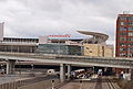
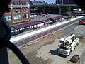
View of the commuter platform in front of the nearly-complete Target Field. The upper light-rail platforms are obscured by bridges.
-
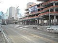
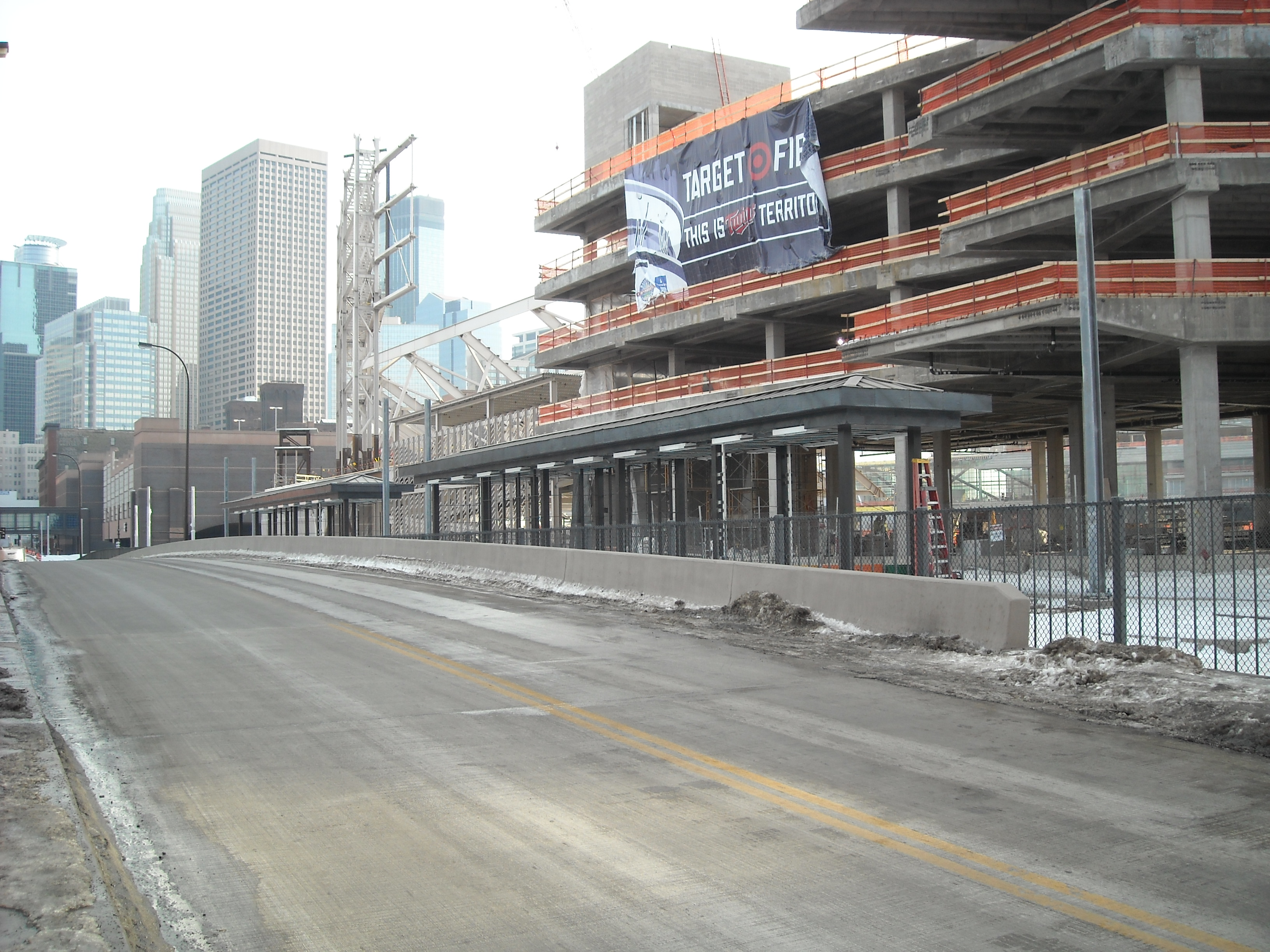
Platforms for Hiawatha Line light rail under construction.
-
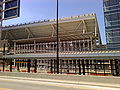
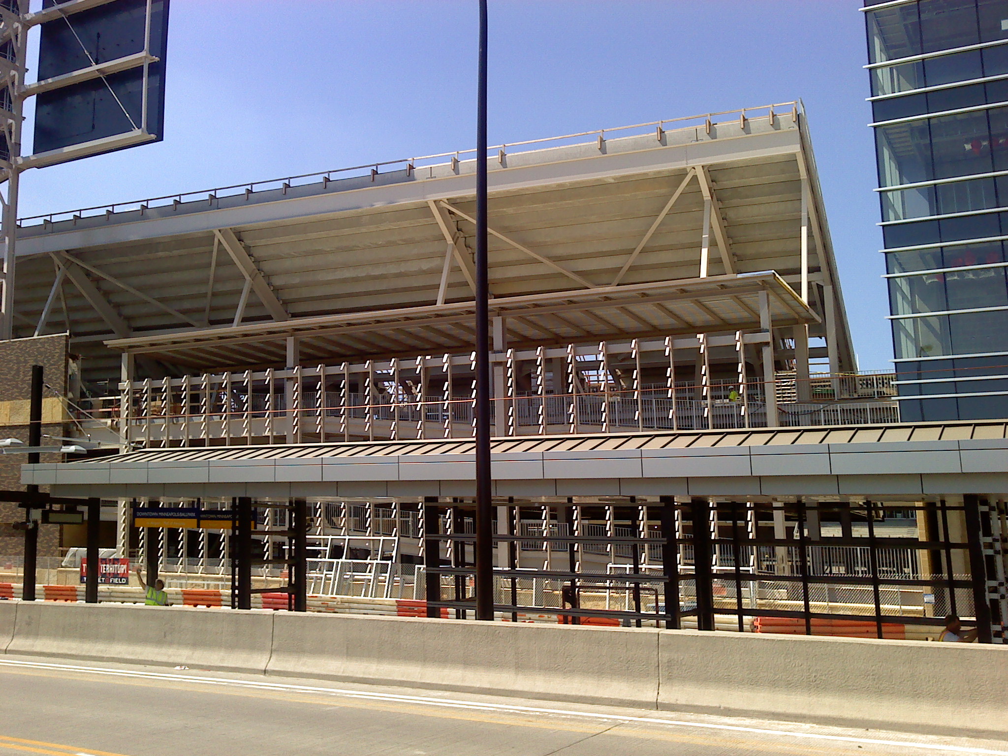
LRT platforms, June 2009
-
Northstar platforms, June 2009
References
- ^ "Downtown Minneapolis Transit System Map". Metro Transit. December 2009. http://www.metrotransit.org/sysmap/dtMplsmap.htm. Retrieved 2010-02-15.[dead link]
- ^ http://www.metrocouncil.org/news/2009/news_651.htm
- ^ http://www.metrotransit.org/Northstar/riding.asp
- ^ Paul Levy and Joy Powell, Finally, all aboard Northstar rail, Star Tribune, December 10, 2007.
- ^ a b c Hofsommer, Don L. (2005). Minneapolis and the Age of Railways: And the Age of Railways. University of Minnesota Press. ISBN 0816645019.
External links
Categories:- Central Corridor stations
- Hiawatha Line stations
- Northstar Commuter Rail stations
- Railway stations opened in 2009
-


Wikimedia Foundation. 2010.