- D5 road (Croatia)
-
D5 state road
Route information Part of 
Length: 123.2 km (76.6 mi) Major junctions From:  Terezino Polje border crossing to Hungary
 D2 in Virovitica
 D28 in Veliki Zdenci
 D45 in Veliki Zdenci
 D34 in Donji Daruvar
 D26 in Daruvar
 D38 in Pakrac
 D45 in Lipik
 A3 in Okučani interchange
To: Stara Gradiška border crossing to Bosnia and HerzegovinaLocation Counties: Virovitica-Podravina Kotar, Bjelovar-Bilogora, Požega-Slavonia, Brod-Posavina Major cities: Virovitica, Daruvar, Pakrac, Lipik, Okučani Highway system State roads in Croatia
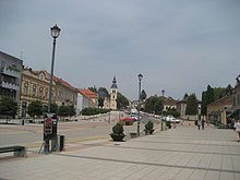
 Virovitica, on the D5 route
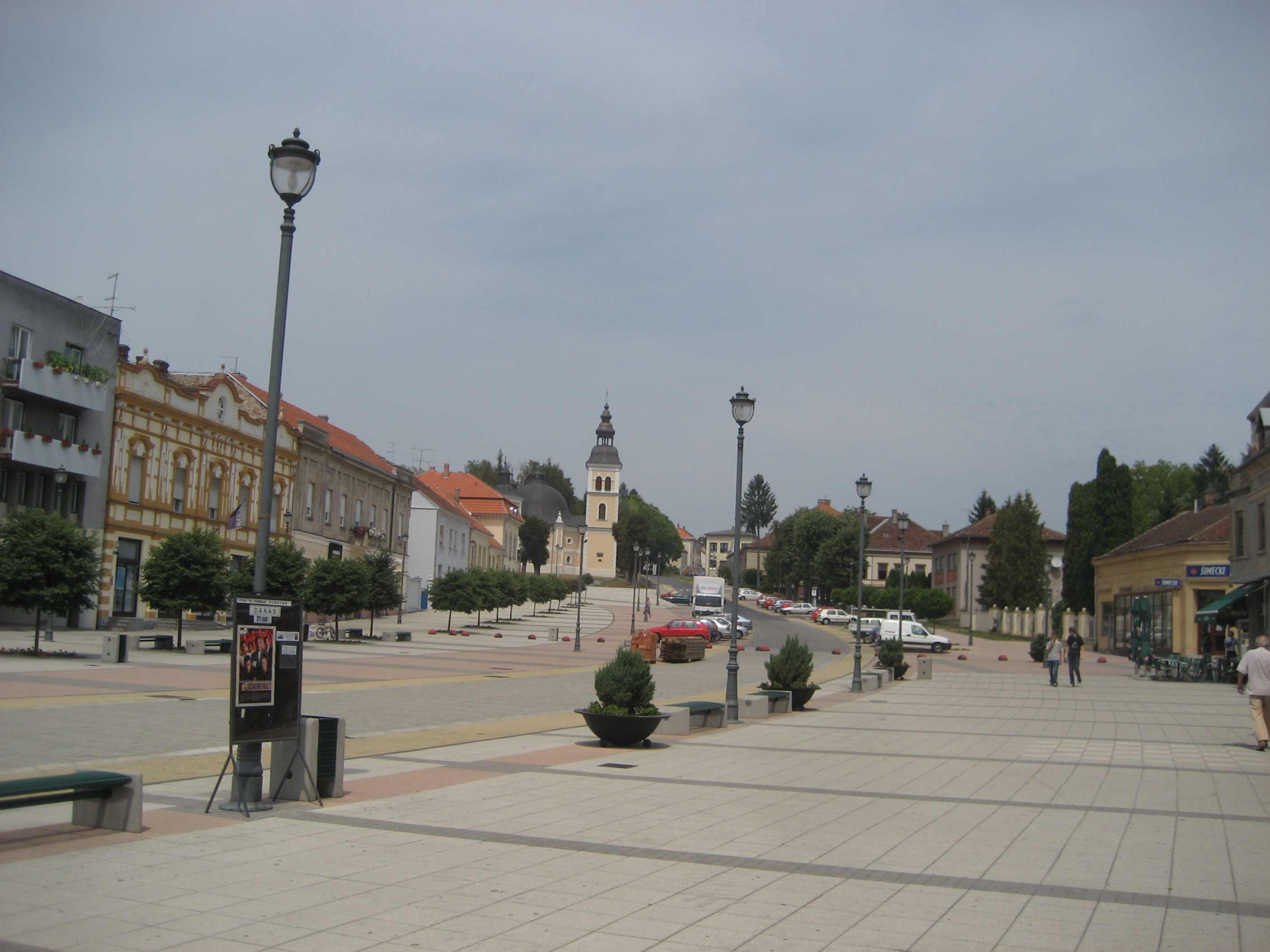
 Daruvar, on the D5 route
D5 is a state road in the eastern Croatia the A3 motorway Okučani interchange to a number of cities in the western Slavonia region, including Pakrac and Daruvar, as well as to Drava River valley city of Virovitica. The road also links international border crossings Terezino Polje and Stara Gradiška providing access to Barcs, Hungary and Bosanska Gradiška, Bosnia and Herzegovina respectively.[1] The road is 123.2 km (76.6 mi) long.[2]
The road, as well as all other state roads in Croatia, is managed and maintained by Hrvatske ceste, a state-owned company.[3]
Contents
Traffic volume
Traffic is regularly counted and reported by Hrvatske ceste, operator of the road.[4]
D5 traffic volume Road Counting site AADT ASDT Notes  D5
D52202 Terezino Polje 913 1,271 Adjacent to the Ž4004 junction. D52214 Virovitica bypass north 1,071 1,362 Between the D2 and the Ž4249 junctions. D52215 Virovitica bypass south 1,349 1,781 Between the D2 and the Ž4251 junctions. D52205 Grubišno Polje 3,185 3,412 Between the Ž3094 and the Ž3139 junctions. D52206 Končanica west 2,450 2,624 Adjacent to the D45 junction. D52210 Kip 1,799 1,906 Adjacent to the Ž3171 junction. D52213 Badljevina 2,350 2,469 Adjacent to the Ž3272 junction. The AADT figure estimated by Hrvatske ceste. D53406 Cage 1,506 1,859 Adjacent to the Ž3252 junction. D53410 Stara Gradiška 4,033 4,980 Between the Ž4226 and the Ž4227 junctions. Road junctions and populated areas
D5 junctions/populated areas Type Slip roads/Notes 
Terezino Polje border crossing to Hungary
 Route 6 to Barcs, Hungary.
The northern terminus of the road.
Terezino Polje Bazje
Ž4004 to Veliko Polje.Kapela Dvor
Ž4009 to Turanovac.Lukač Virovitica
D2 to Pitomača, Koprivnica and Varaždin (to the west) and to Slatina, Našice and Osijek (to the east).
Ž4249 to D2 state road.
Ž4251 to D2 state road.Lončarica Velika Dapčevica Grubišno Polje
Ž3139 to Grbavac.Mali Zdenci Veliki Zdenci
D28 to Bjelovar and Vrbovec.
D45 to Garešnica and Kutina.Končanica
Ž3138 to D26 state road.Donji Daruvar
D34 to Suhopolje (D2) and Donji Miholjac (D53).Daruvar
D26 to Dežanovac, Garešnica, Čazma and Vrbovec (D28).
Ž3170 to Vrbovac and Markovac.
Ž3287 within Daruvar itself.
Ž3172 to Doljani and Sirač. Ž3171 to Šibovac. Kip Badljevina
Ž3169 to Trojeglava.
Ž3272 to Milijanovac.Ž3291 to Dereza, Sirač and Pakrani. Ž4097 to Gornja Obrijež and Donja Obrijež. Pakrac
D38 to Požega (D51), Pleternica (D49) and Đakovo (D7).
Ž4098 to Prekopakra.Lipik
D47 to Novska, A3 motorway Novska interchange, Hrvatska Dubica, Hrvatska Kostajnica and Dvor (D6).Donji Čaglić Bjelanovac Bijela Stijena Benkovac Cage Okučani
Ž3252 to Novska (D312).
Ž4153 to Vrbovljani.
Ž4158 to Nova Gradiška, Staro Petrovo Selo and Batrina (D49).
Ž4241 to Okučani railway station.Dubovac  A3 in Okučani interchange to Zagreb (to the west) and to Slavonski Brod (to the east).
Novi Varoš Ž4226 to Stara Gradiška and Gornji Varoš. Ž4227 to Donji Varoš. Stara Gradiška border crossing to Bosnia and Herzegovina
The road extends to Bosanska Gradiška, Bosnia and Herzegovina.
The southern terminus of the road.See also
- State roads in Croatia
- Hrvatske ceste
Sources
- ^ "Regulation on motorway markings, chainage, interchange/exit/rest area numbers and names" (in Croatian). Narodne novine. May 6, 2003. http://narodne-novine.nn.hr/clanci/sluzbeni/305463.html.
- ^ "Decision on categorization of public roads as state roads, county roads and local roads" (in Croatian). Narodne novine. February 17, 2010. http://narodne-novine.nn.hr/clanci/sluzbeni/2010_02_17_410.html.
- ^ "Public Roads Act" (in Croatian). Narodne novine. December 14, 2004. http://narodne-novine.nn.hr/clanci/sluzbeni/2004_12_180_3130.html.
- ^ "Traffic counting on the roadways of Croatia in 2009 - digest" (in English). Hrvatske ceste. May 1, 2010. http://www.hrvatske-ceste.hr/WEB%20-%20Legislativa/brojenje-prometa/CroDig2009.pdf.
Categories:


Wikimedia Foundation. 2010.