- Arvandkenar
-
For the administrative subdivision, see Arvandkenar District.
Arvandkenar
اروندكنار— city — 
 Arvandkenar
Coordinates: 30°03′42″N 48°27′03″E / 30.06167°N 48.45083°ECoordinates: 30°03′42″N 48°27′03″E / 30.06167°N 48.45083°E Country  Iran
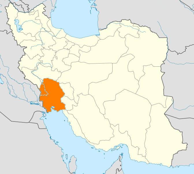
IranProvince Khuzestan County Abadan Bakhsh Arvandkenar Population (2006) – Total 9,761 Time zone IRST (UTC+3:30) – Summer (DST) IRDT (UTC+4:30) Arvandkenar (Persian: اروندكنار, also Romanized as Arvandkenār and Arvand Kenār)[1] is a city in and the capital of Arvandkenar District, in Abadan County, Khuzestan Province, Iran. At the 2006 census, its population was 9,761, in 1,897 families.[2]
Arvandkenar is a port city, 50 kilometres (31 mi) south of Abadan, and has oil reserves. Arvandkenar is the last port of Iran on Arvand Rud.
References
- ^ Arvandkenar can be found at GEOnet Names Server, at this link, by opening the Advanced Search box, entering "396251" in the "Unique Feature Id" form, and clicking on "Search Database".
- ^ "Census of the Islamic Republic of Iran, 1385 (2006)" (Excel). Islamic Republic of Iran. http://www.amar.org.ir/DesktopModules/FTPManager/upload/upload2360/newjkh/newjkh/06.xls.
 Khuzestan Province
Capital 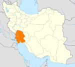
Counties (A-K)
and CitiesAbadan · ArvandkenarAhvaz · HamidiyehAndika CountyQaleh-ye KhvajehAndimeshk · HoseyniyehBagh-e Malek CountyBagh-e Malek · Qaleh Tall · SeydunBavi CountySusangerd · BostanGotvand CountyGotvand · Jannat MakanHaftgel CountyHaftgelHendijan · ZahrehHoveyzeh CountyHoveyzeh · RafiCounties (L-Z)
and CitiesOmidiyeh · JayezanRamshir CountyRamshirSights Abadan's museum · Gundishapur · Acropole of Shush · Apadana in Susa · Arjan castle, Behbahan · Asak ancient city, Hendijan · Chagadom tappe fire temple · Chogha Mish Proto-Elamite site · Chogha Zanbil · Dav o Dokhtar castle, Ramhormoz · Dez Dam · Eshkaft-e Salman · Gargar bridge, Shushtar · Haft Tepe · Hoor-al-azim lagoon · Imamzadeh Roudband, Dezful · Imamzadeh Sabz-e-ghaba, Dezful · Karkheh dam · Khorramshahr mosque, Battle of Khorramshahr · Kul-e Farah · lake of Karkheh dam · Lake of Karun · Lali bridge · Meyangaran lagoon · Rangooni's mosque · Salasel castle, Shushtar · Shadegan lagoon · Shevi waterfall, Dezful · Shush-Daniel · Shushtar Historical Hydraulic System · Shushtar Watermills · Susa · Shush Castle · Taryana · Tobiron valley, Dezful · Tomb of Daniel, Shush · White bridge, Ahvaz · Ya'qub-i Laith's tomb, Dezful
Categories:- Abadan County
- Cities in Iran
- Cities in Khuzestan Province
- Port cities and towns in Iran
- Khuzestan Province geography stubs

Wikimedia Foundation. 2010.