Alm — may refer to:*an alpine pasture. *Alm River in Austria, tributary of the Traun. *The protagonist of Fire Emblem Gaiden. * Alm Stadion , the traditional name of a German stadium in Bielefeld, currently called Schüco Arena *a historical liquid… … Wikipedia
Water landing — Ditching redirects here. For the intentional delinquence from compulsory schooling, see truancy. A water landing is, in the broadest sense, any landing on a body of water. All waterfowl, those seabirds capable of flight, and some human built… … Wikipedia
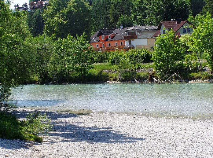
Laudach — Infobox River | river name = Laudach caption = Laudach in winter. origin = Laudachsee mouth = Alm (Bad Wimsbach Neydharting) basin countries = Austria length = about 20 km elevation = discharge = watershed = Laudach is a river in the Austrian… … Wikipedia
Liste der Luftseilbahnen — Diese Liste führt Luftseilbahnen in den angegebenen Ländern auf oder verweist auf die Liste der Luftseilbahnen im angegebenen Land. Inhaltsverzeichnis 1 Europa 1.1 Deutschland 1.2 Österreich 1.2.1 Kärnten … Deutsch Wikipedia
Zugspitze — The Zugspitze massif from the west (left: the summit) Elevation 2,962 m (9,718 ft) … Wikipedia
Reit im Winkl — Infobox German Location Wappen = Wappen Reit im Winkl.png lat deg = 47 |lat min = 41 |lat sec = 00 lon deg = 12 |lon min = 28 |lon sec = 00 Lageplan = Bundesland = Bayern Regierungsbezirk = Oberbayern Landkreis = Traunstein Höhe = 695 Fläche = 70 … Wikipedia
Mieminger Chain — Coordinates: 47°21′00″N 10°59′00″E / 47.35°N 10.9834°E / 47.35; 10.9834 … Wikipedia
AT&T — This article is about the company known as AT T since 2005 and formerly SBC. For the original AT T founded in 1885, see AT T Corporation. For the mobile telephony provider, see AT T Mobility. For other uses, see AT T (disambiguation). AT T Inc.… … Wikipedia
Liste Des Stations De Sports D'hiver — par continent. Sommaire 1 Europe 1.1 Allemagne 1.2 Andorre 1.3 Autriche … Wikipédia en Français
Liste des stations de sports d'hiver — par continent. Sommaire 1 Europe 1.1 Allemagne 1.2 Andorre 1.3 Autriche 1.3.1 … Wikipédia en Français