- Dahakot
-
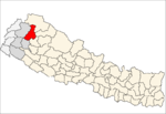
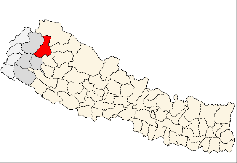
Dahakot — Village development committee — Location in Nepal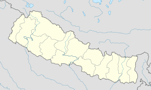
 Dahakot
Coordinates: 29°35′N 81°29′E / 29.58°N 81.48°ECoordinates: 29°35′N 81°29′E / 29.58°N 81.48°E Country  Nepal
NepalZone Seti Zone District Bajura District Population (1991) - Total 3,312 - Religions Hindu Time zone Nepal Time (UTC+5:45) Dahakot is a village in Bajura District in the Seti Zone of north-western Nepal. At the time of the 1991 Nepal census it had a population of 3,312 and had 569 houses in the village.[1]
References
- ^ "Nepal Census 2001". Nepal's Village Development Committees. Digital Himalaya. http://www.digitalhimalaya.com/collections/nepalcensus/form.php?selection=1. Retrieved 2008-08-27.
Atichaur · Baddhu · Bai · Barhabise · Bichhiya · Bramhatola · Budhiganga · Chhatara · Dahakot · Dogadi · Gotree · Gudukhati · Jagannath · Jayabageswori · Jugada · Kailashmandau · Kanda · Kolti · Kotila · Kuldeumadau · Manakot · Martadi · Pandusain · Rugin · Sappata · Tolodewal
 Categories:
- Populated places in Bajura District
- Seti Zone geography stubs

Wikimedia Foundation. 2010.