- Oldenhorn
-
Oldenhorn - Becca d'Audon 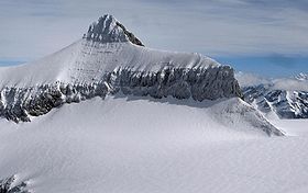
Elevation 3,132 m (10,276 ft) Prominence 295 m (968 ft) Location 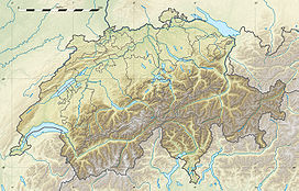
 Oldenhorn - Becca d'Audon
 Switzerland
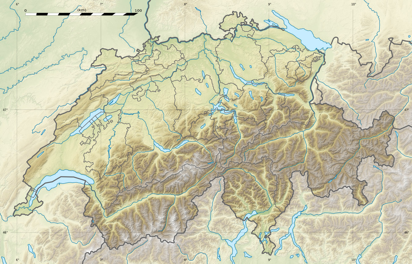
Range Bernese Alps Coordinates 46°19′45.3″N 7°13′17.9″E / 46.32925°N 7.221639°ECoordinates: 46°19′45.3″N 7°13′17.9″E / 46.32925°N 7.221639°E The Oldenhorn (German) or Becca d'Audon (French) is a mountain in the western Bernese Alps in Switzerland. The summit is the tripoint between the cantons of Vaud, Berne and Valais.
The Oldenhorn is the second highest peak of the massif of the Diablerets and canton of Vaud. It overlooks the Tsanfleuron Glacier on the south and the Col du Pillon on the north.
The summit can be easily reached by the east ridge in less than three hours. The nearby Scex Rouge (2,950 m) is connected from the Col du Pillon by a cable car. The Tsanfleuron Glacier must be crossed.
References
- Swisstopo maps
External links
Categories:- Mountains of the Alps
- Alpine Three-thousanders
- Mountains of Switzerland
- Switzerland stubs

Wikimedia Foundation. 2010.